
Backpacking Food for the Soul
It’s been over a year since I’ve written one of these. Partly it’s because I just didn’t feel like anything I’ve done in the last year was worthy of a full on trip report. It’s also partly because I’ve lost most of my interest in social media in general. My loss of interest could be due to fatigue, disillusionment, or just a natural consequence of being over 30. I don’t know. Somewhere along the way I had forgotten my original purpose in starting this blog, which was to document my adventures both for myself and for my friends and family. This one was worth writing, even if it took me a long time to get the words out.
Armed with masks and hand sanitizer, Matt and Debra and I braved the airports of Boston and NYC to fly to Denver. Mom drove from Dallas and was planning to spend the summer in the mountains, away from the Texas heat. We all arrived at the house on July 3rd. We spent the rest of the day acclimating and organizing for the next week.
Saturday, July 4th - Summit County Recreation
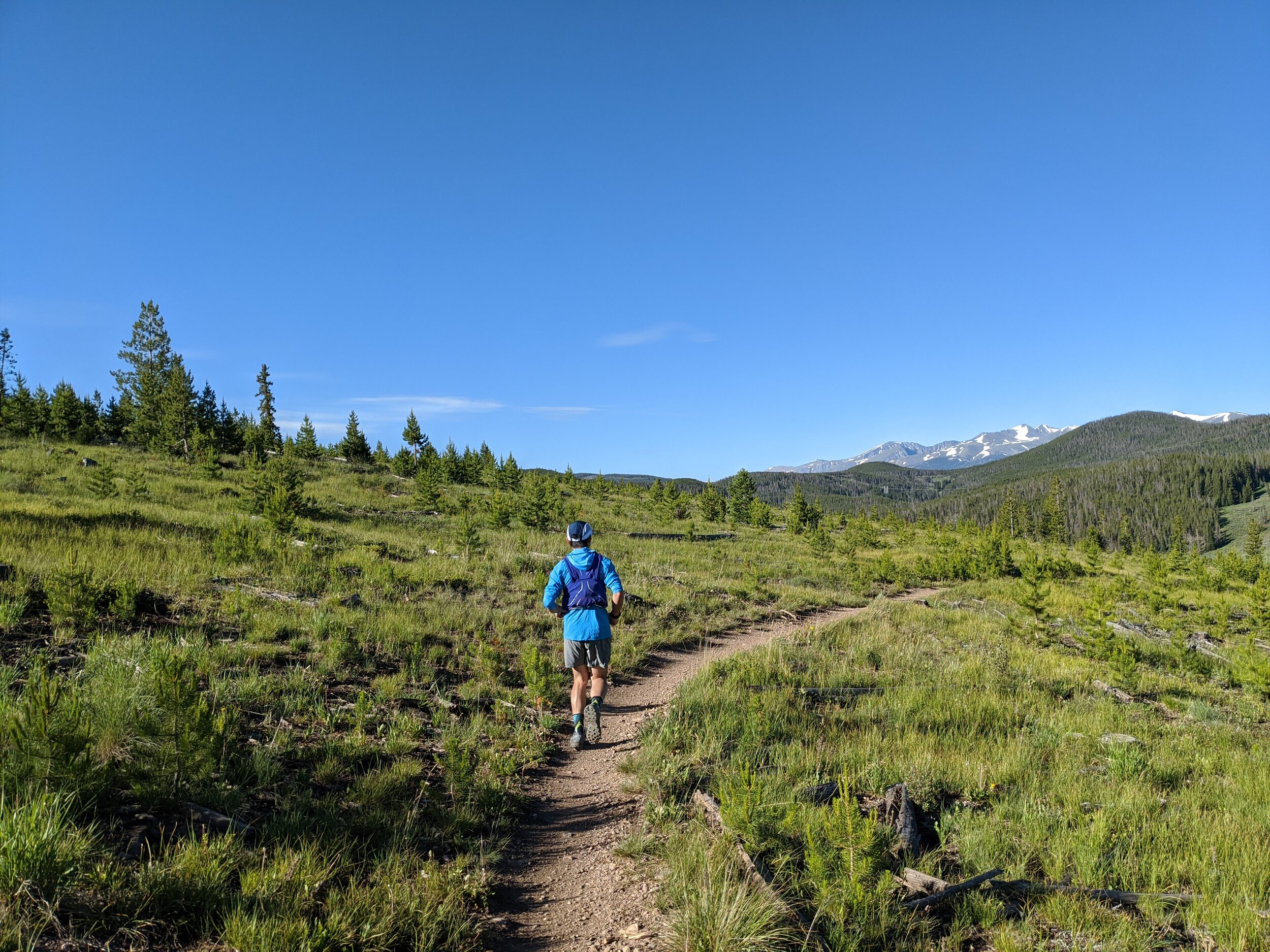
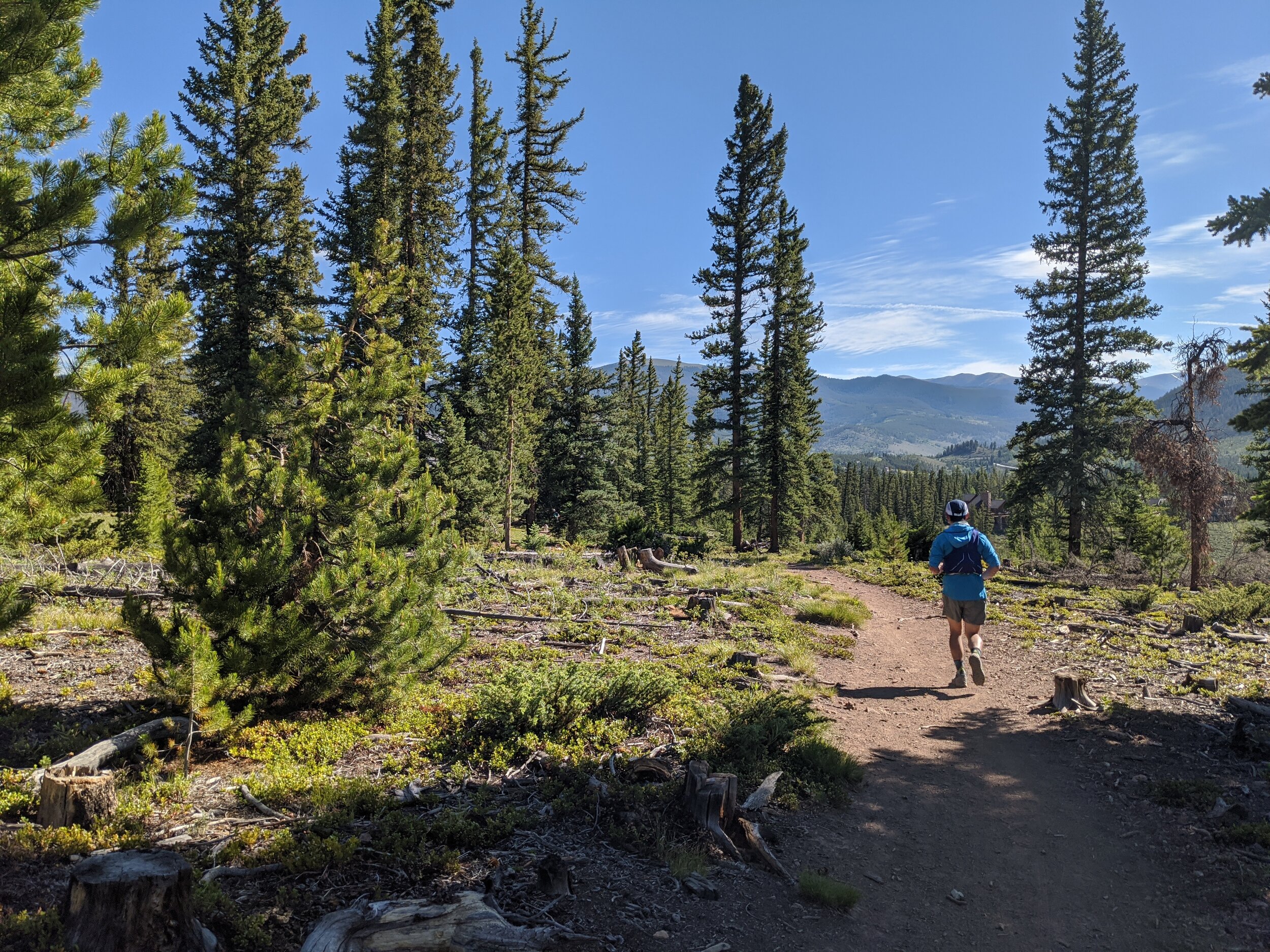
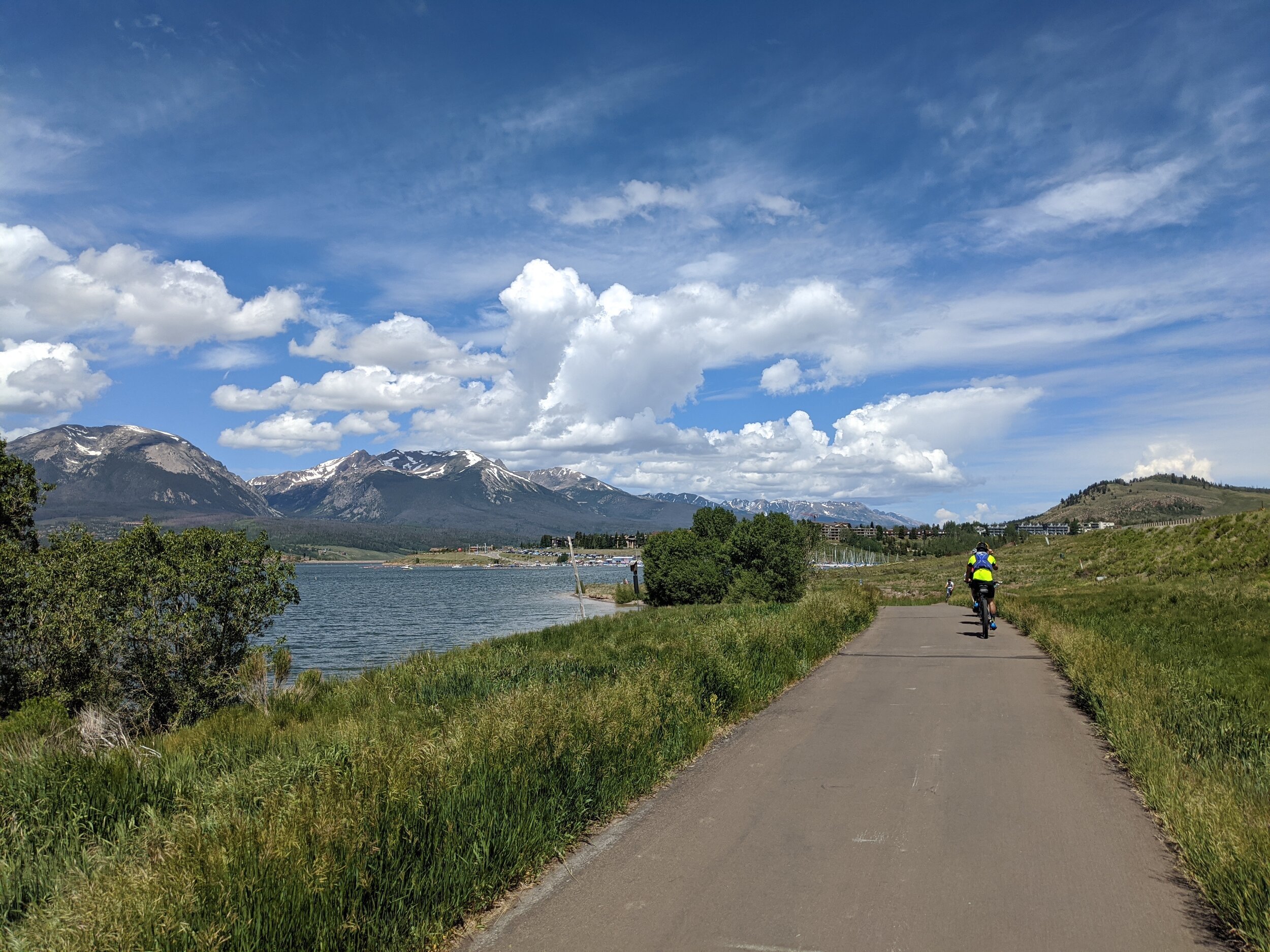
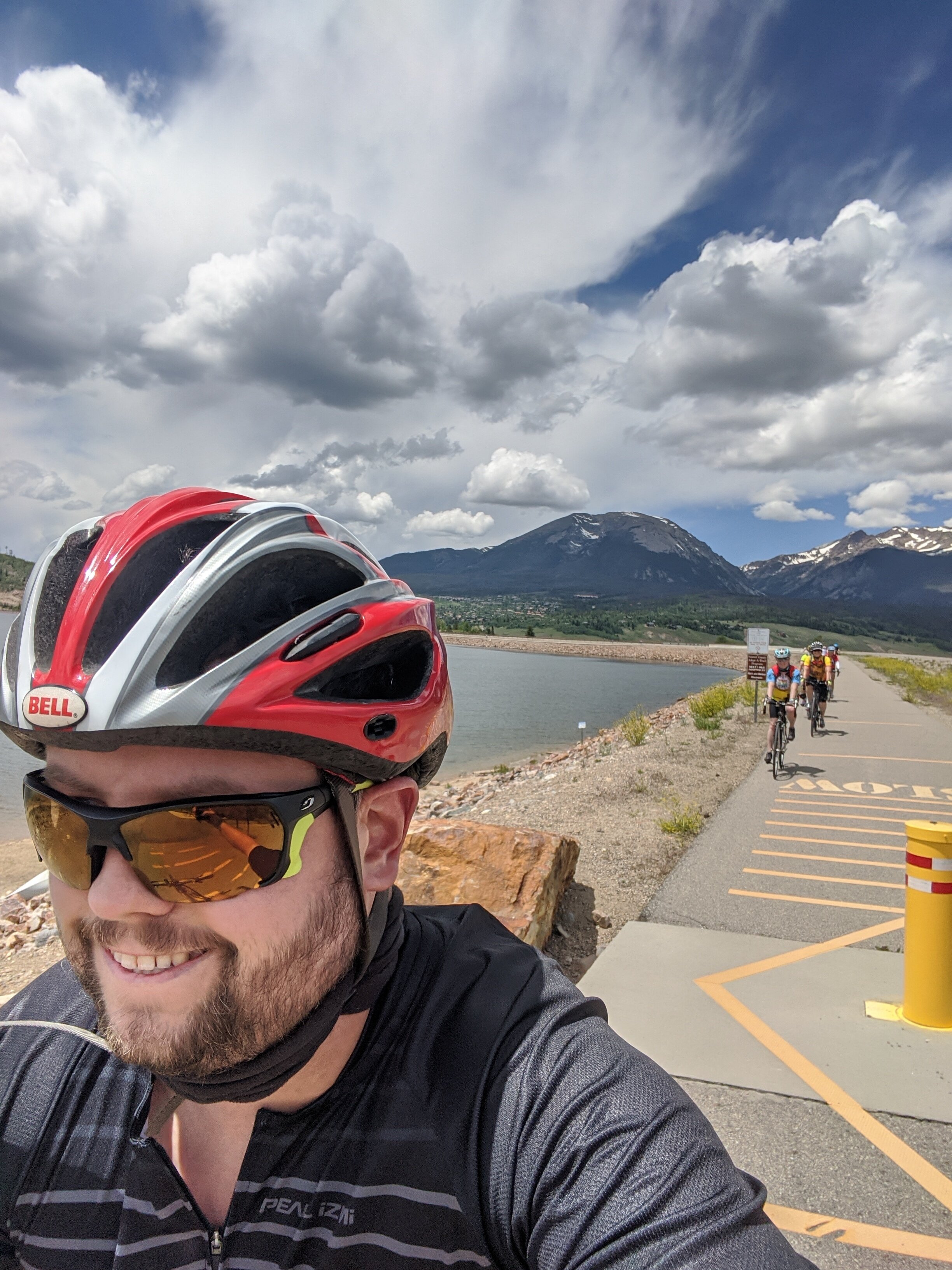
Matt and I got up early on Saturday morning to run one of the loops in the Soda Creek trail system accessible from the house. It’s such a nice network of trails and it’s amazing to have access to it right from our front door. We met several parties of mountain bikers and runners out enjoying the early 4th of July morning. We returned in time to join Mom and Debra on a bike ride from Summit Cove over to Frisco and back.
Sunday, July 5th - Mt Sniktau (13,240’) and Grizzly Peak (13,333’)
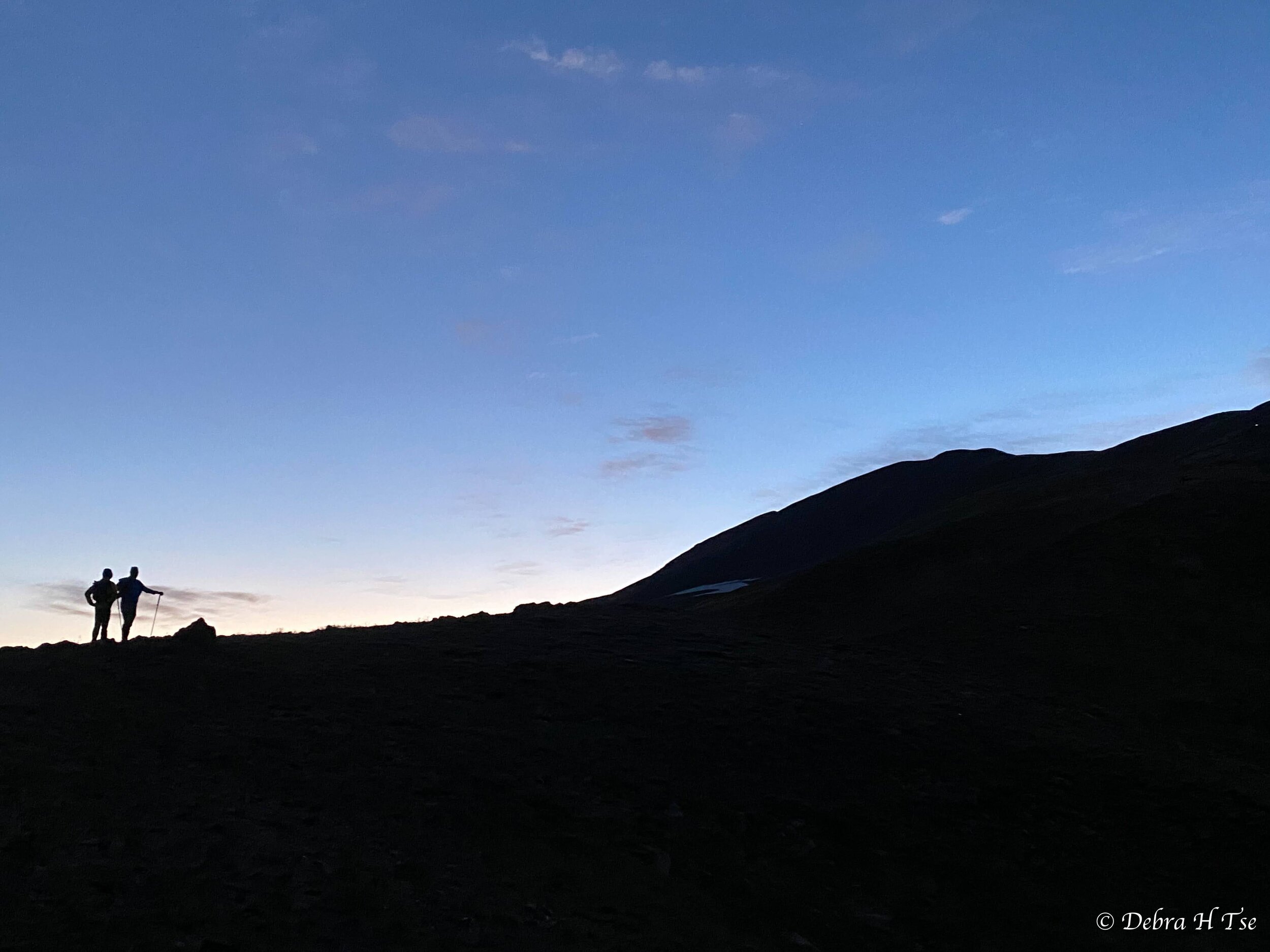
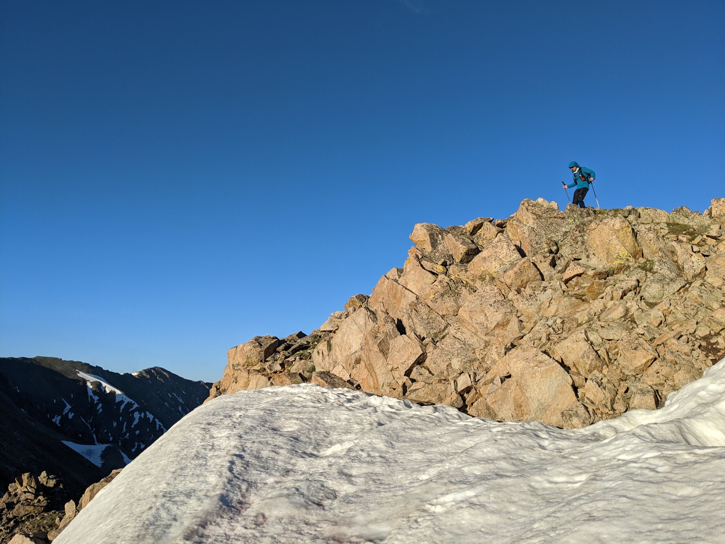
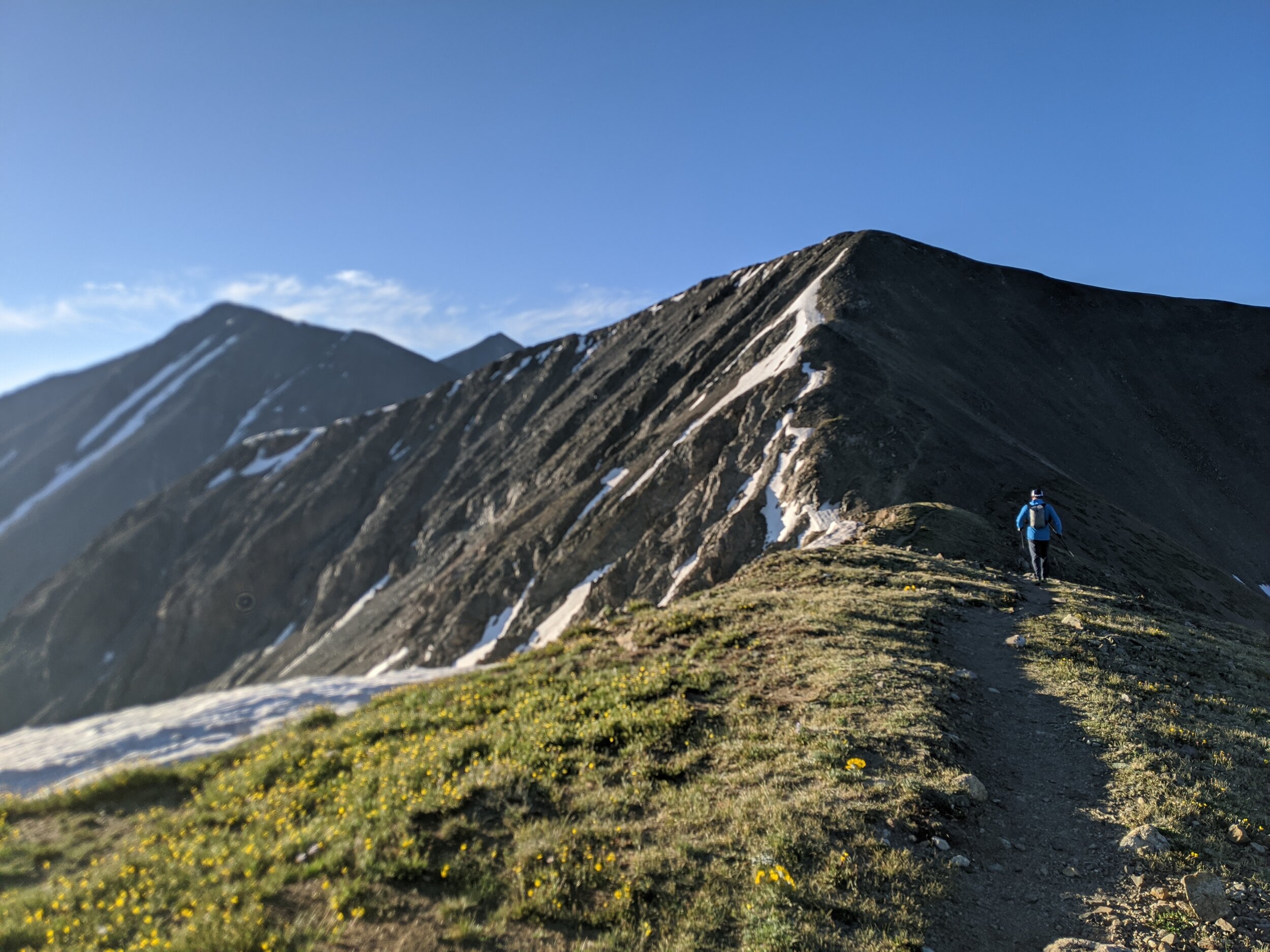
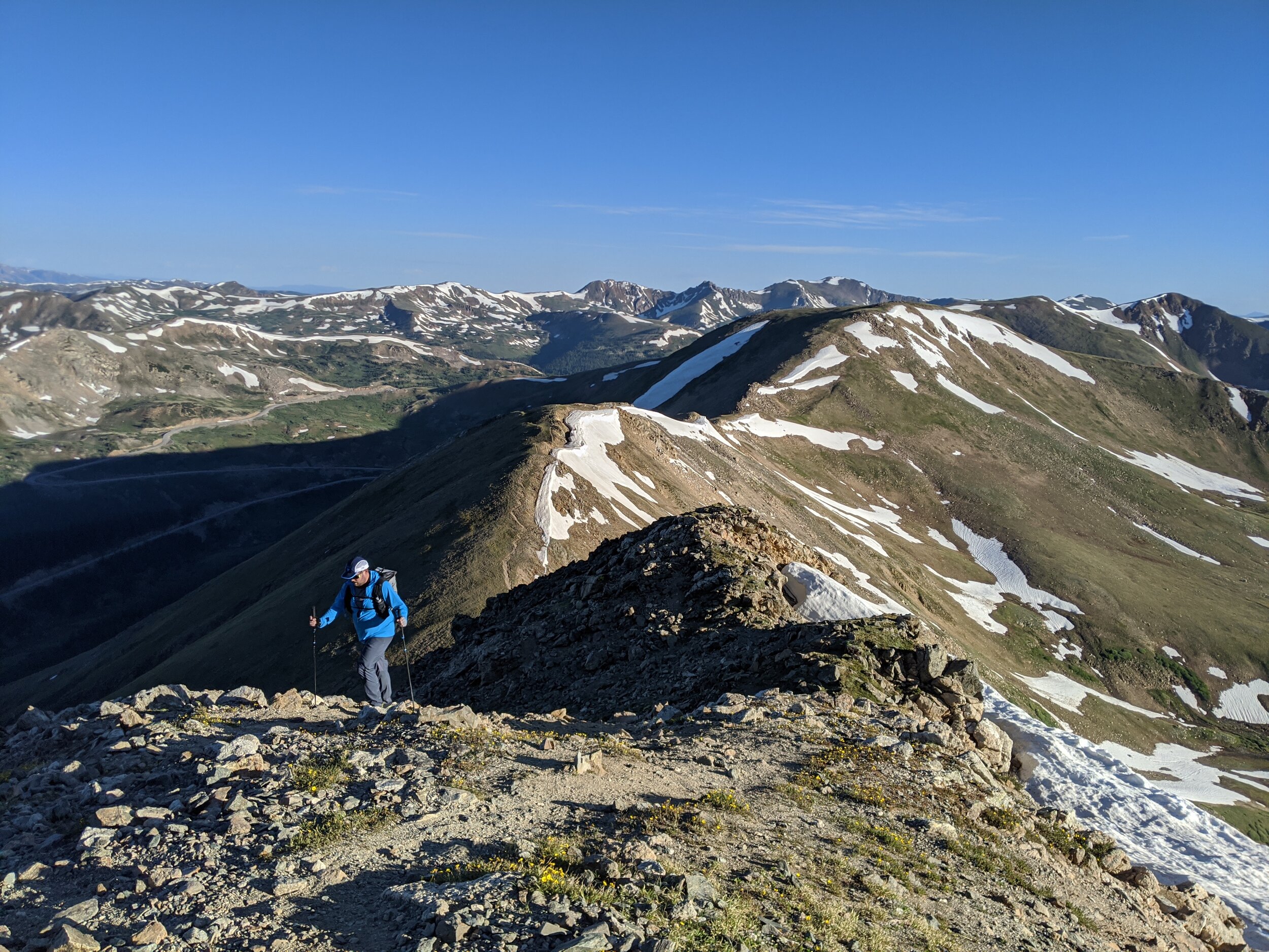
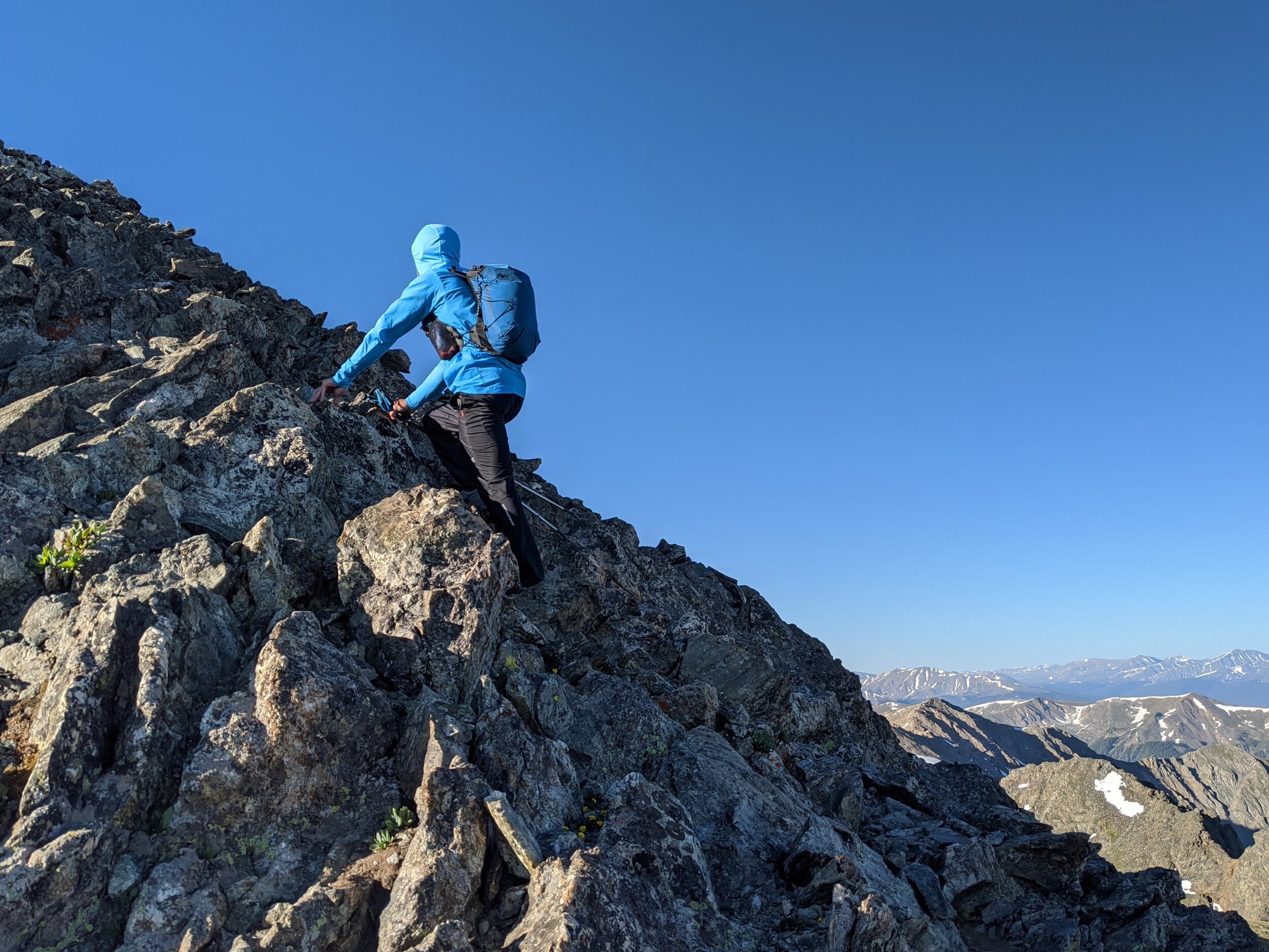
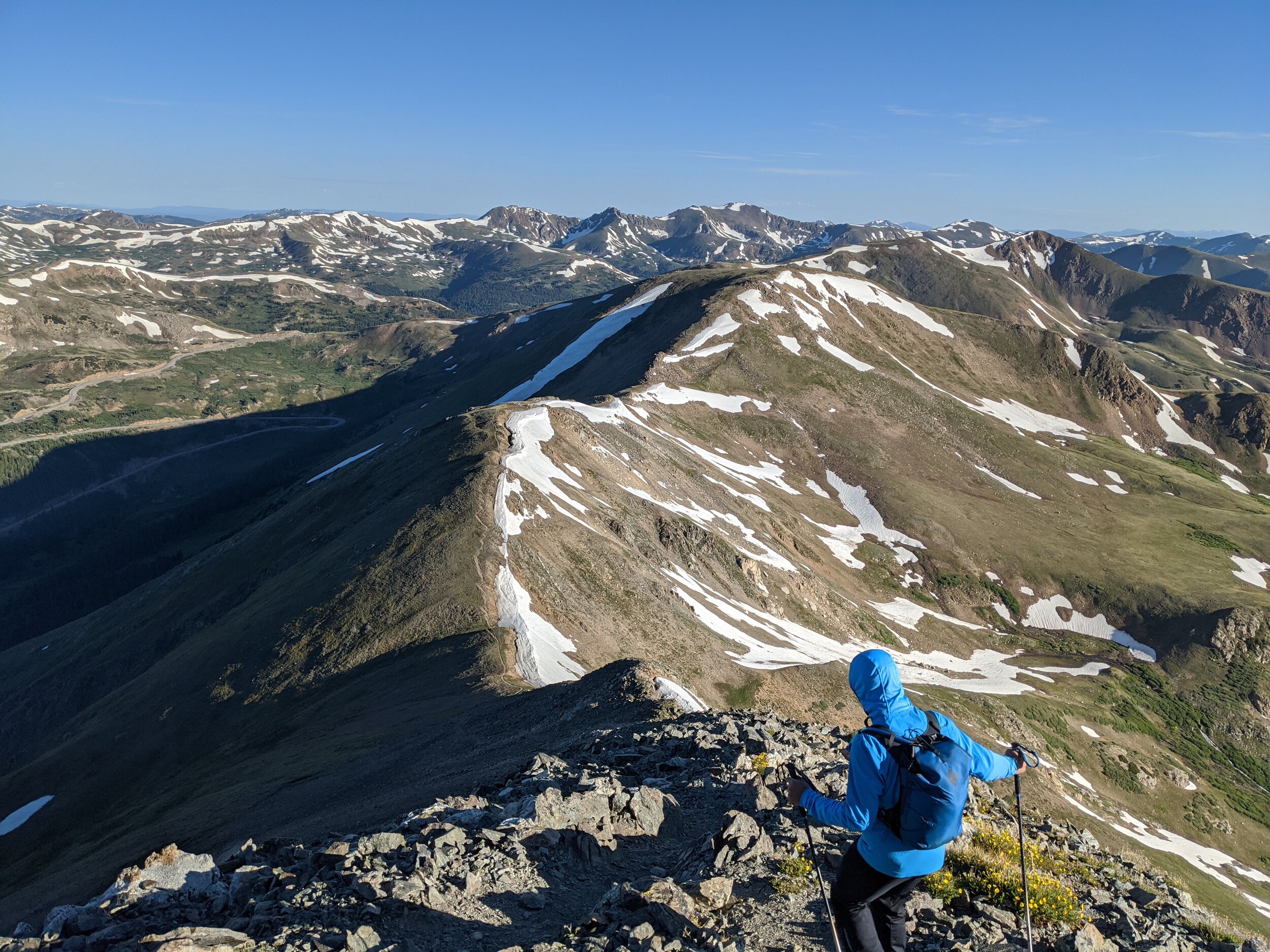
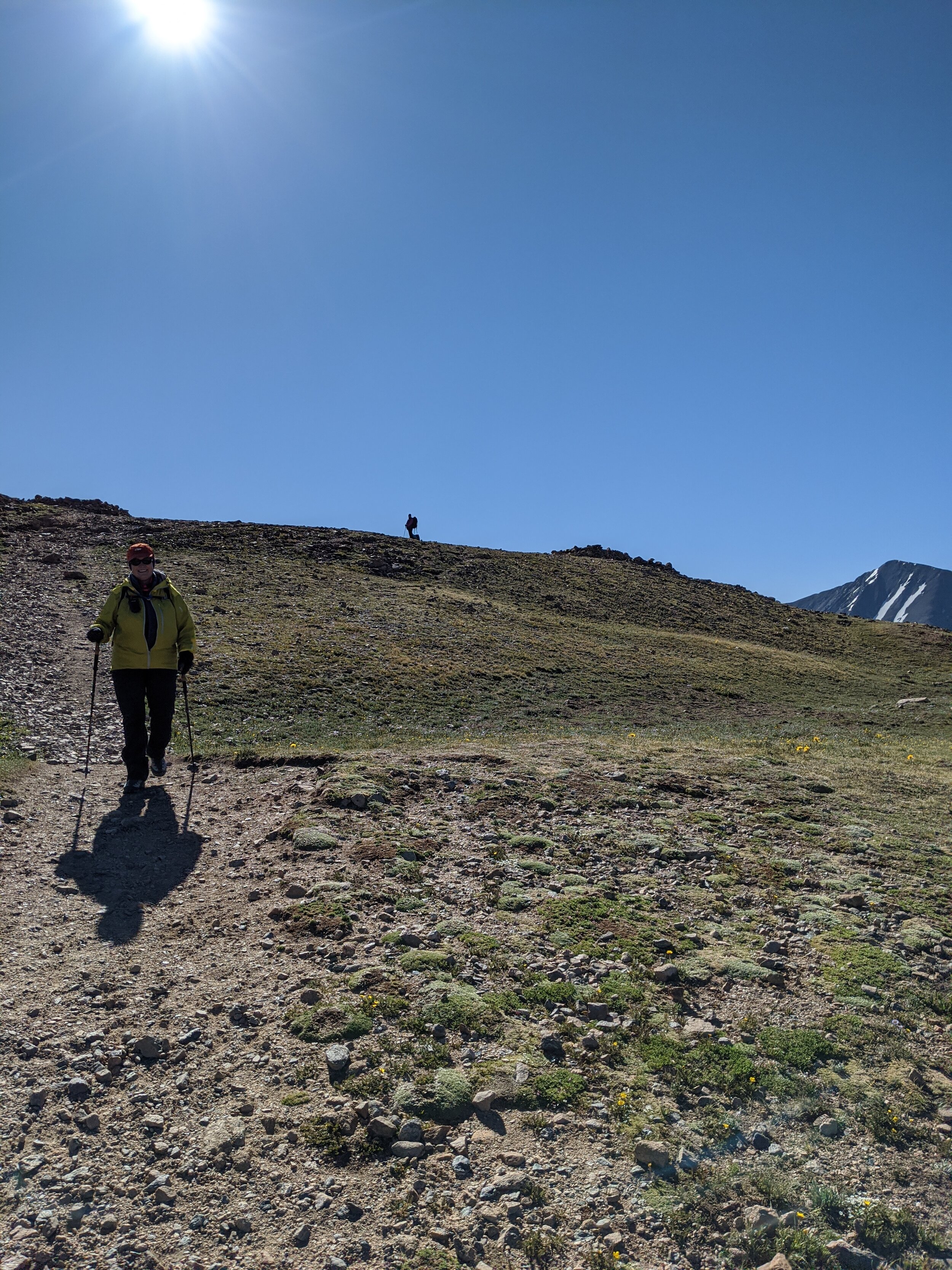
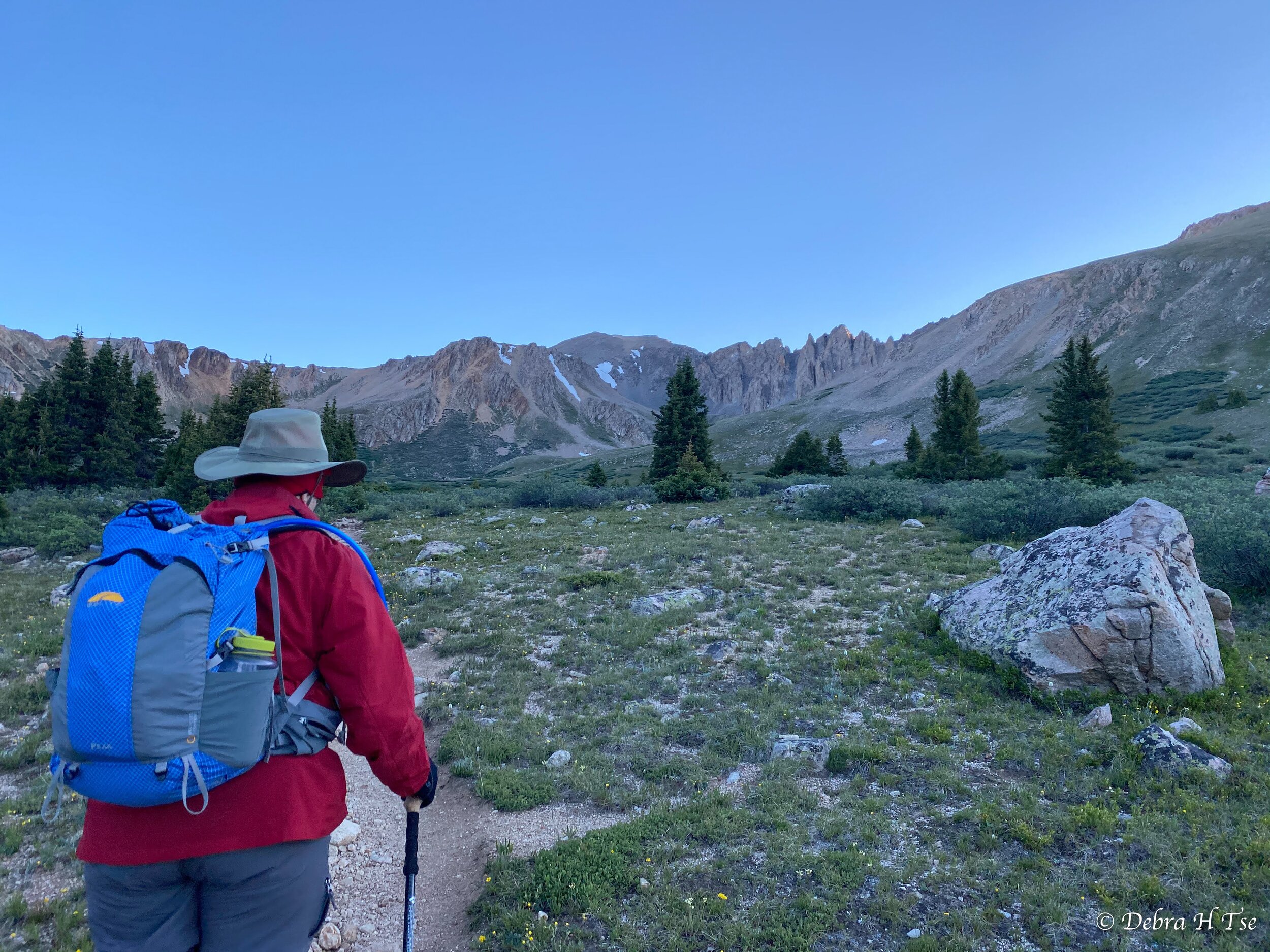
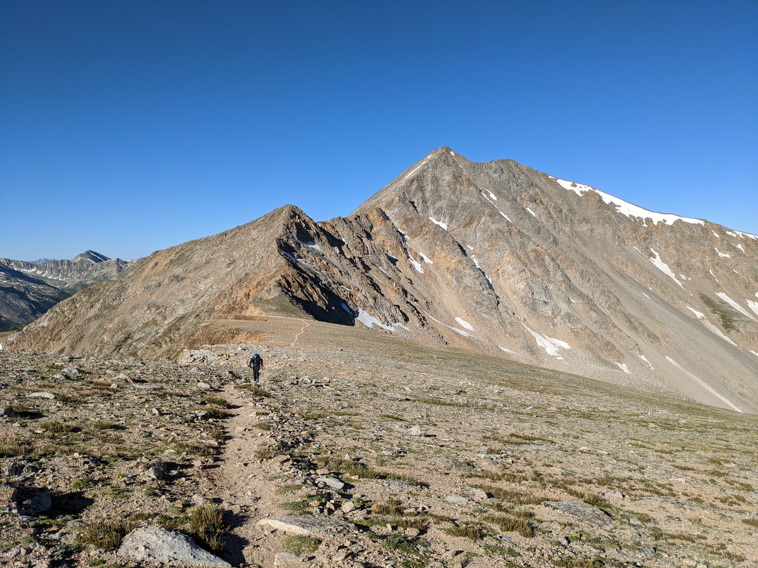
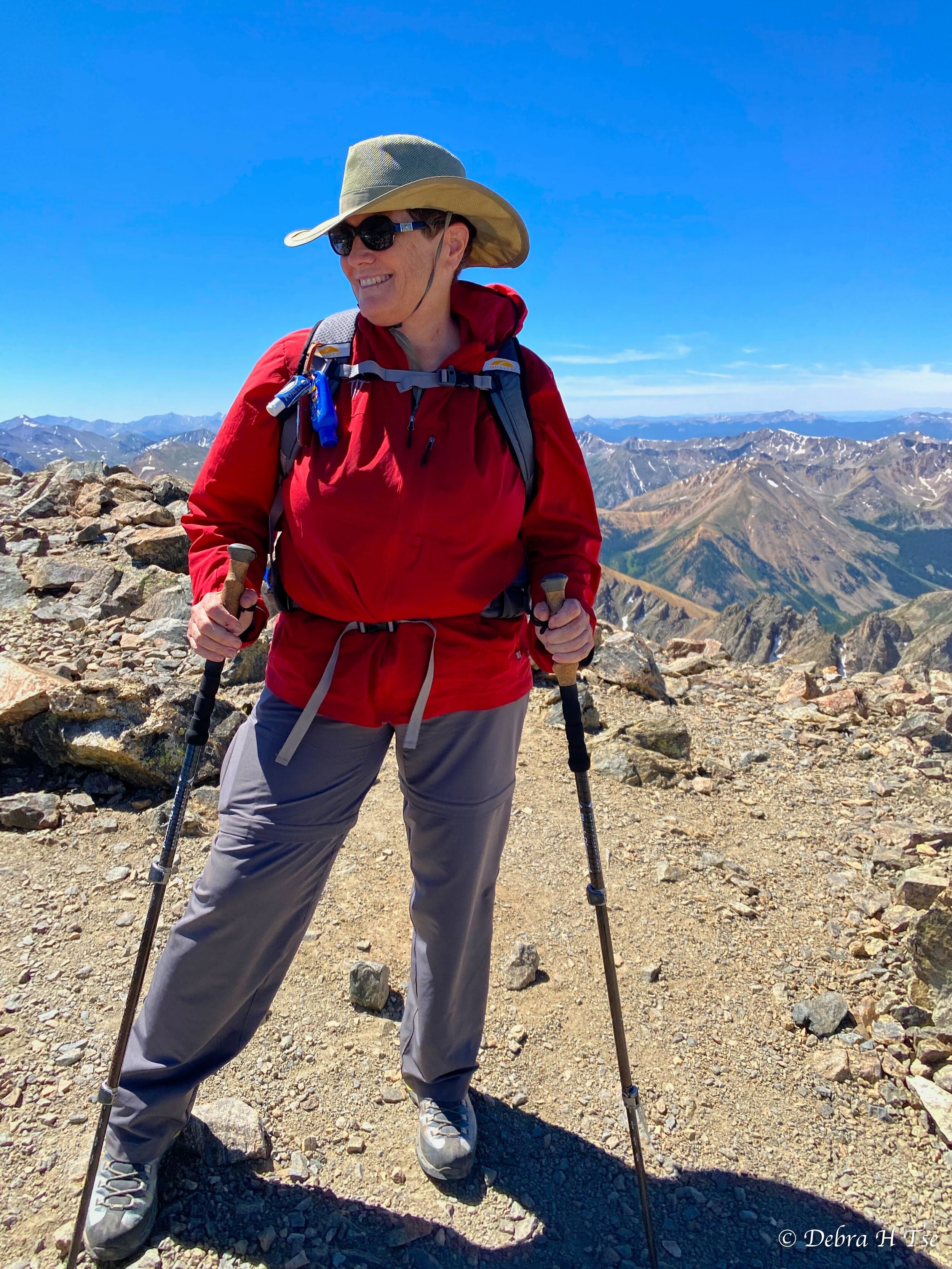
Sunday we woke early and headed to the top of Loveland Pass to do some acclimating along the Continental Divide. The hike from Loveland Pass to Mt Sniktau has become one of our favorite acclimation hikes. It’s high, beautiful, and relatively easy for early in the trip. Matt and I decided to make the day a bit more challenging by traversing along the ridge to Grizzly Peak, which is farther away and requires more time at altitude. Mom and Debra took a more leisurely hike to the top of Mt Sniktau. Both parties summited their mountains around the same time, and we met up for the final descent back to the car.
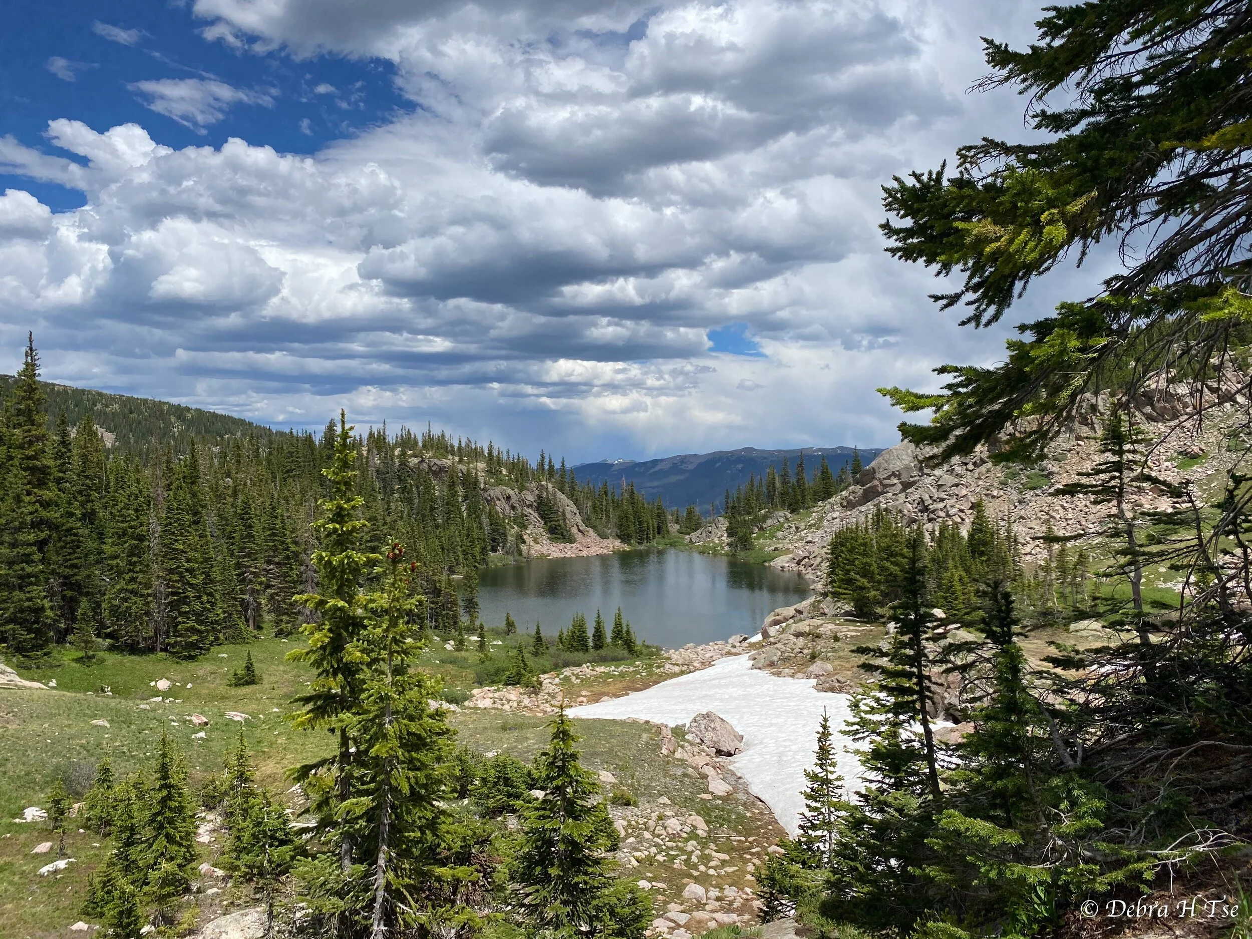
Monday, July 6th - Salmon Lake Approach
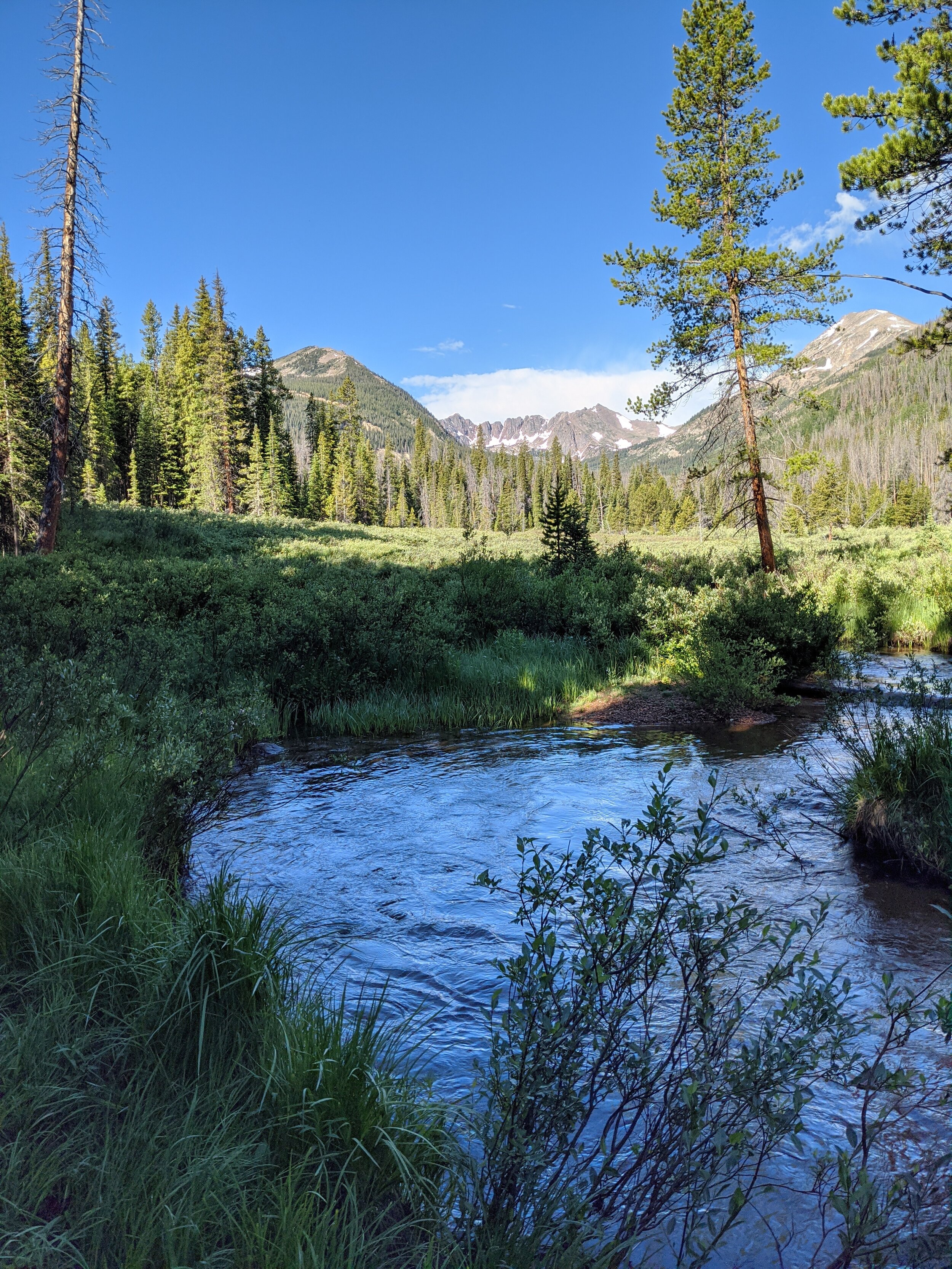
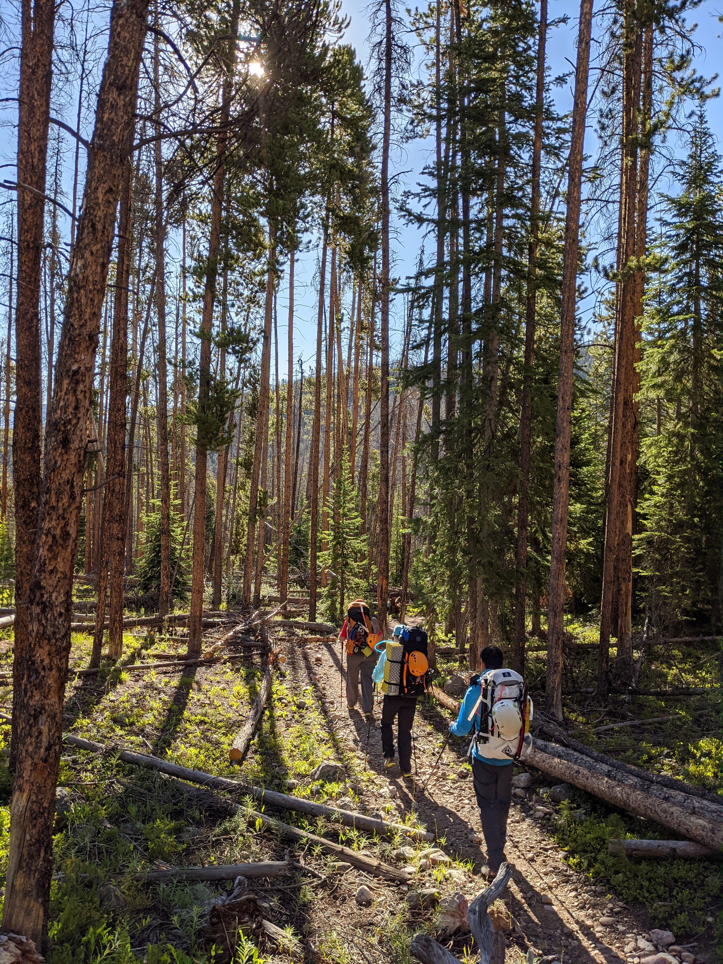
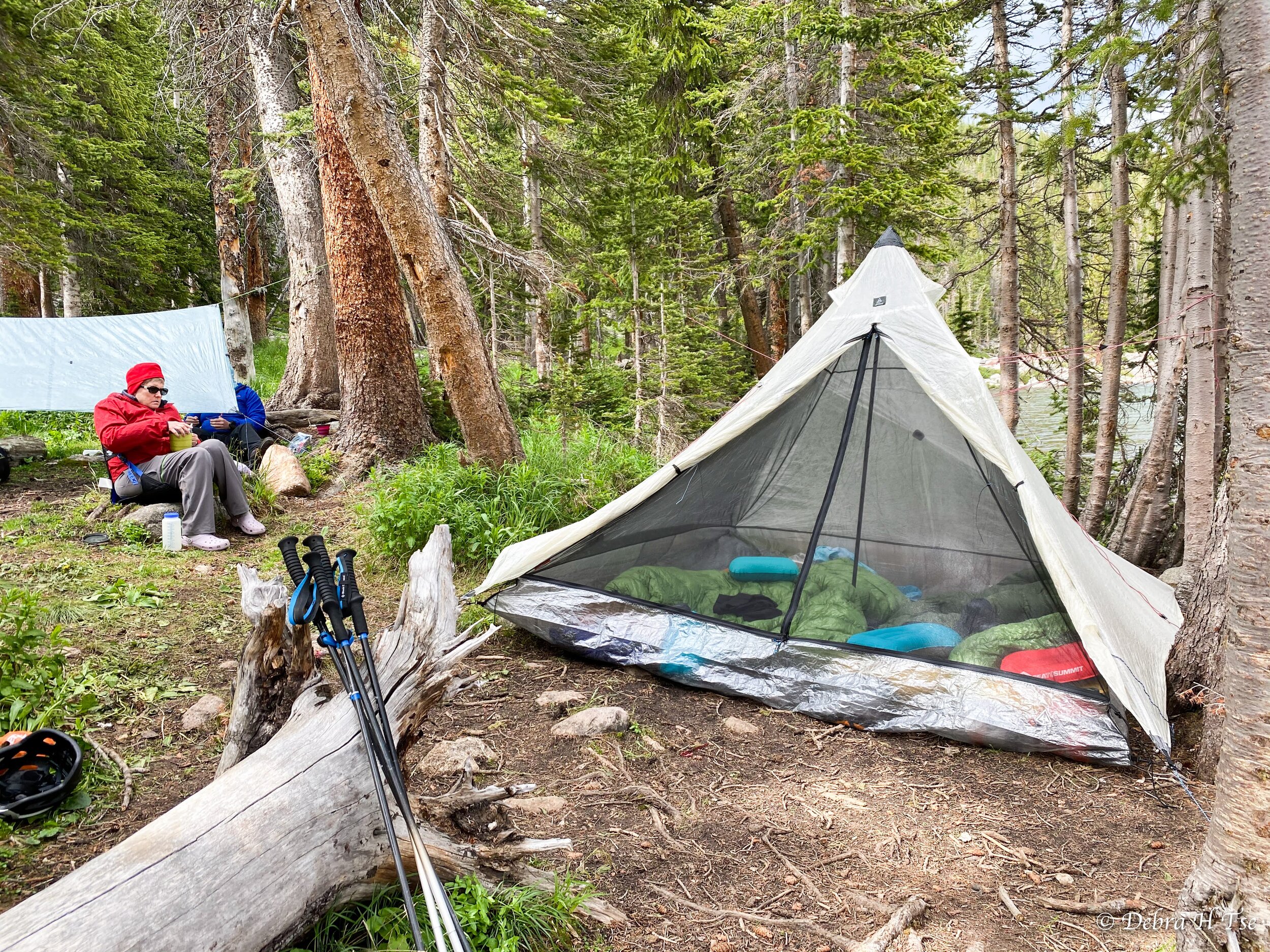
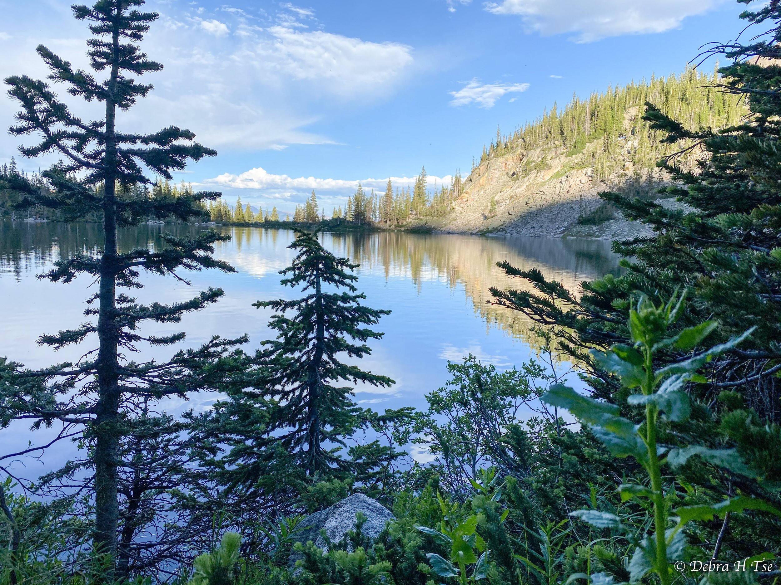
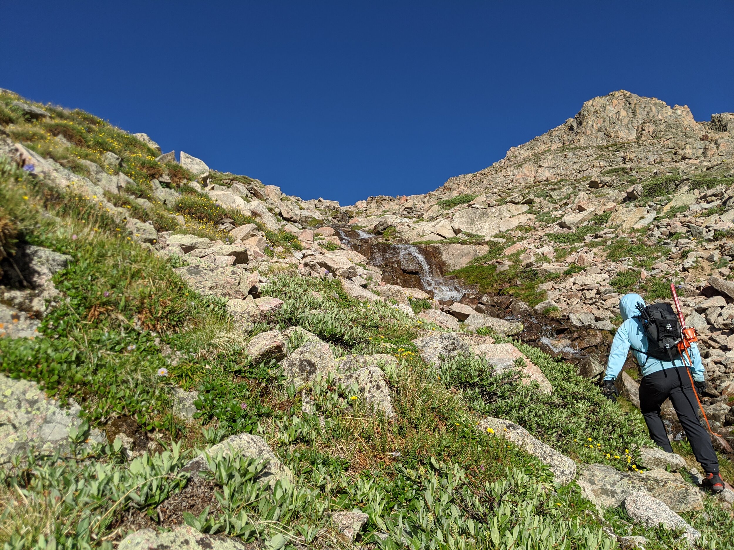
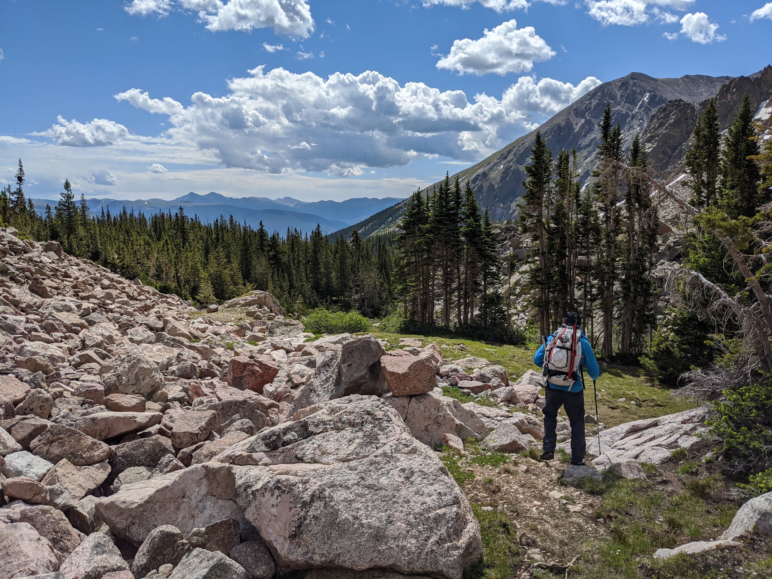
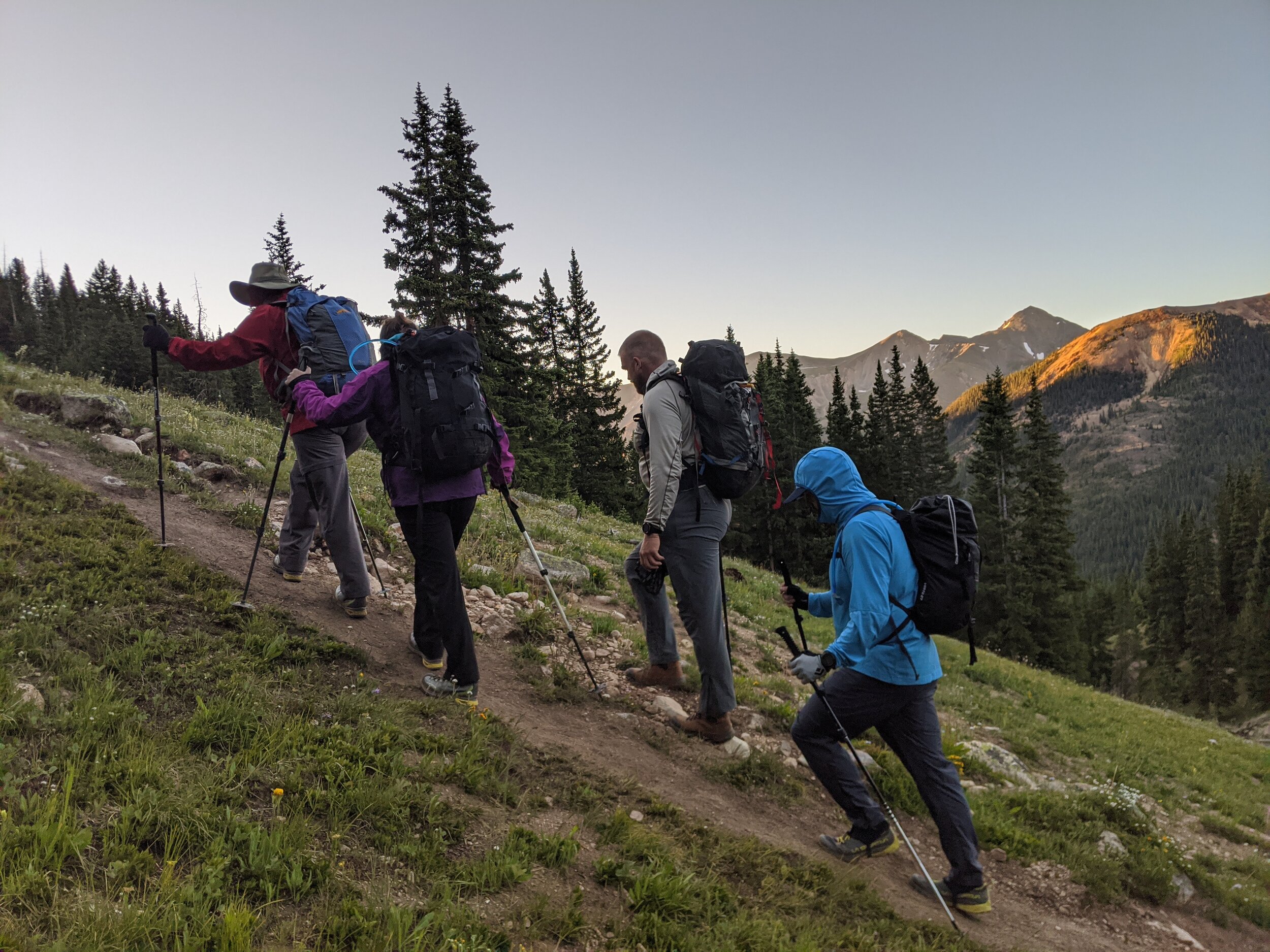
A personal project of mine has been to summit the 20 highest peaks in the Gore Range. The range is rugged, wild, and close to our house. Most of the mountains are trail-less, and see few ascents each year. To that end, we decided on a three day backpacking trip to Salmon Lake with the objective of climbing Mt Silverthorne (13,357’). The East side of the Gores is pretty remote, and there are only a handful of trailheads. Most of those trailheads gain the Gore Range Trail, a 45 mile thru-trail that runs N-S for the length of the Gores. We hiked along the Gore Range Trail for about 6 miles before turning west and climbing to Salmon Lake. The Gore Range Trail is very pleasant, well maintained, and lightly traveled.
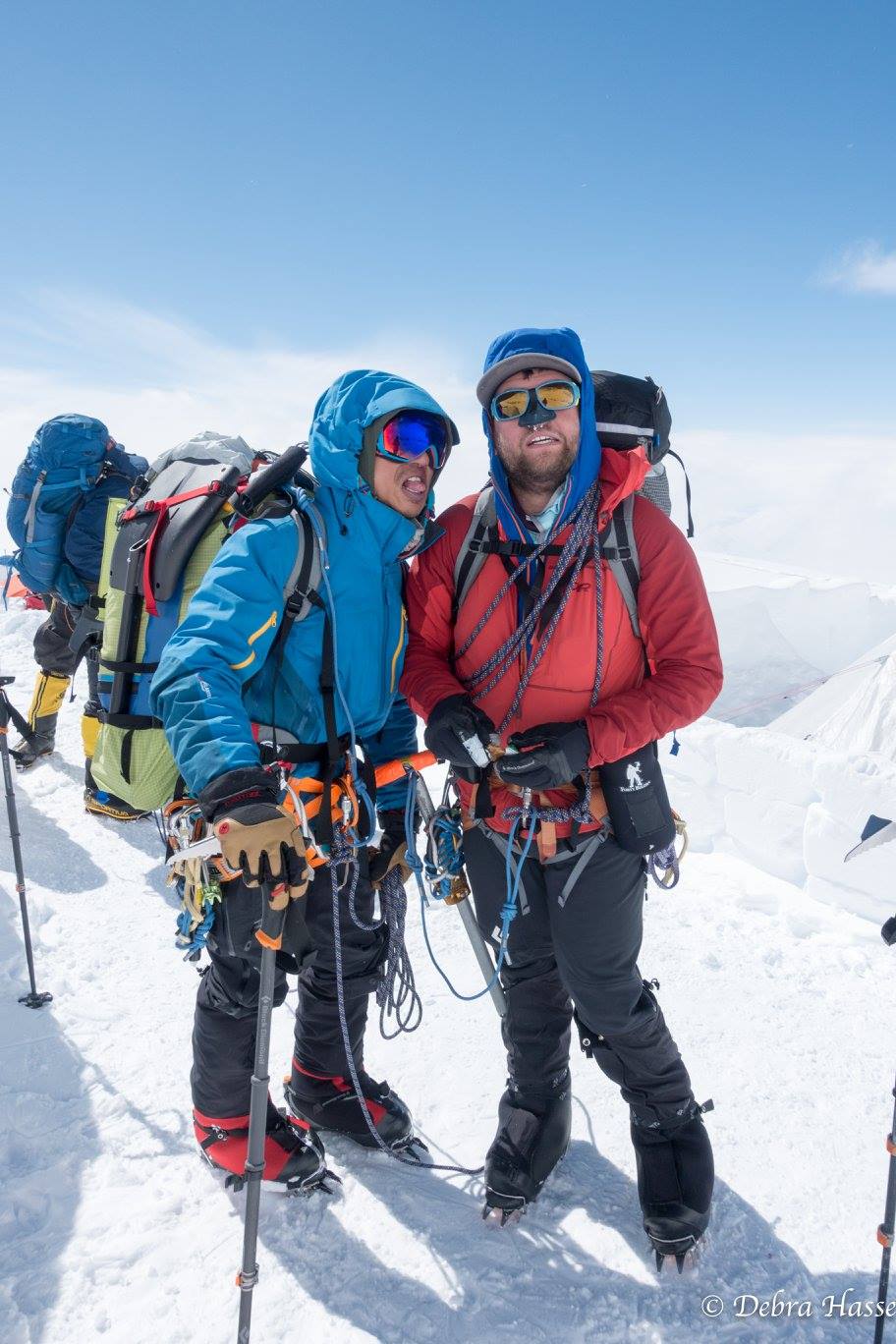
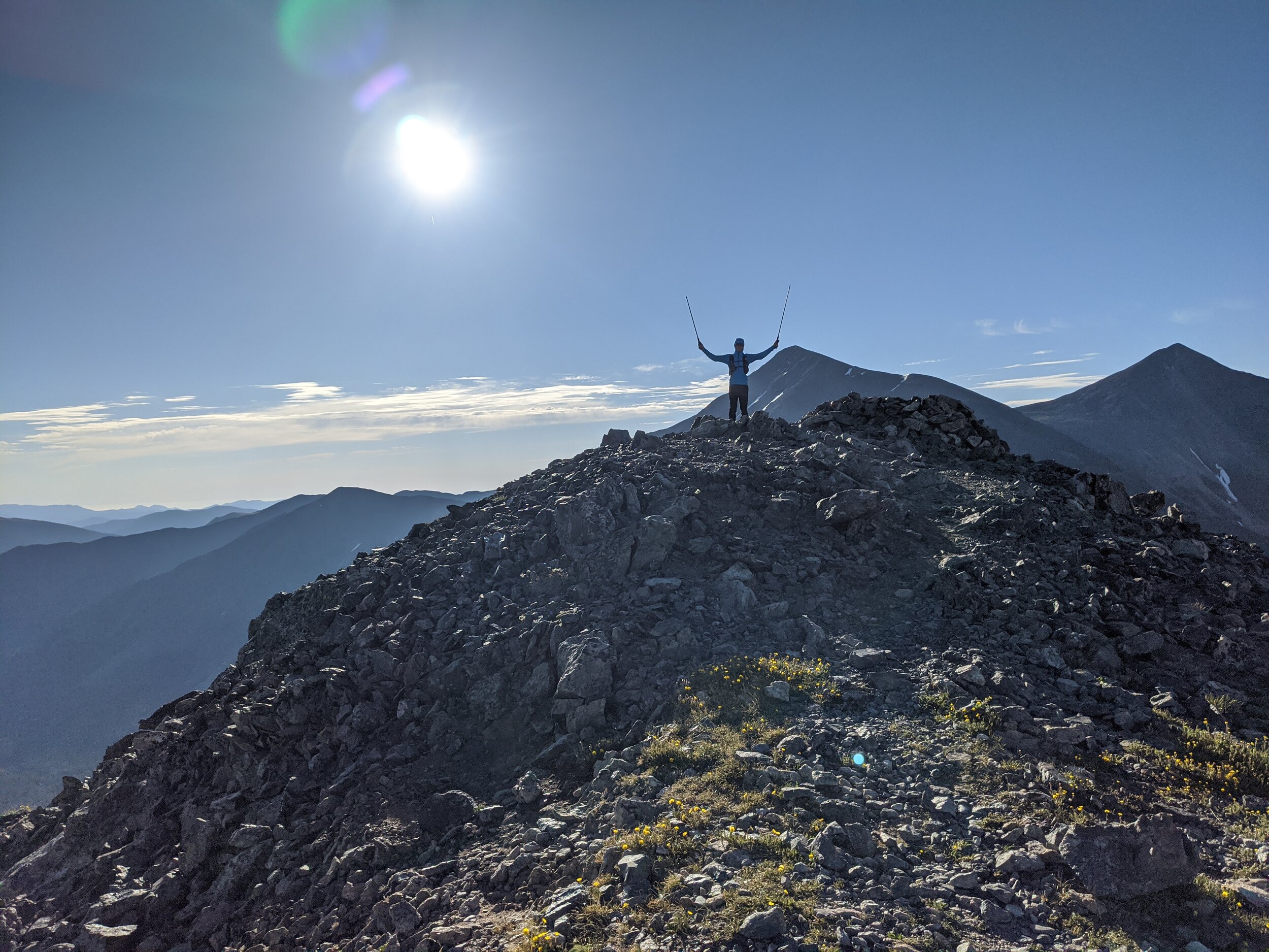
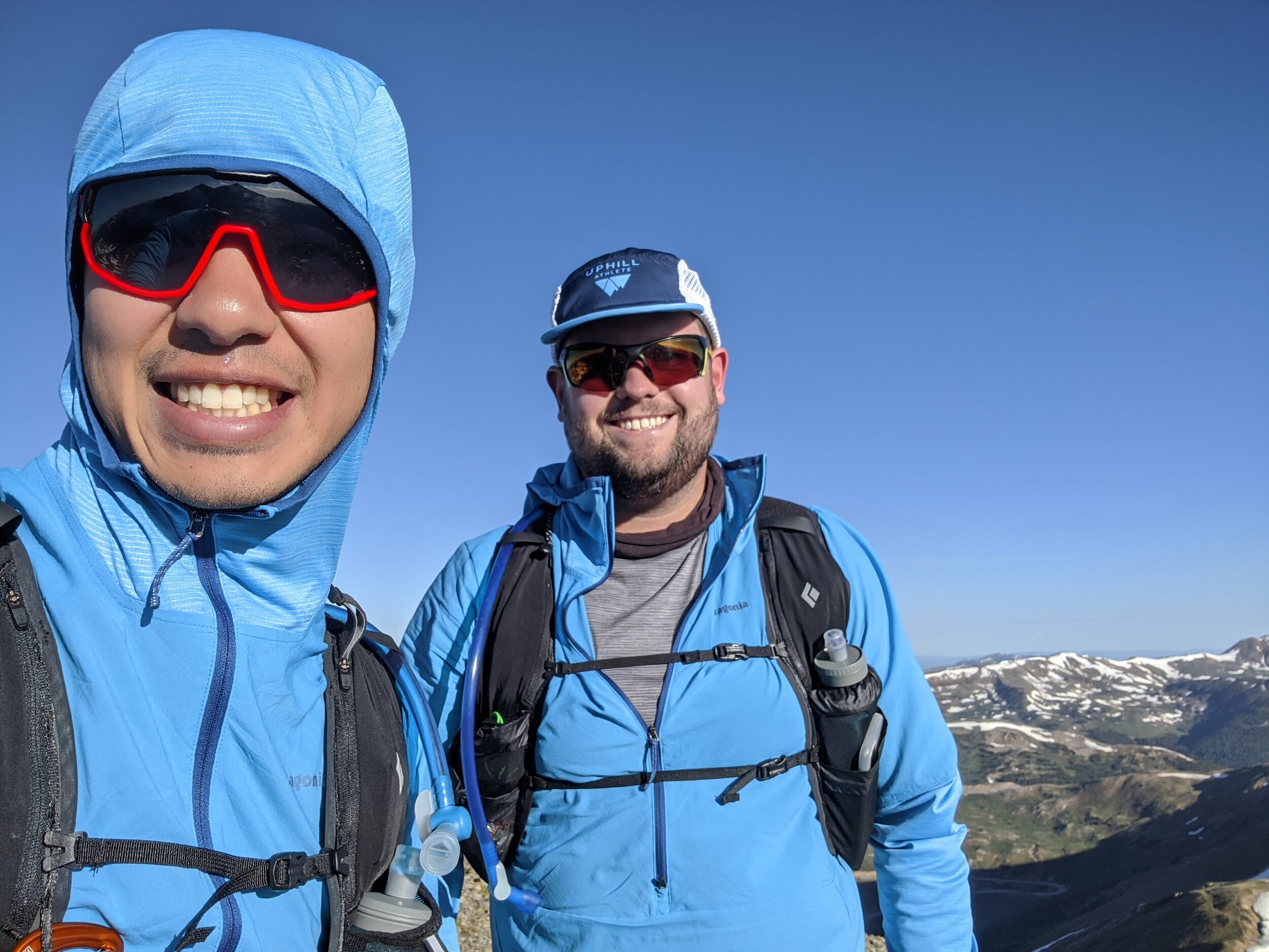
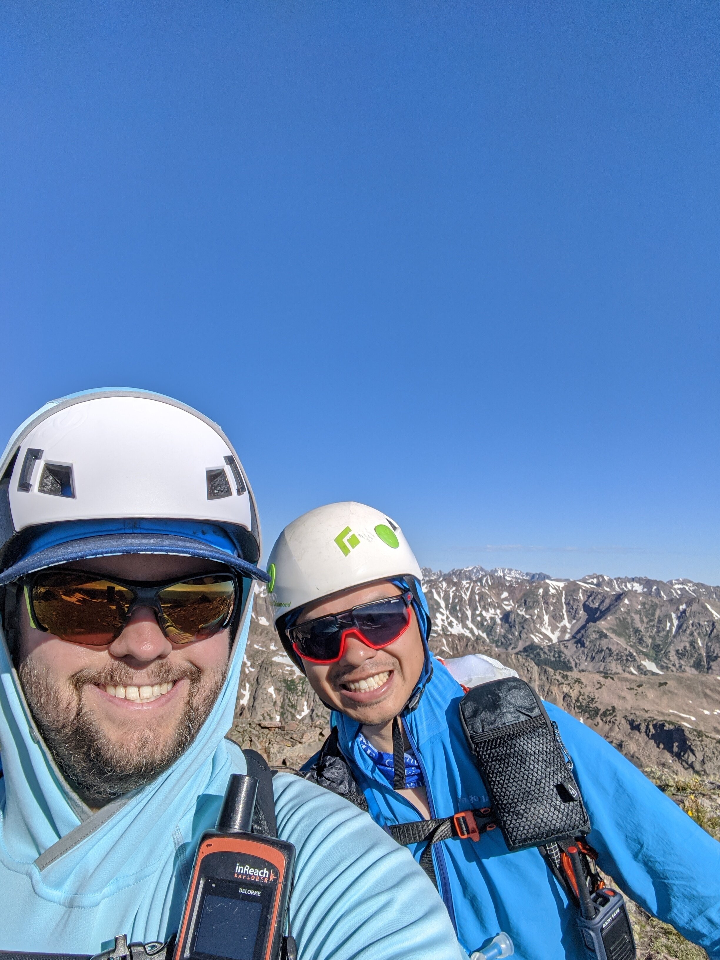
Tuesday, July 7th - Mt Silverthorne (13,357’)
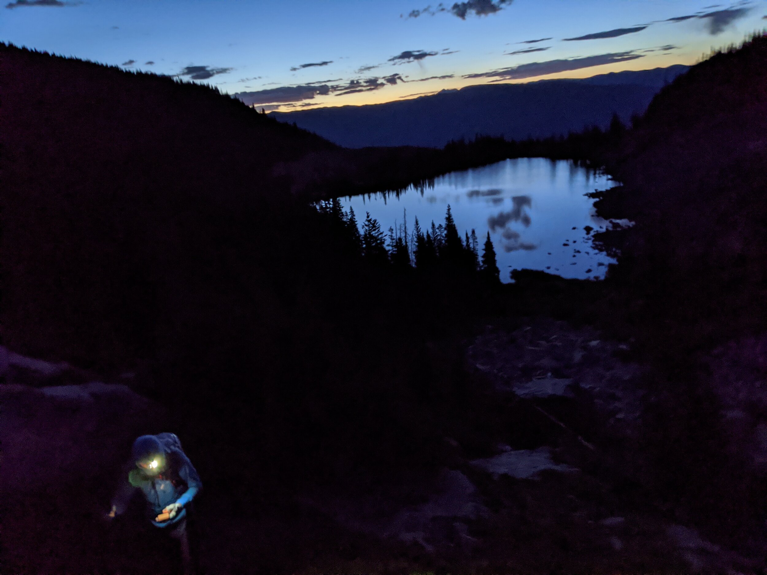
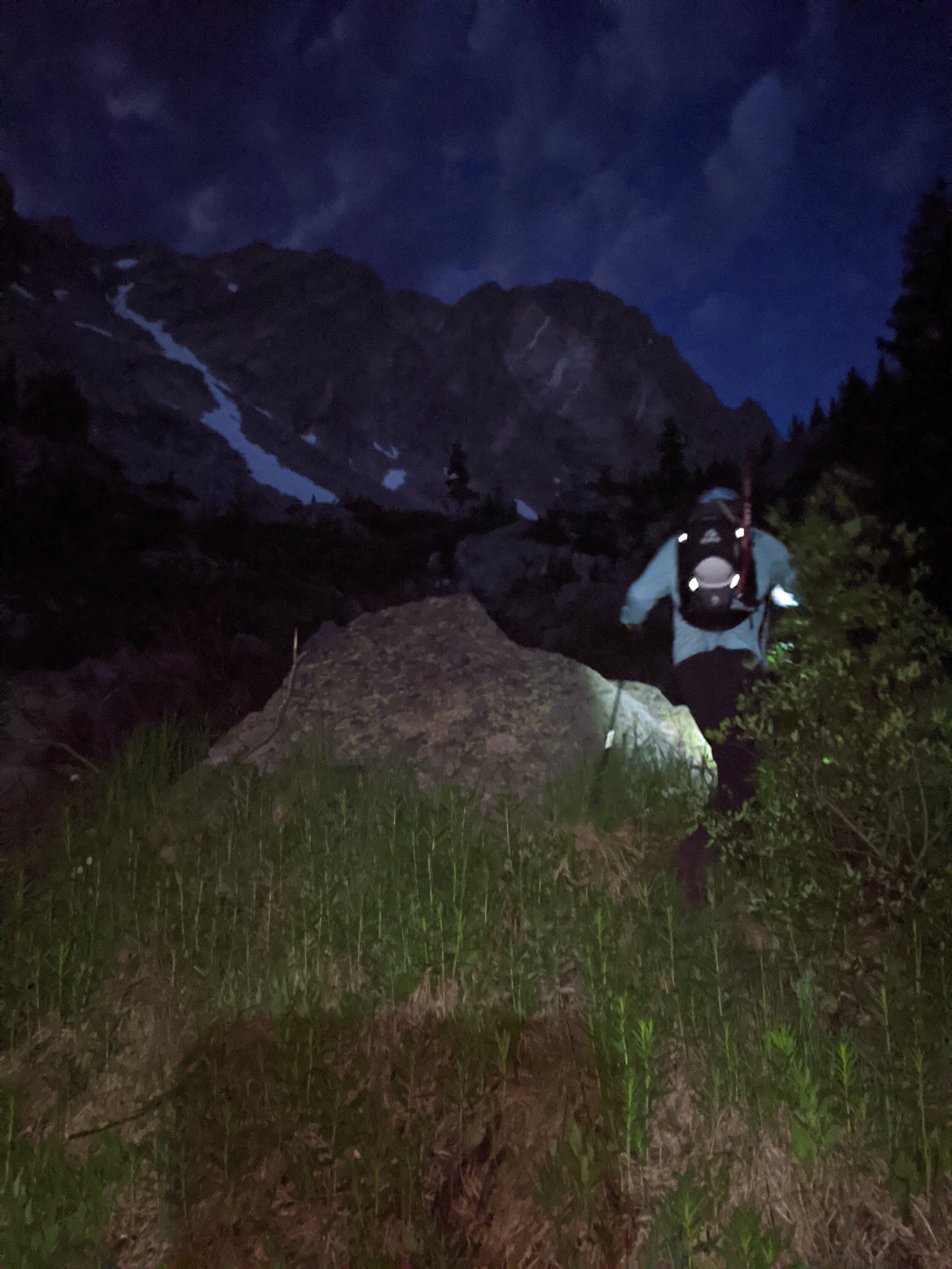
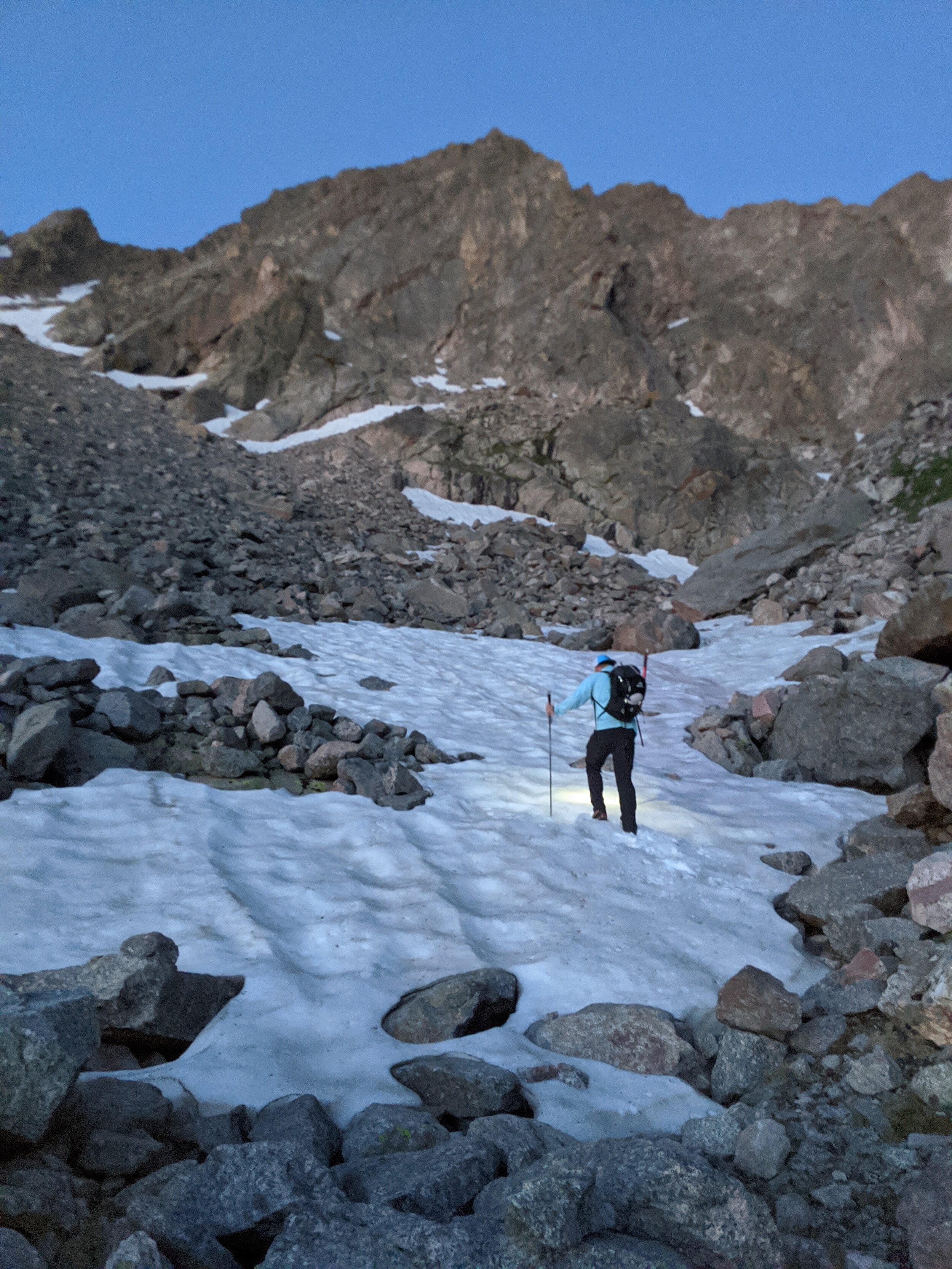
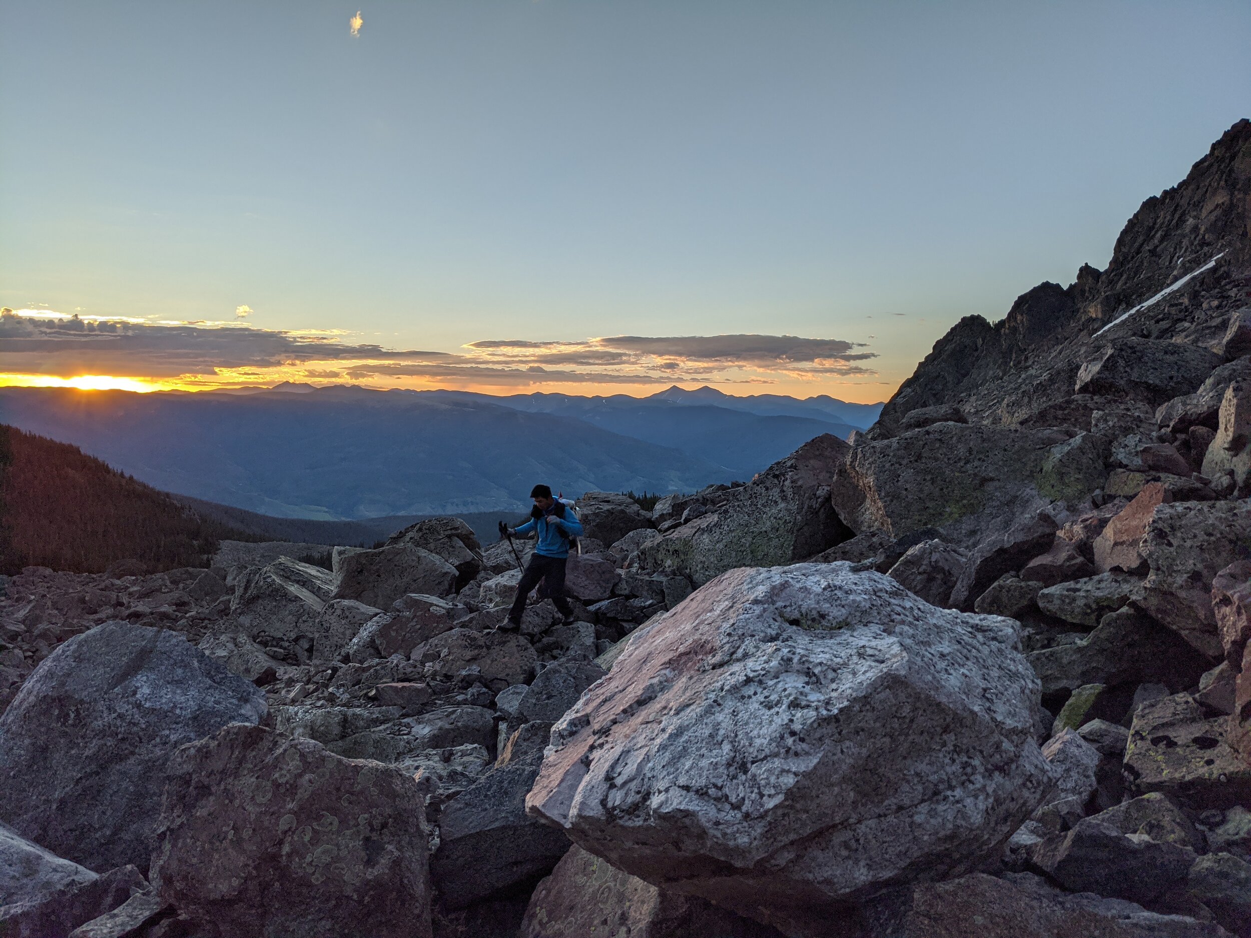
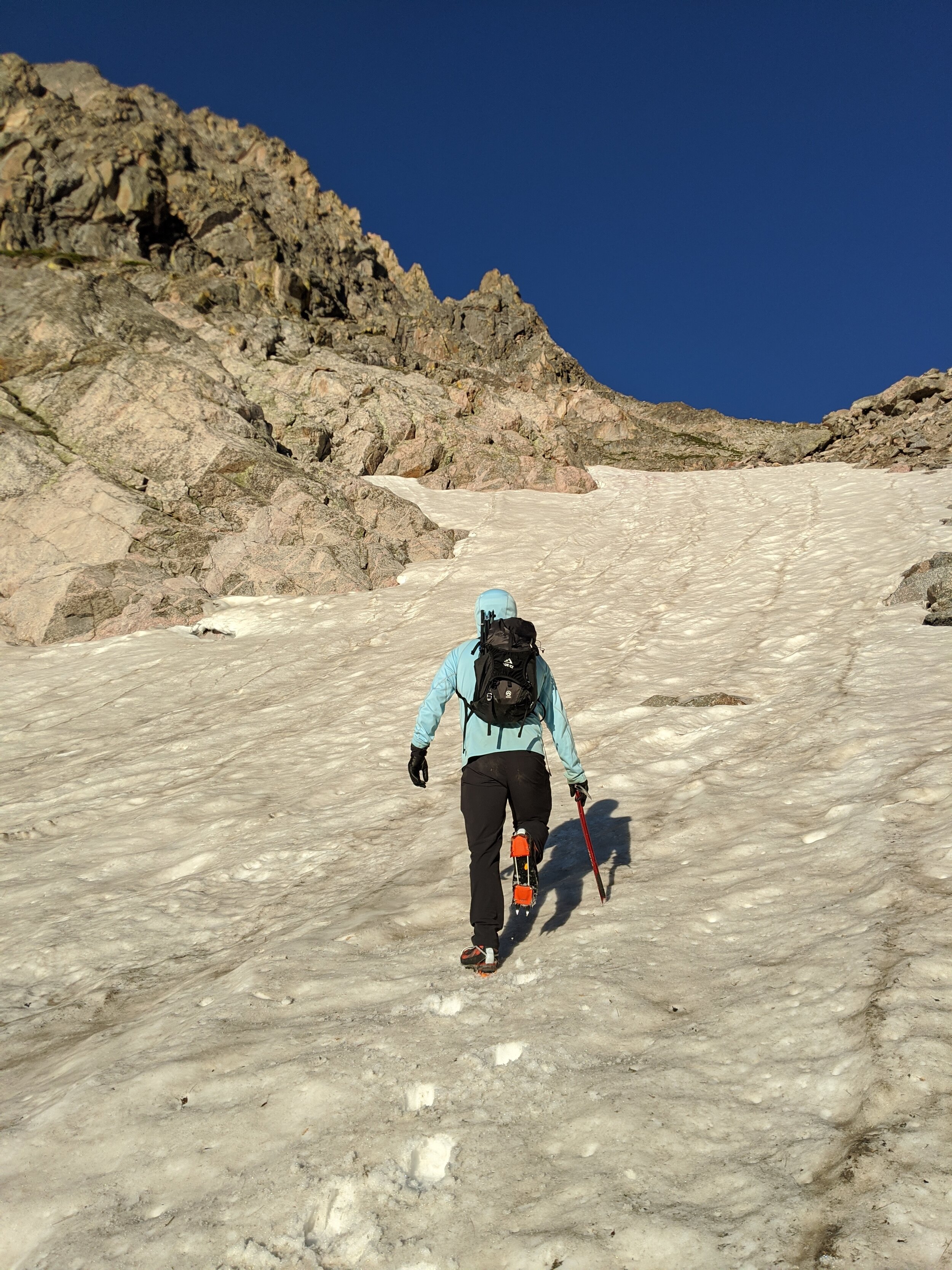
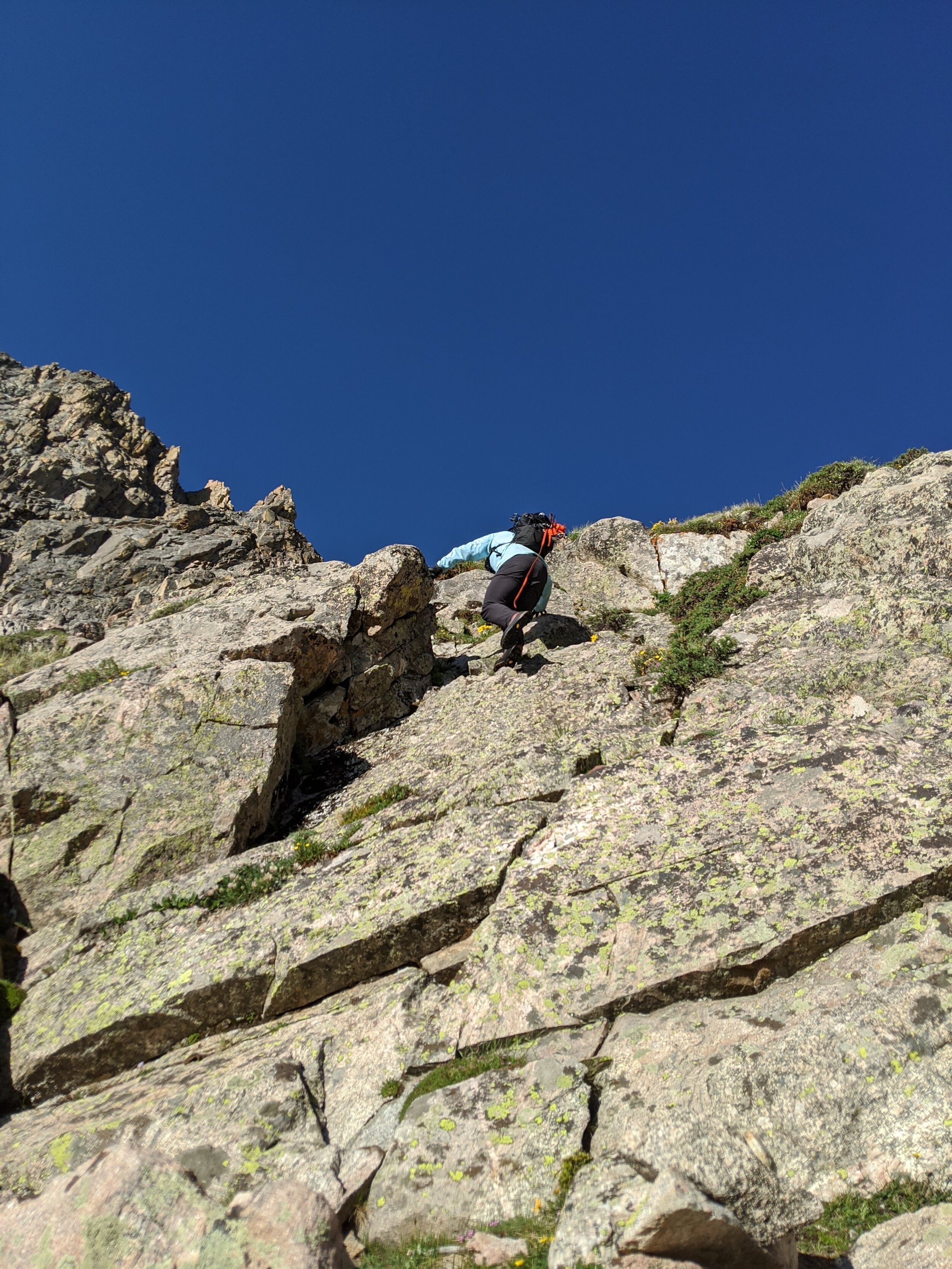
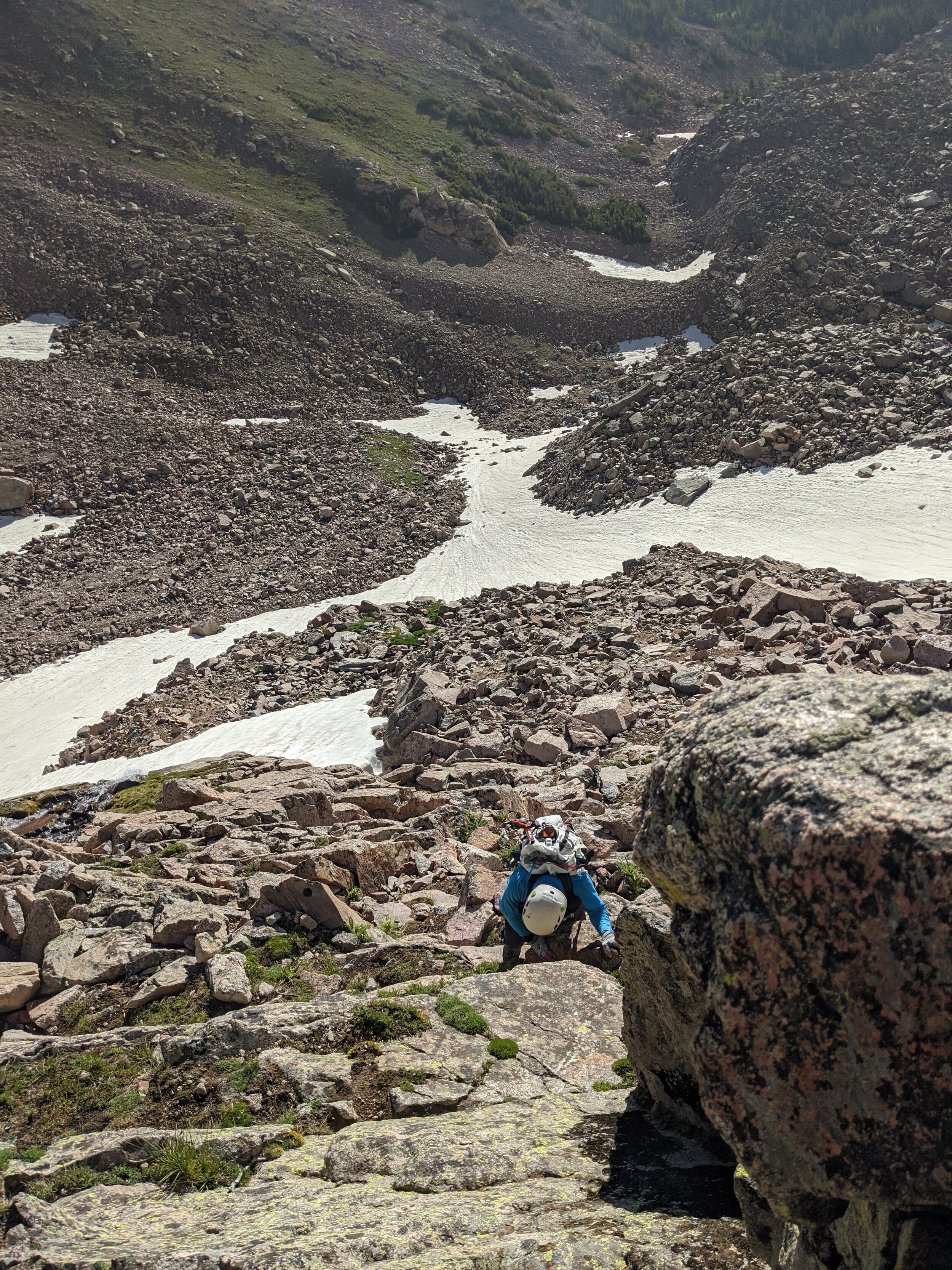
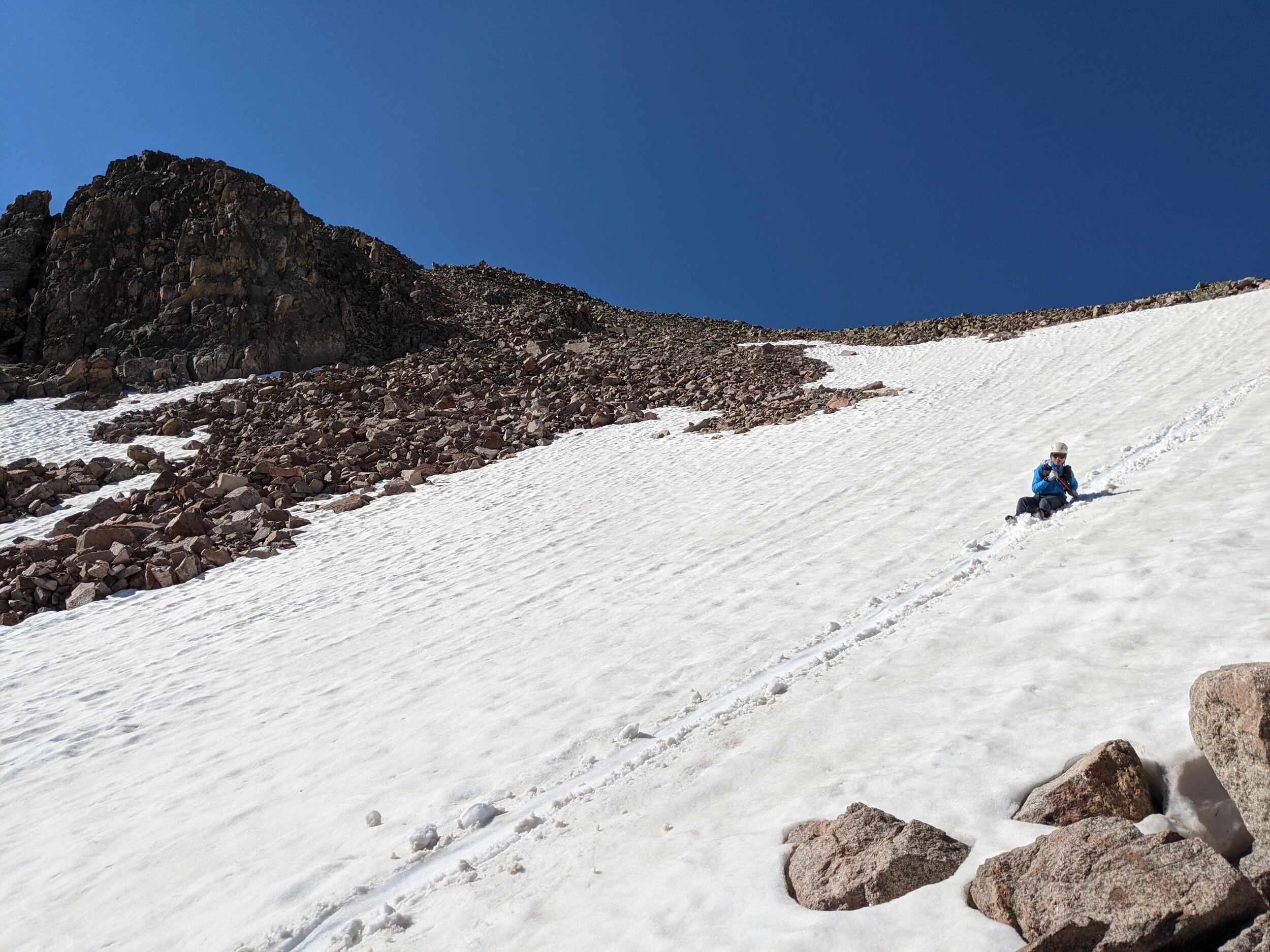
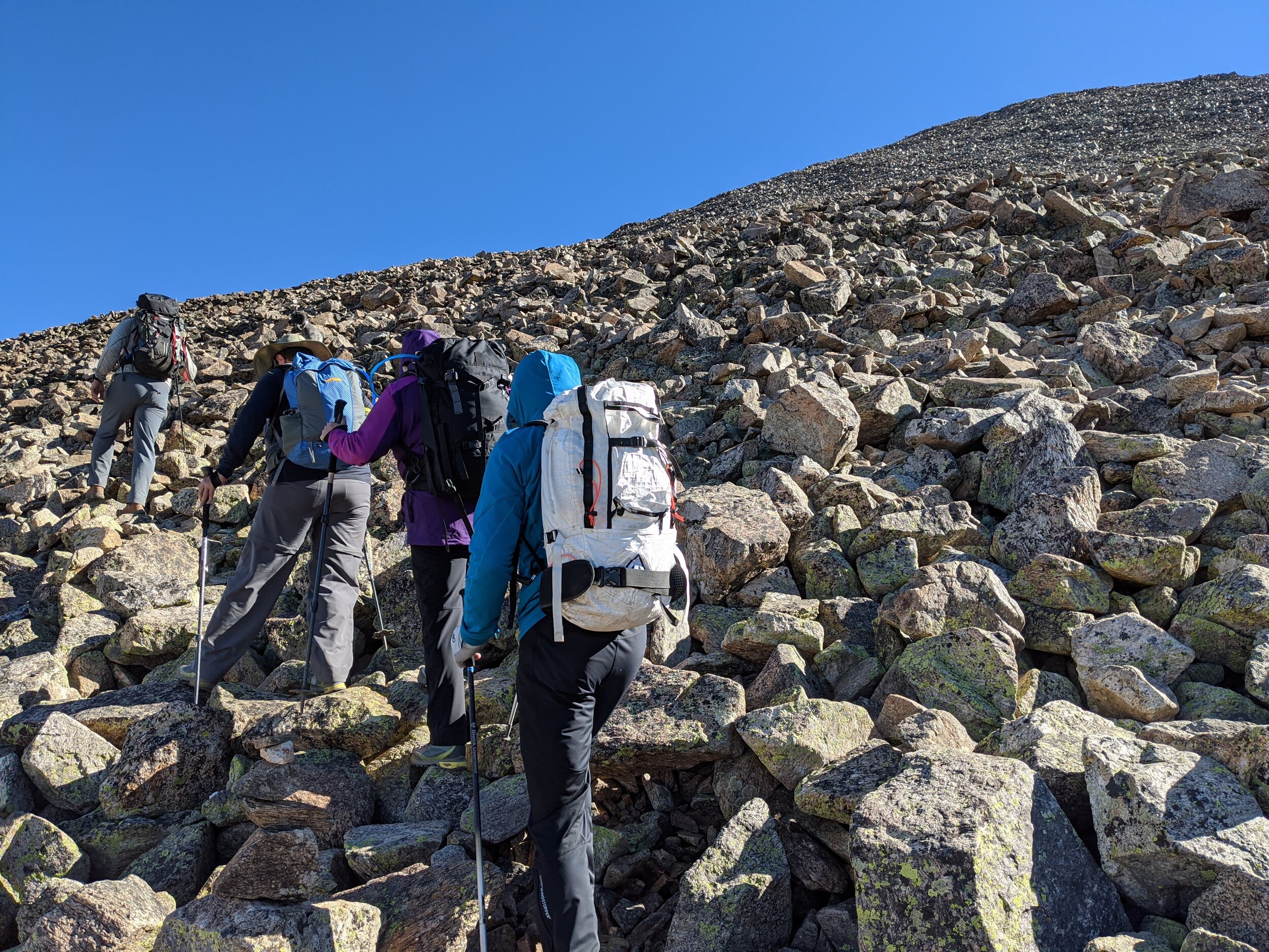
Mom and Debra decided to stay in camp on Tuesday, so Matt and I woke up early for a near-dawn start on Mt Silverthorne. As Gore Range summits go, Mt Silverthorne is pretty straightforward. Nevertheless, the routefinding still proved to be the crux. We climbed west from Salmon Lake in the pre-dawn hours and bypassed a waterfall by scrambling through some class 3 moves to gain the upper basin beneath East Thorne. Here we encountered a massive talus field between us and the headwall on Mt Silverthorne. We stayed to the south side of the basin and picked our way through the talus to gain a snowfield, which terminated about half way up the headwall. We climbed the snowfield with crampons and ice axes and then transitioned back to climb the rest of the headwall on 4th class grassy ledges. The headwall is followed by expansive easy slopes to the summit.
On the summit, we debated traversing over to tag East Thorne as well. East Thorne is an unranked Gore 13er (its summit is too close to Mt Silverthorne to count as separate). Neither of us were feeling particularly eager, and we still had a tricky descent ahead of us. We opted to go straight down. Luckily, we had some great snow conditions for glissading the upper slopes and we managed to find an easier route down through the headwall. Another glissade brought us back to the talus field, where we spied an easier route back to camp. Everything is easier in the daylight.
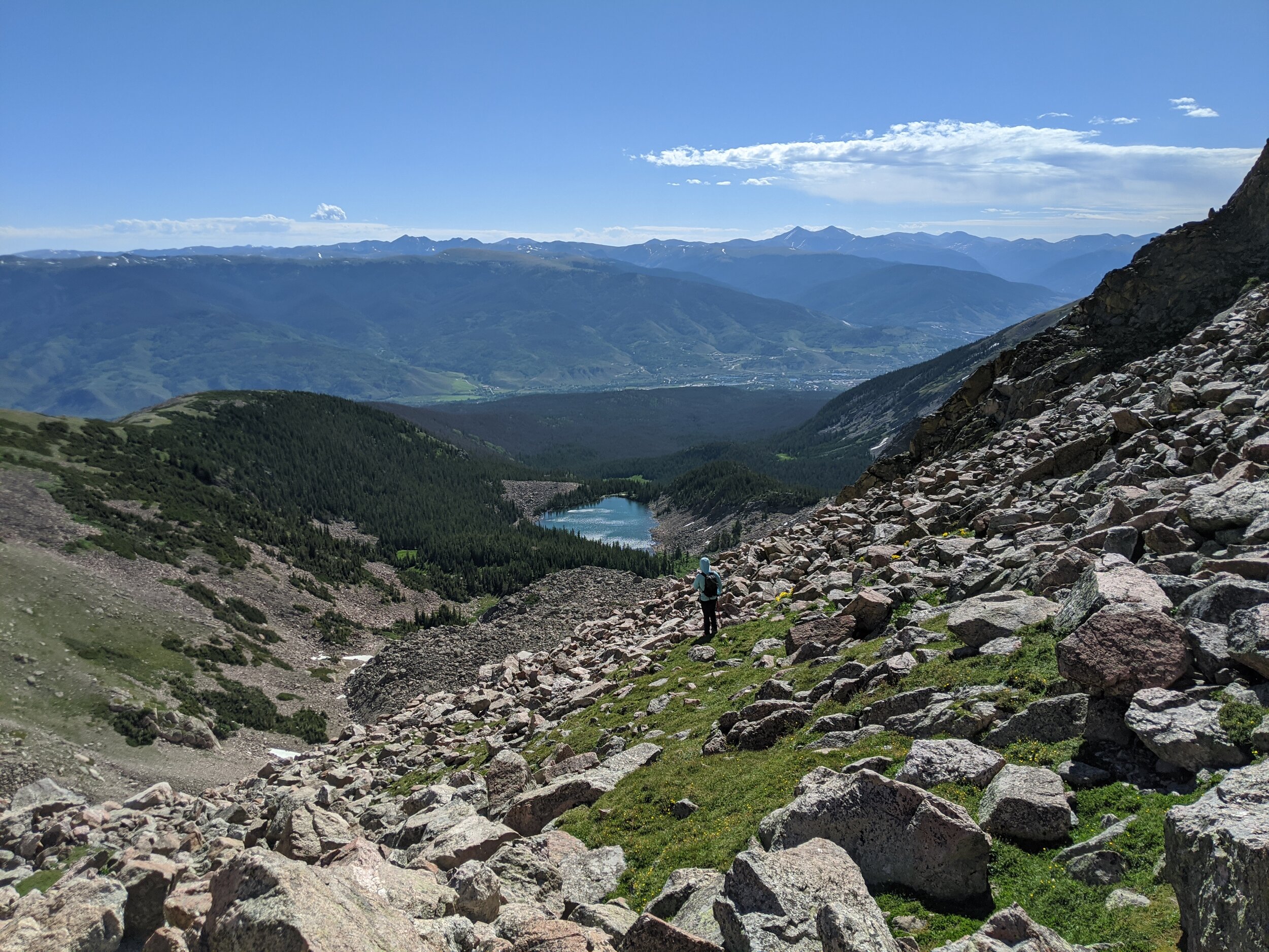
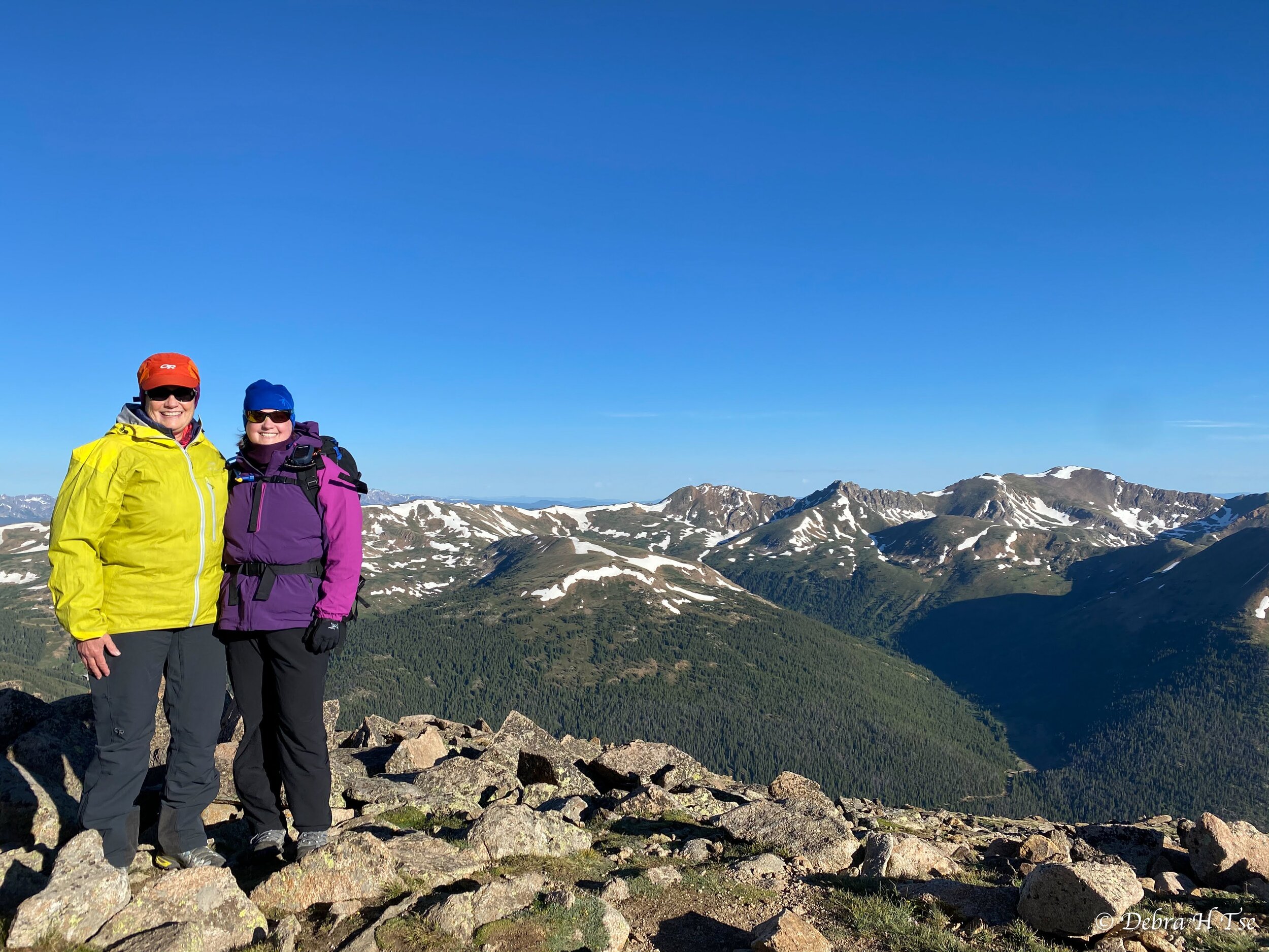
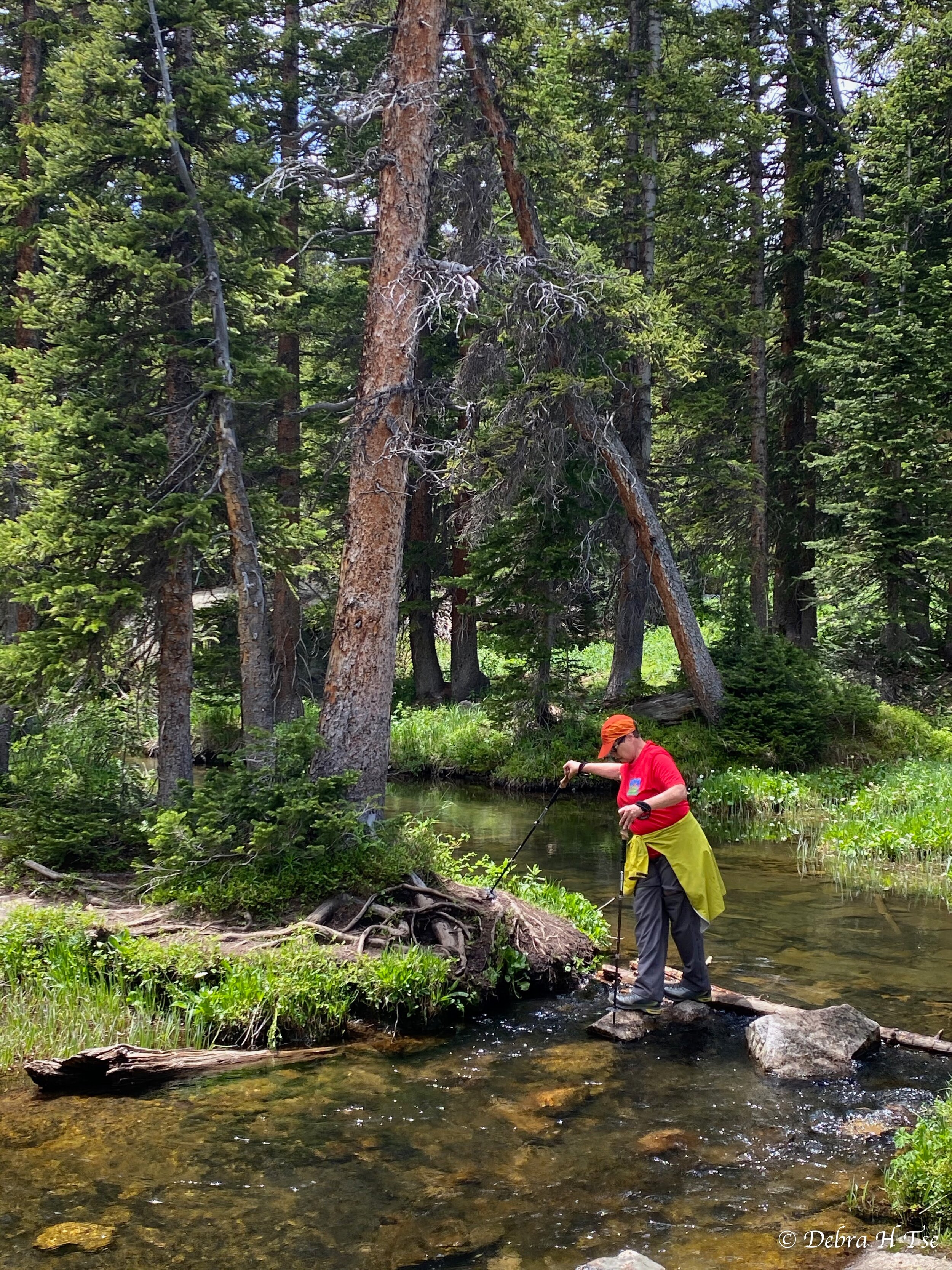
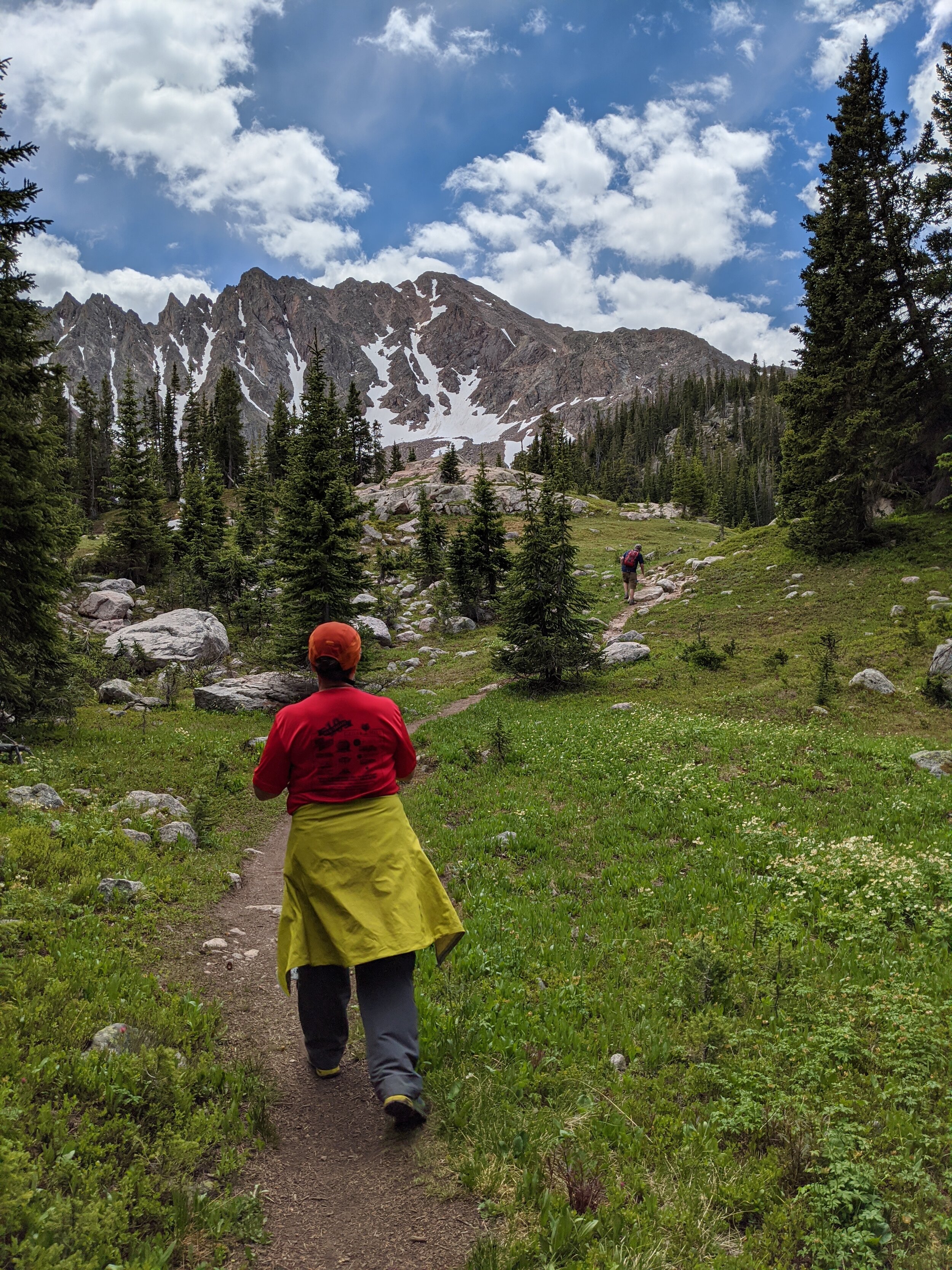
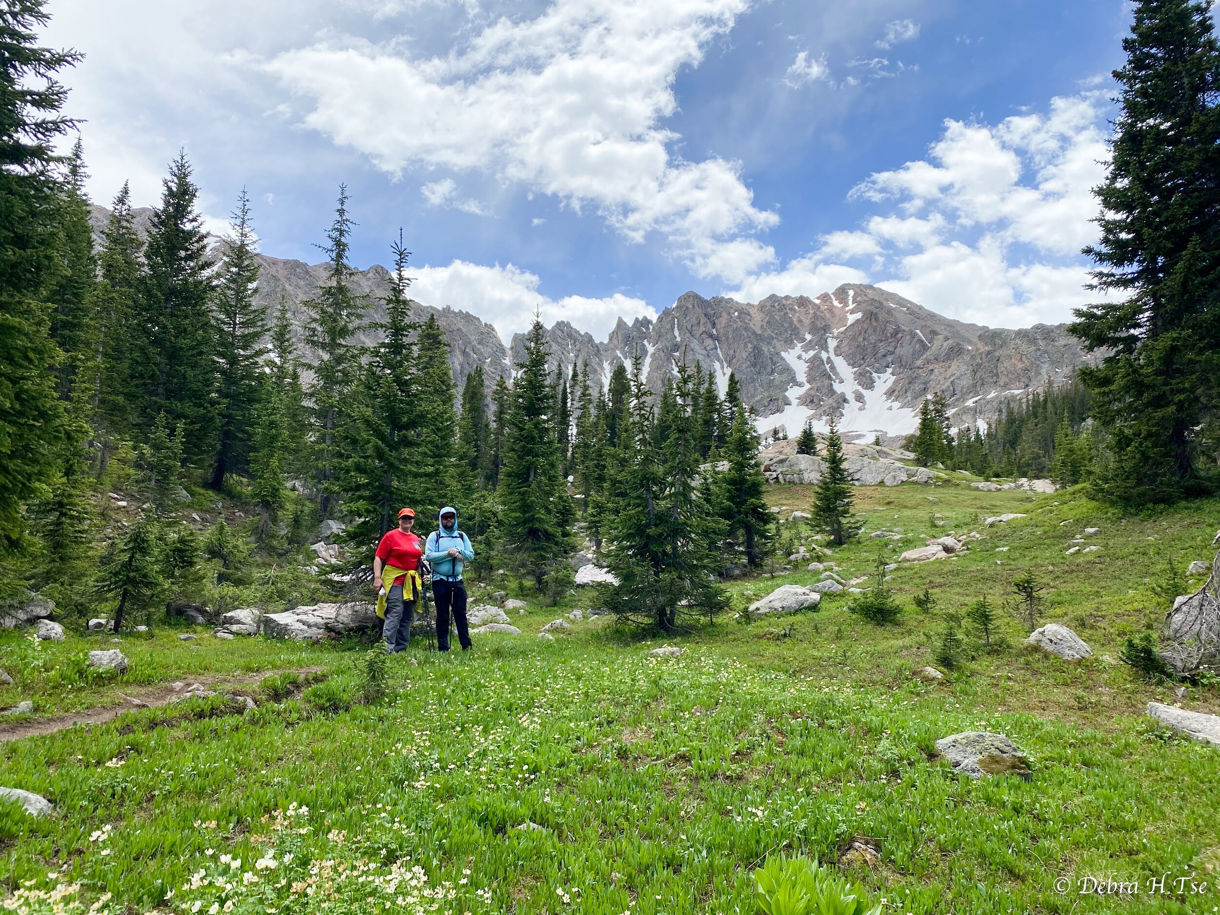
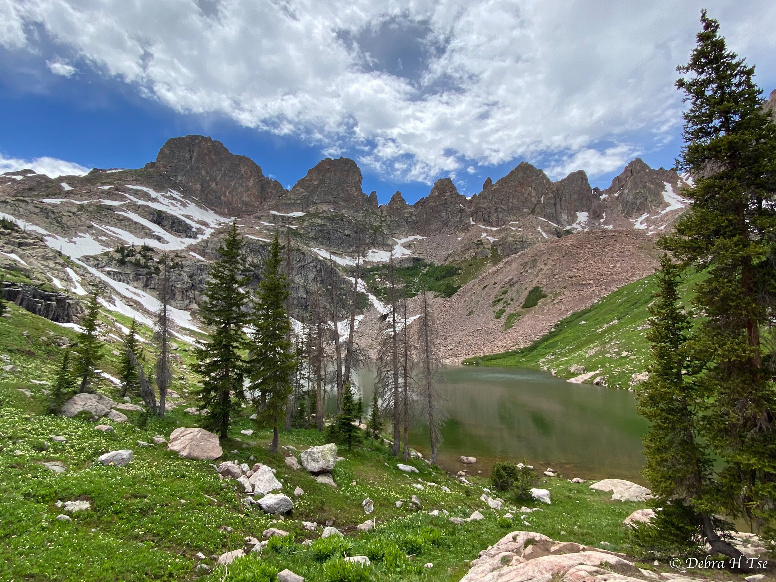
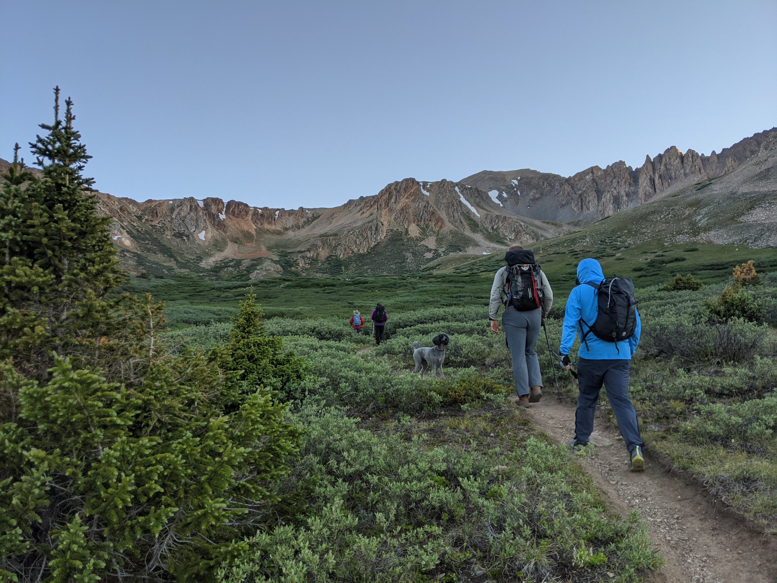
We returned to camp by late morning. Debra and Mom were interested in hiking over to Willow Lakes, a popular destination in the next basin South. We rested and ate a bit of food, and then I joined them on the hike.
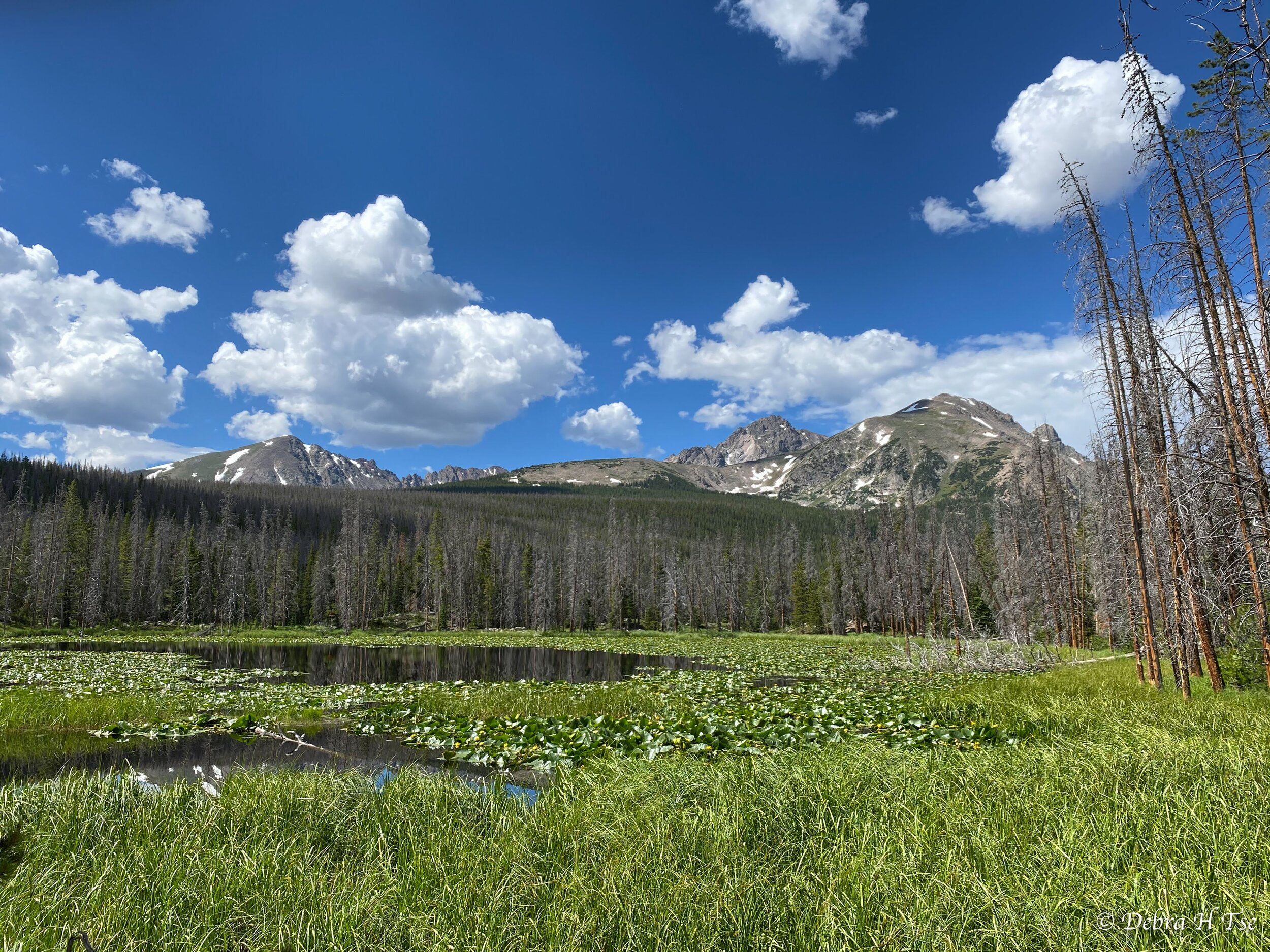
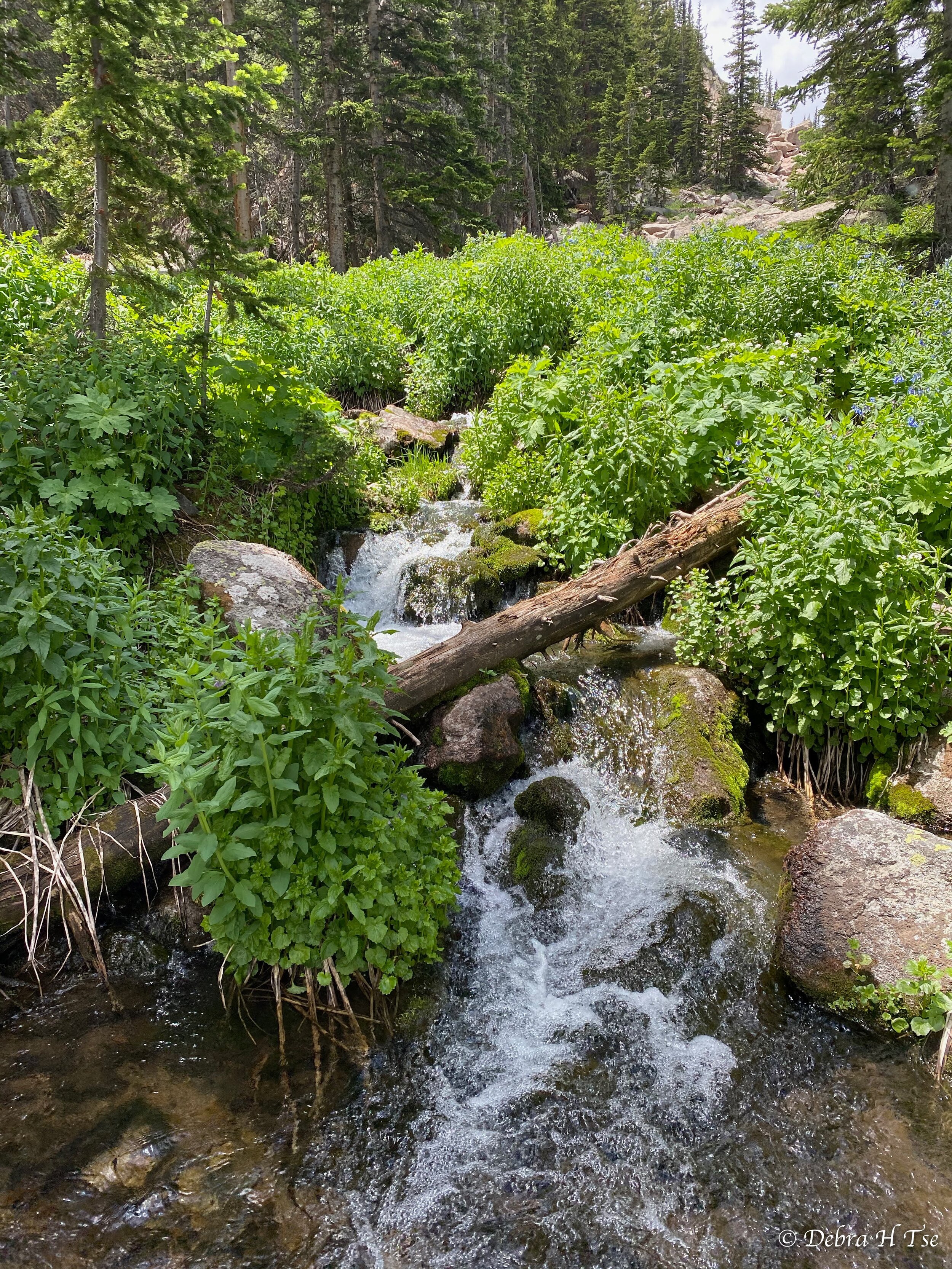
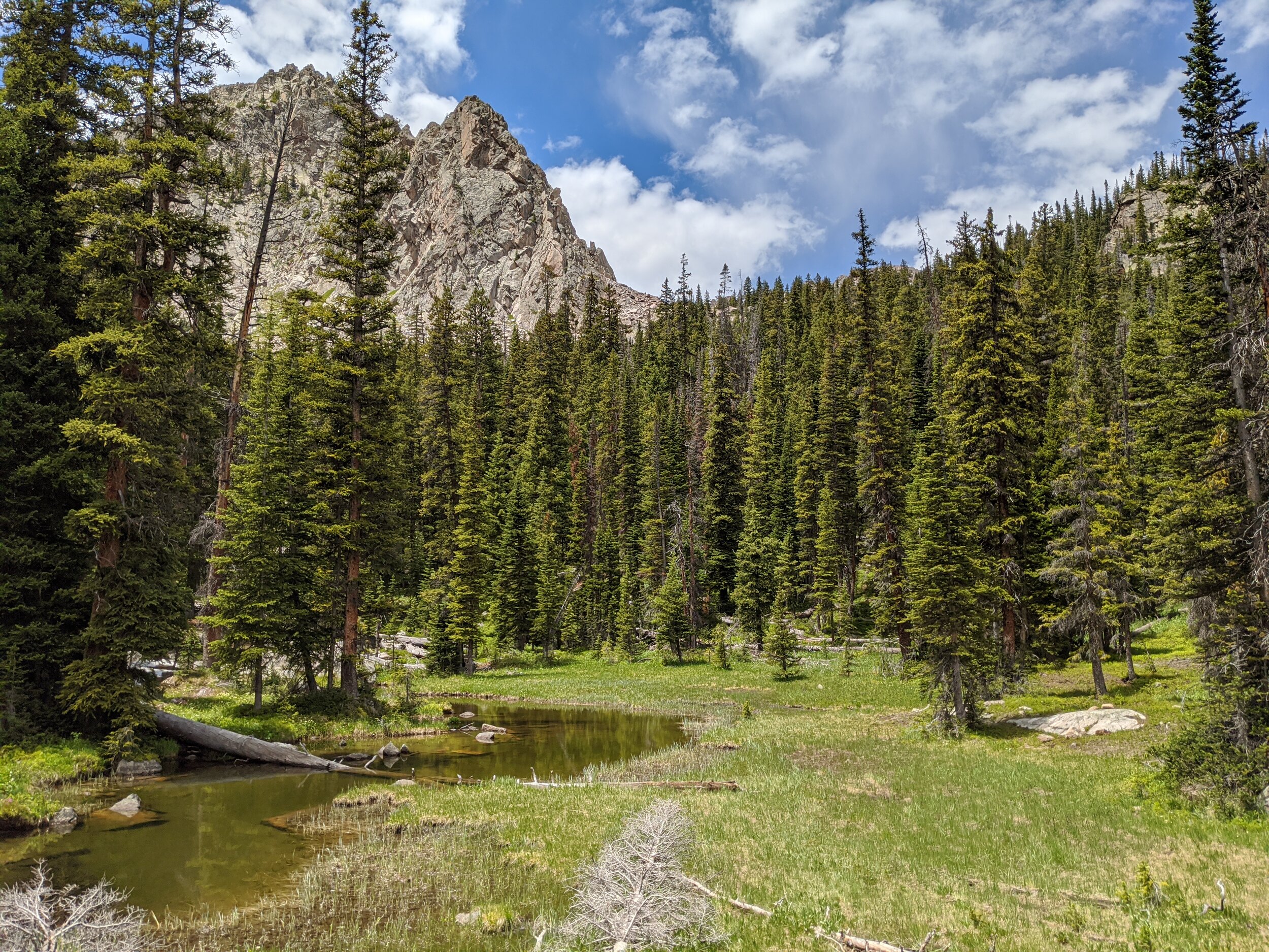
In my opinion, Willow Lakes is one of the prettiest basins in Colorado. The massive Red Peak (13,136’, a ranked 13er) forms the southern wall of the basin. The rugged East Thorne forms the northern wall, and the spectacular Zodiac Ridge sits at the head. The hike was leisurely and nice, a perfect cool down after climbing Mt Silverthorne earlier in the day. We hung around at upper Willow Lake for a little while, and then decided to return to camp before the afternoon thunderstorms arrived.
Wednesday-Thursday, July 8th and 9th - Hike Out
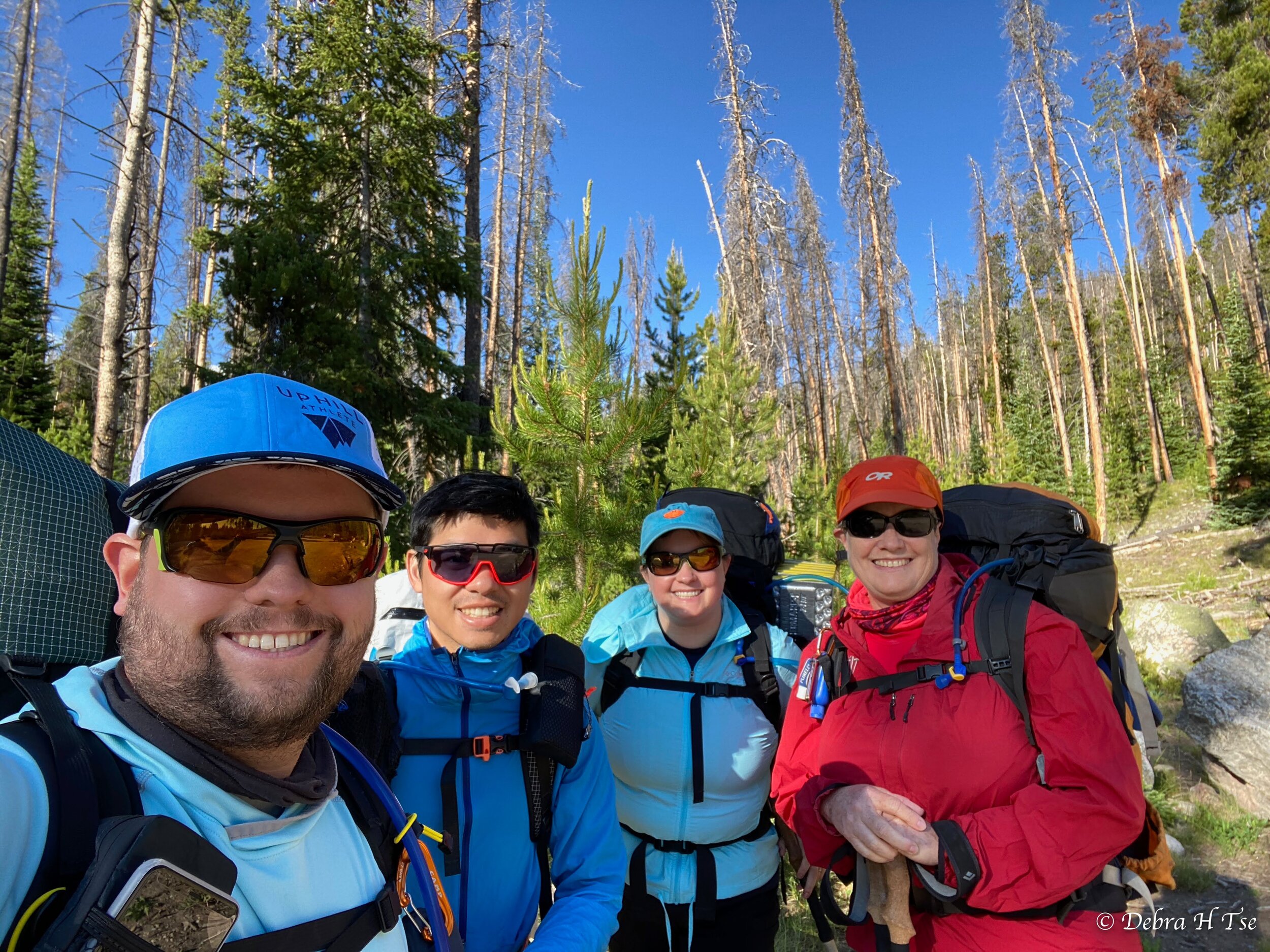
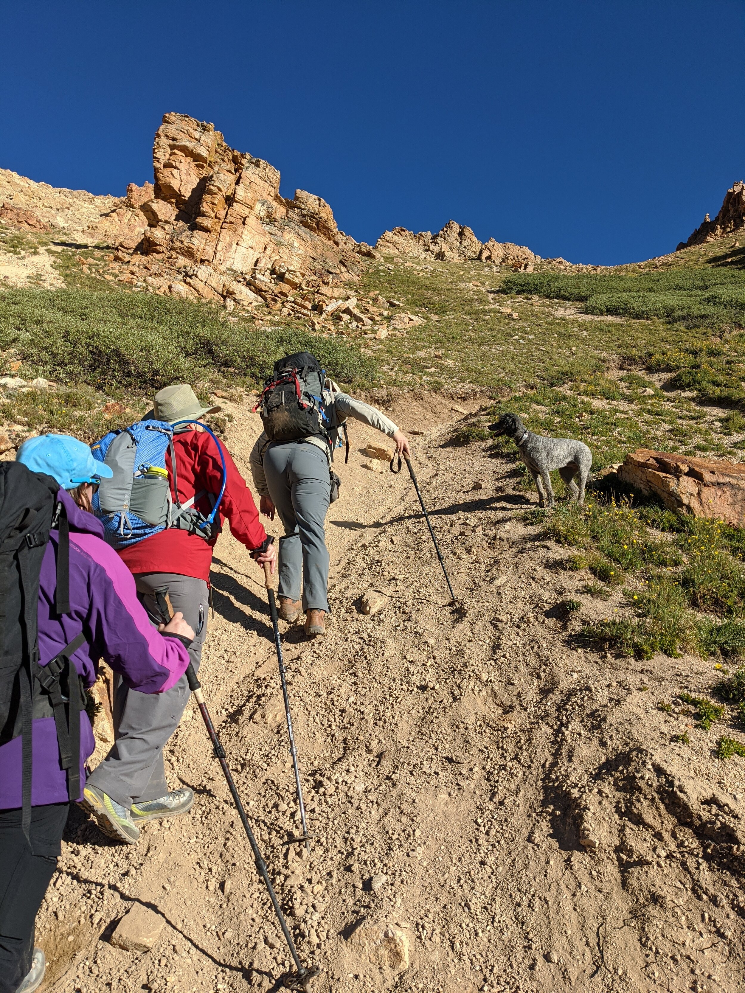
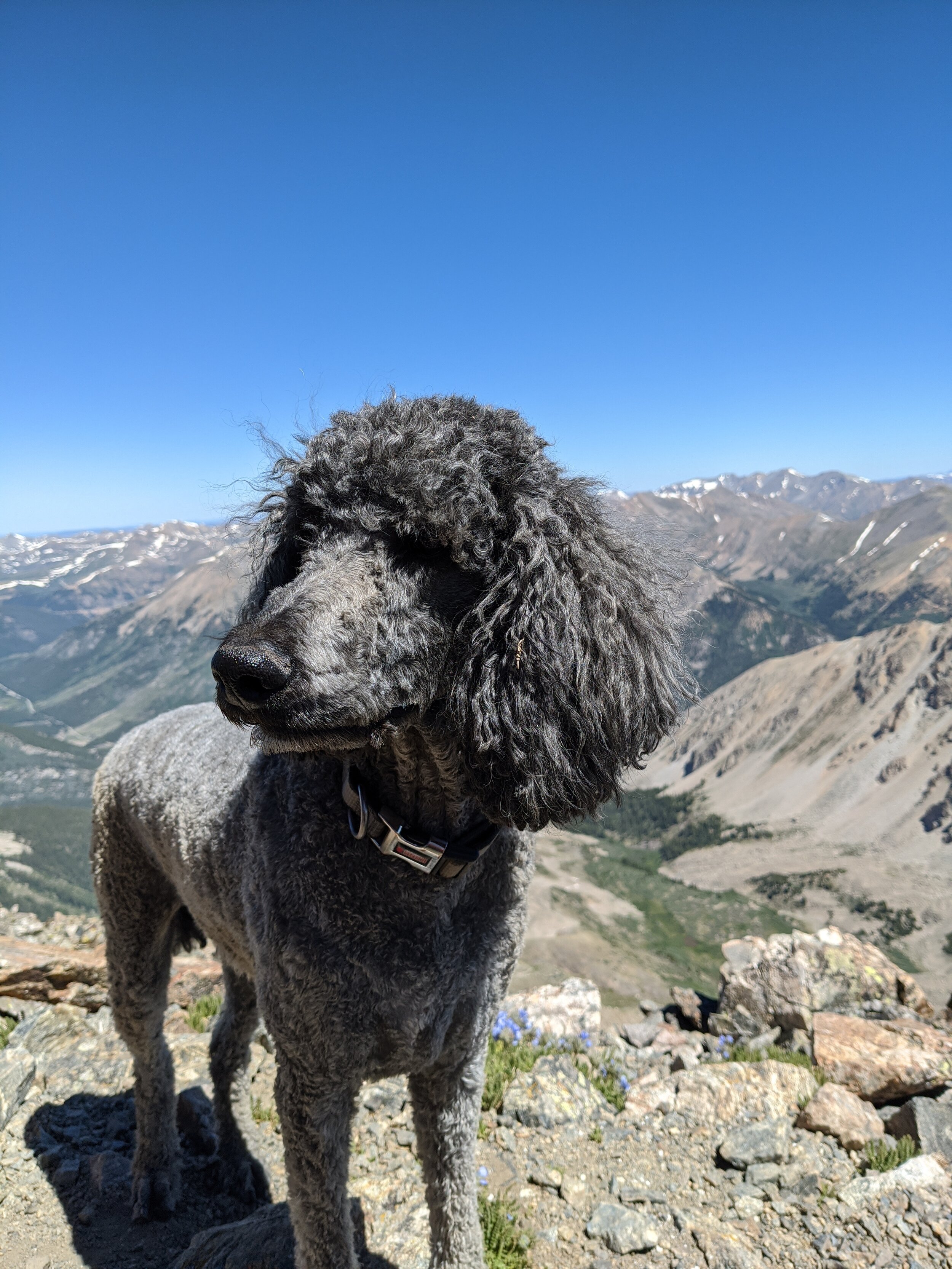
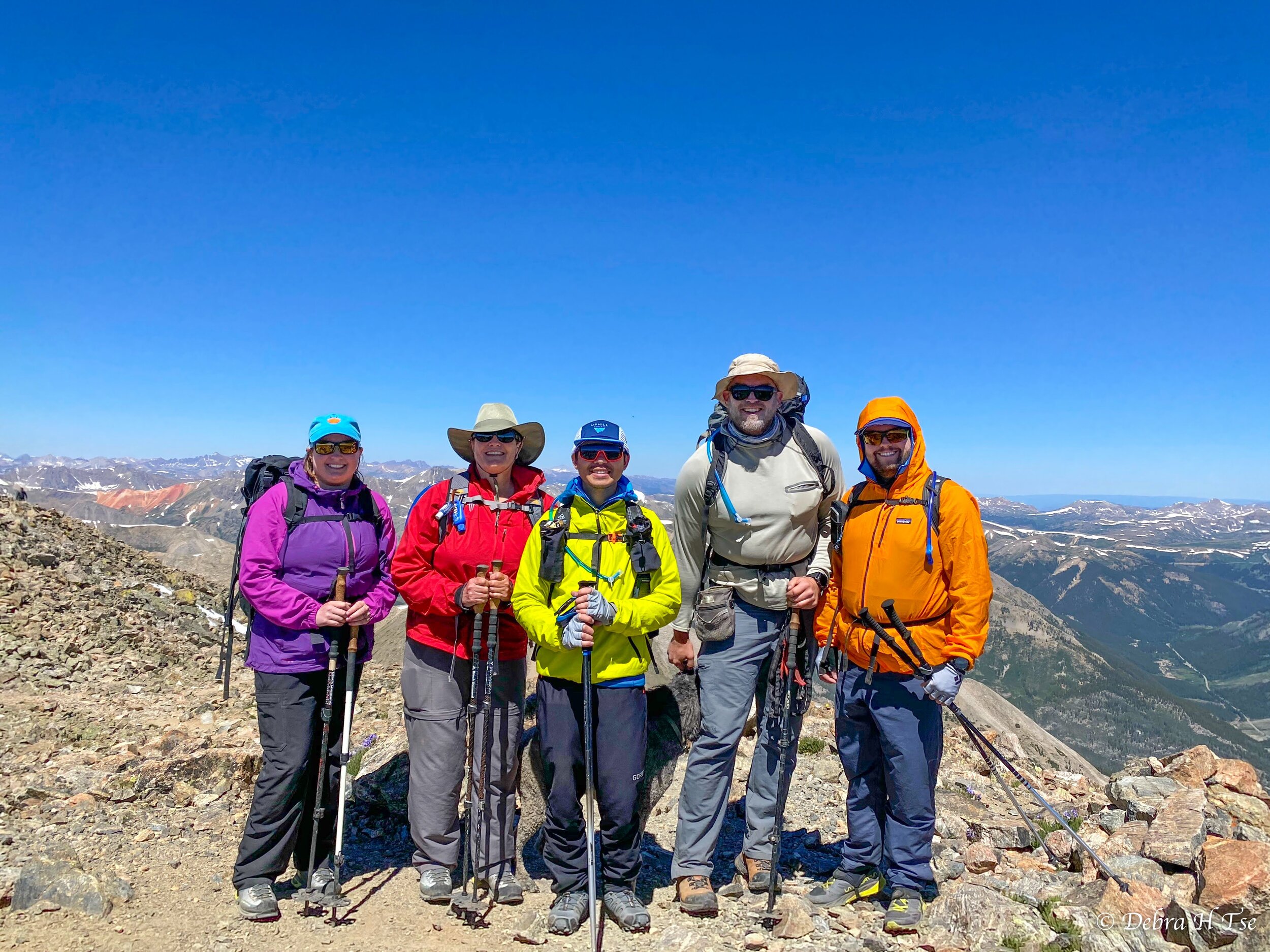
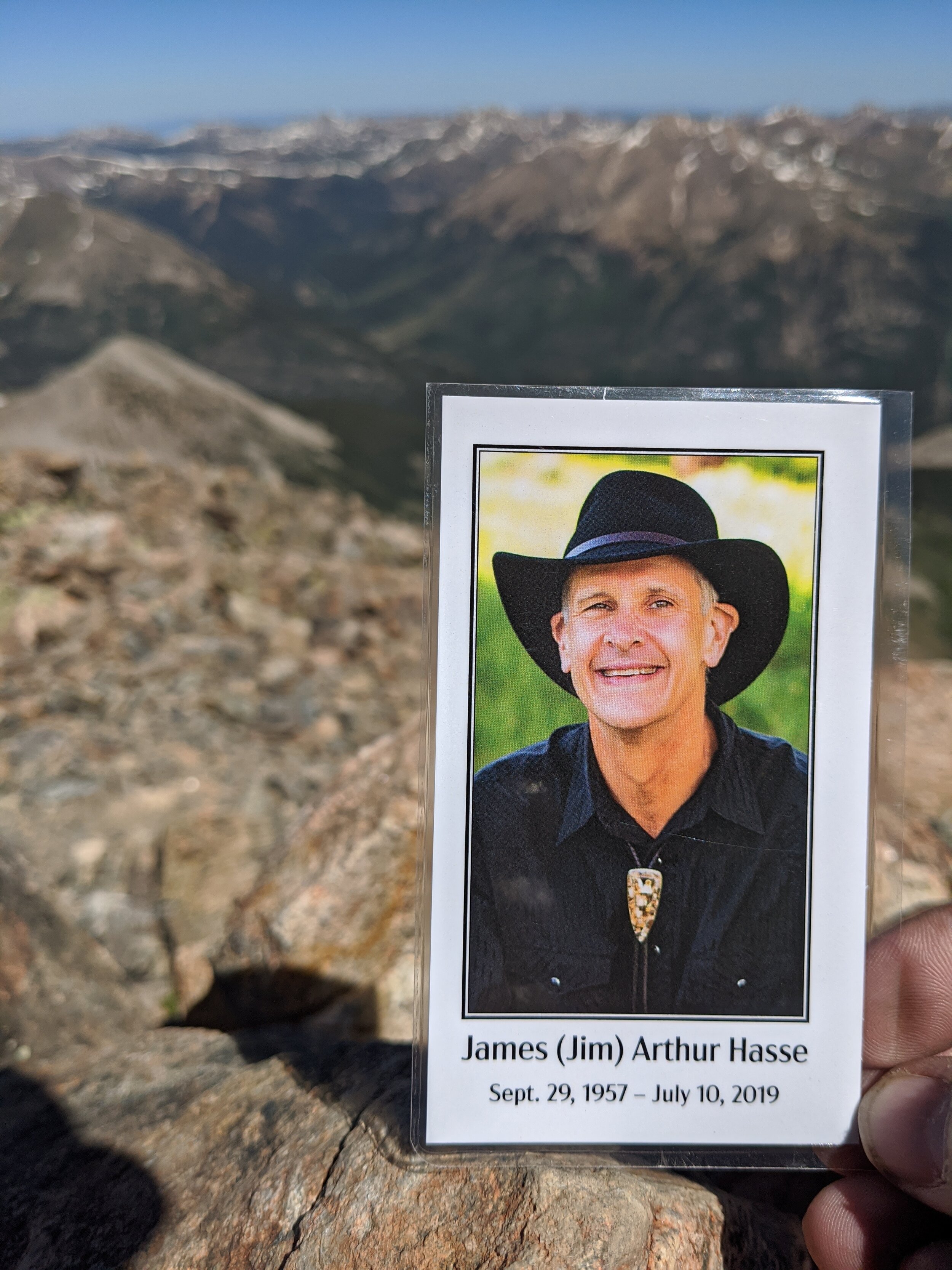
We awoke naturally Wednesday morning and leisurely packed camp to hike out. We decided to take a rest day on Thursday, because we were planning to meet up with Paul Kaster to hike La Plata Peak (14,360’) on Friday. July 10th is a special day, as it’s the anniversary of Dad’s accident and La Plata is a special mountain. I’d summitted 49 of the 54(ish) CO 14ers, and La Plata was the last “easy” one that I could do together with Mom. We were sort of saving it for last, but I think this worked out well. This entire trip was borne of the desire to climb a mountain on the 10th, as well as be close to one another. I’m hoping to make this an annual tradition. We had an absolutely gorgeous forecast for Friday, but we knew that we would be slow. So we opted to drive down Thursday night to camp near the trailhead. Paul and his mountain poodle, Moose, met us at the campsite late Thursday night.

Mom’s lifted 4Runner looking worthy
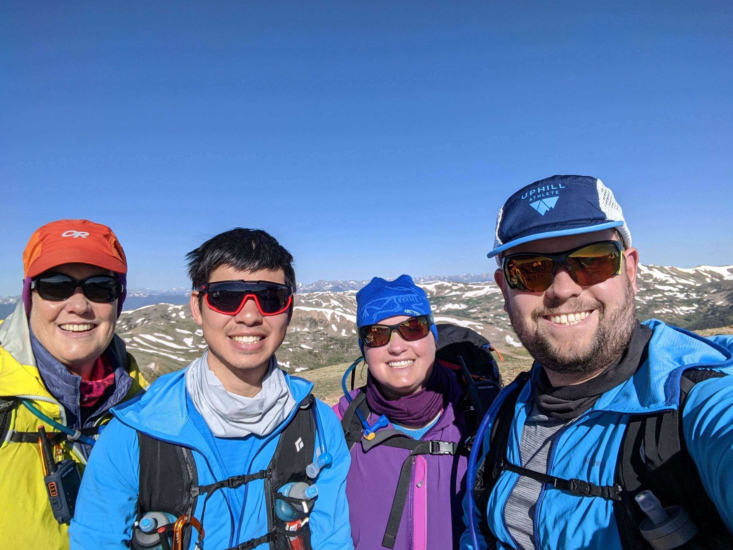
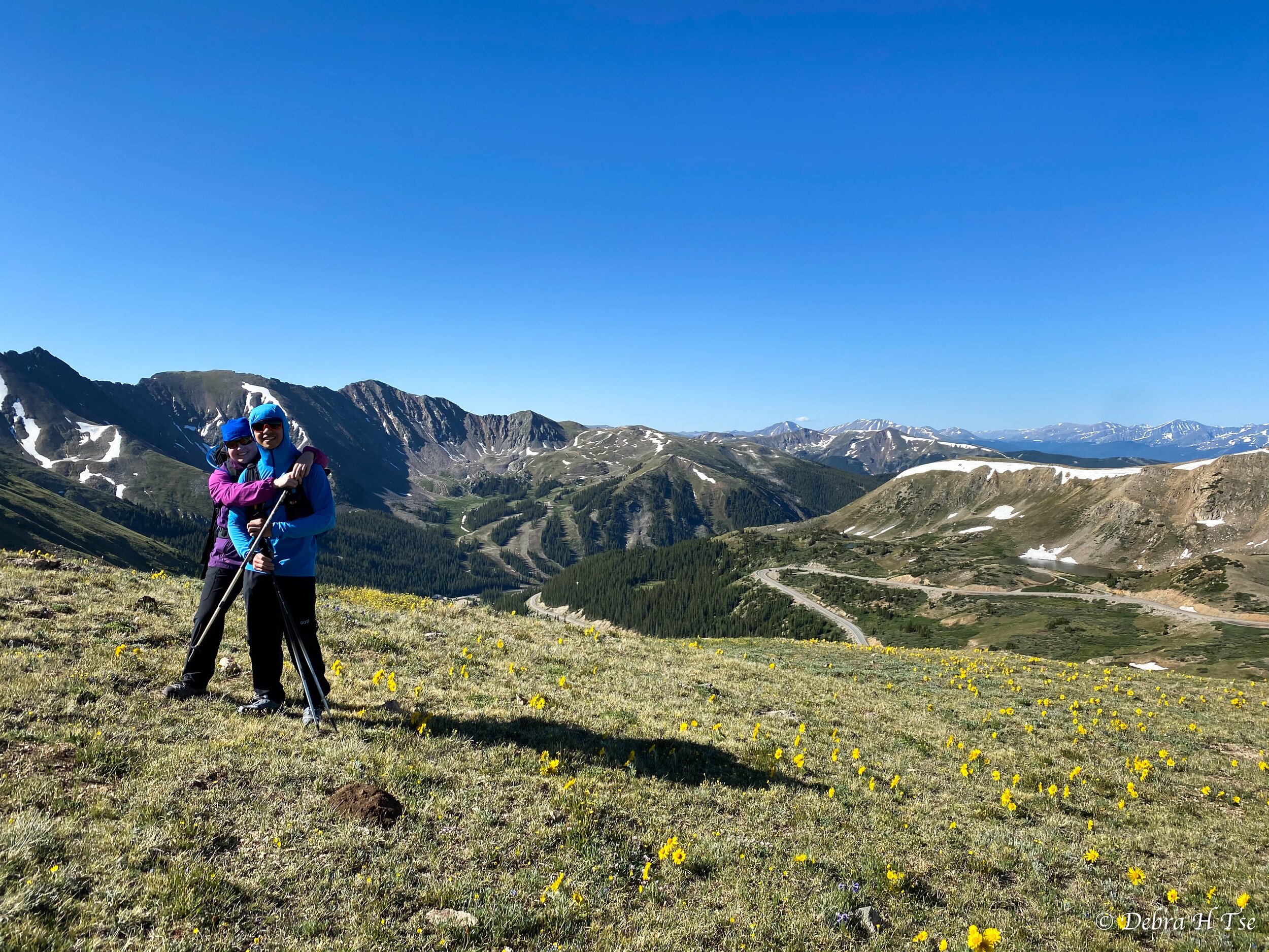
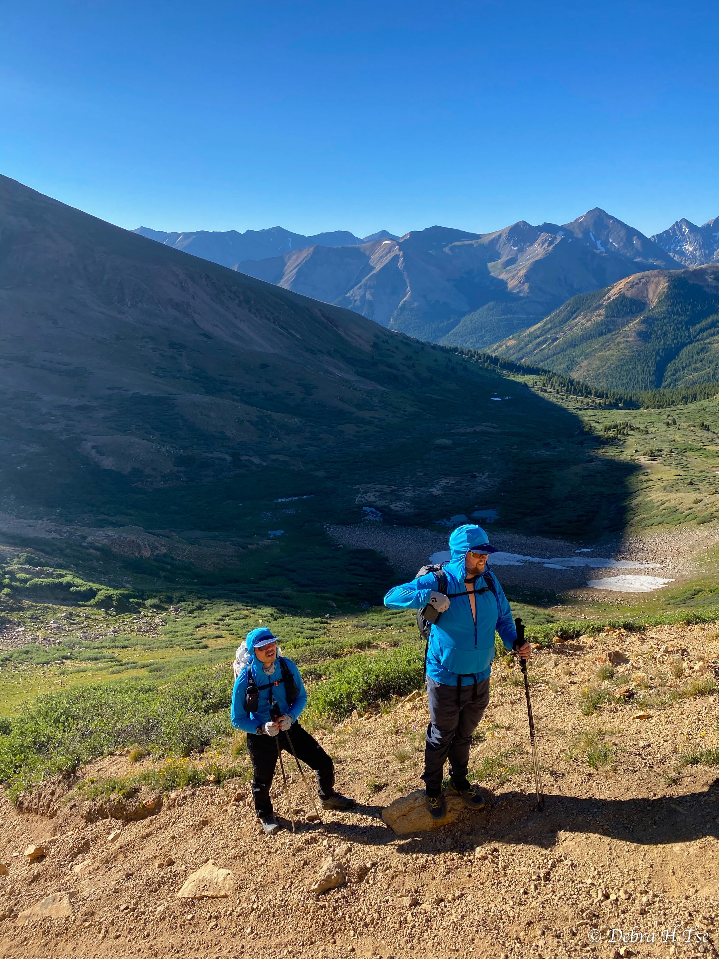
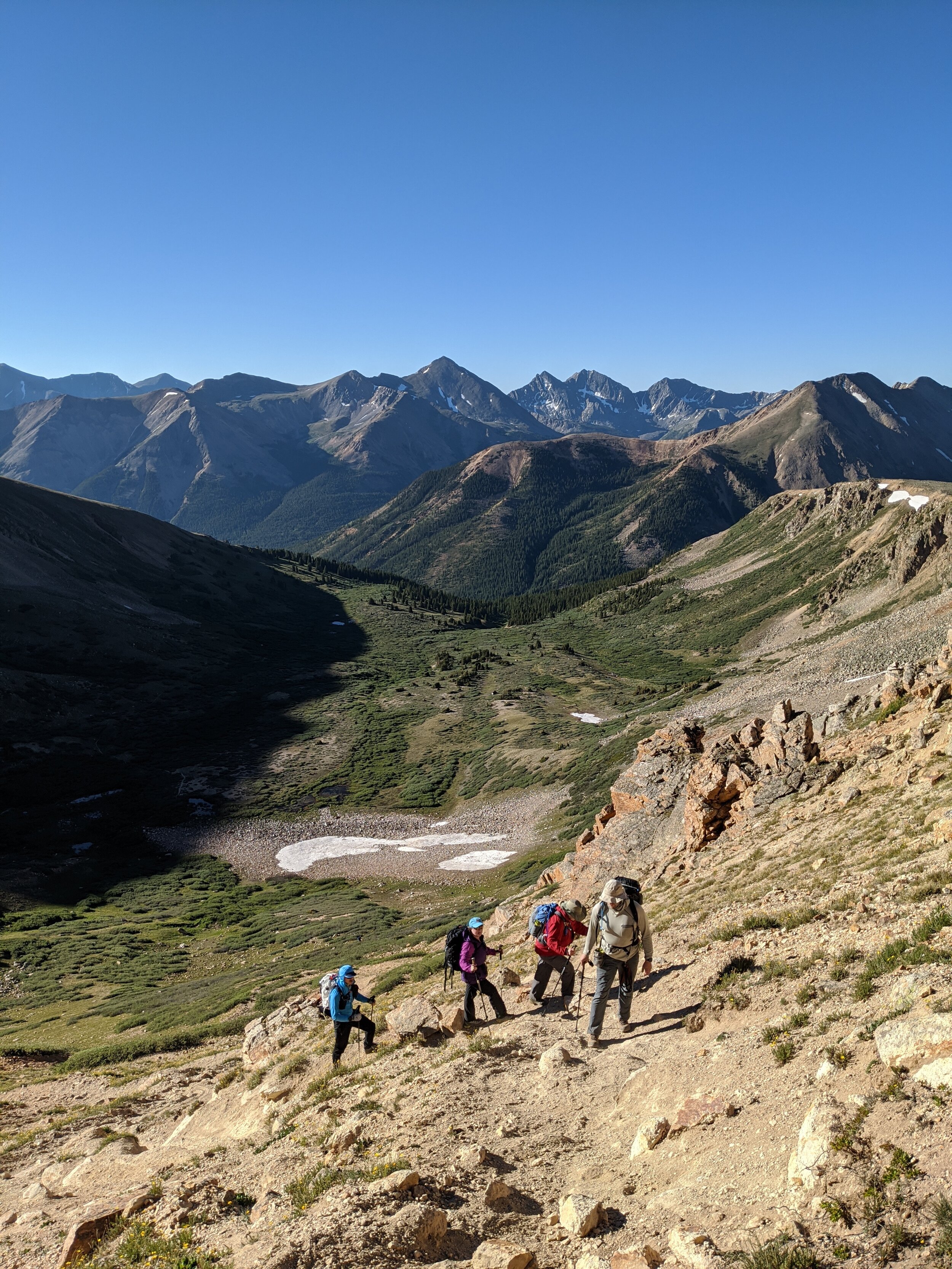
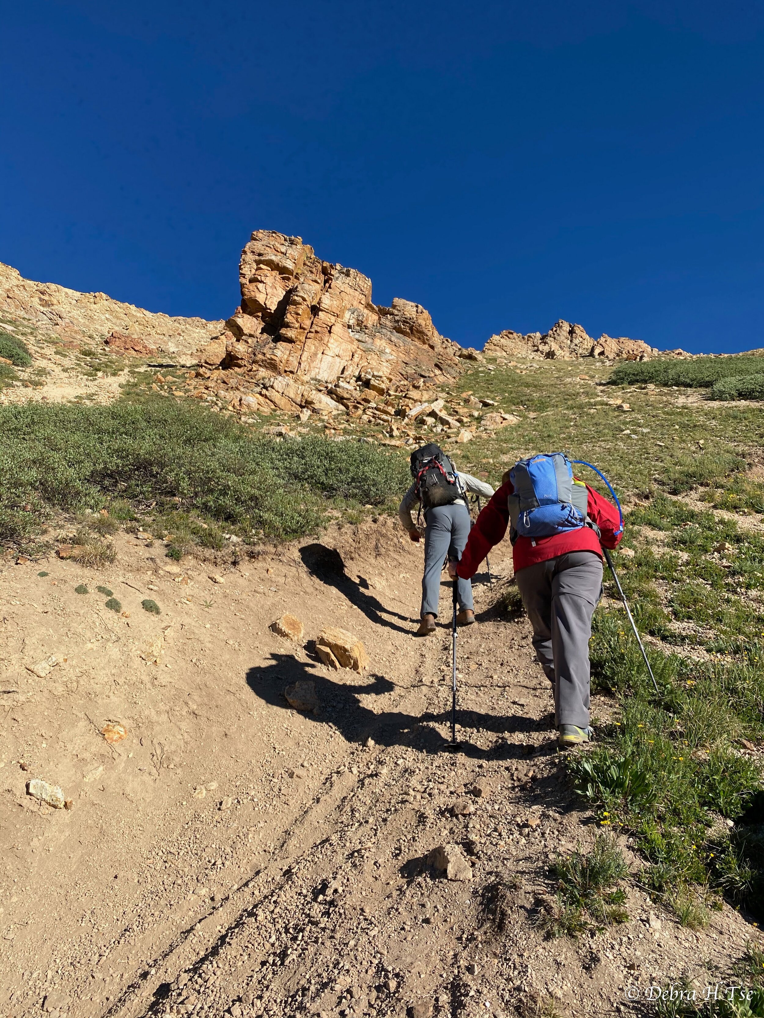
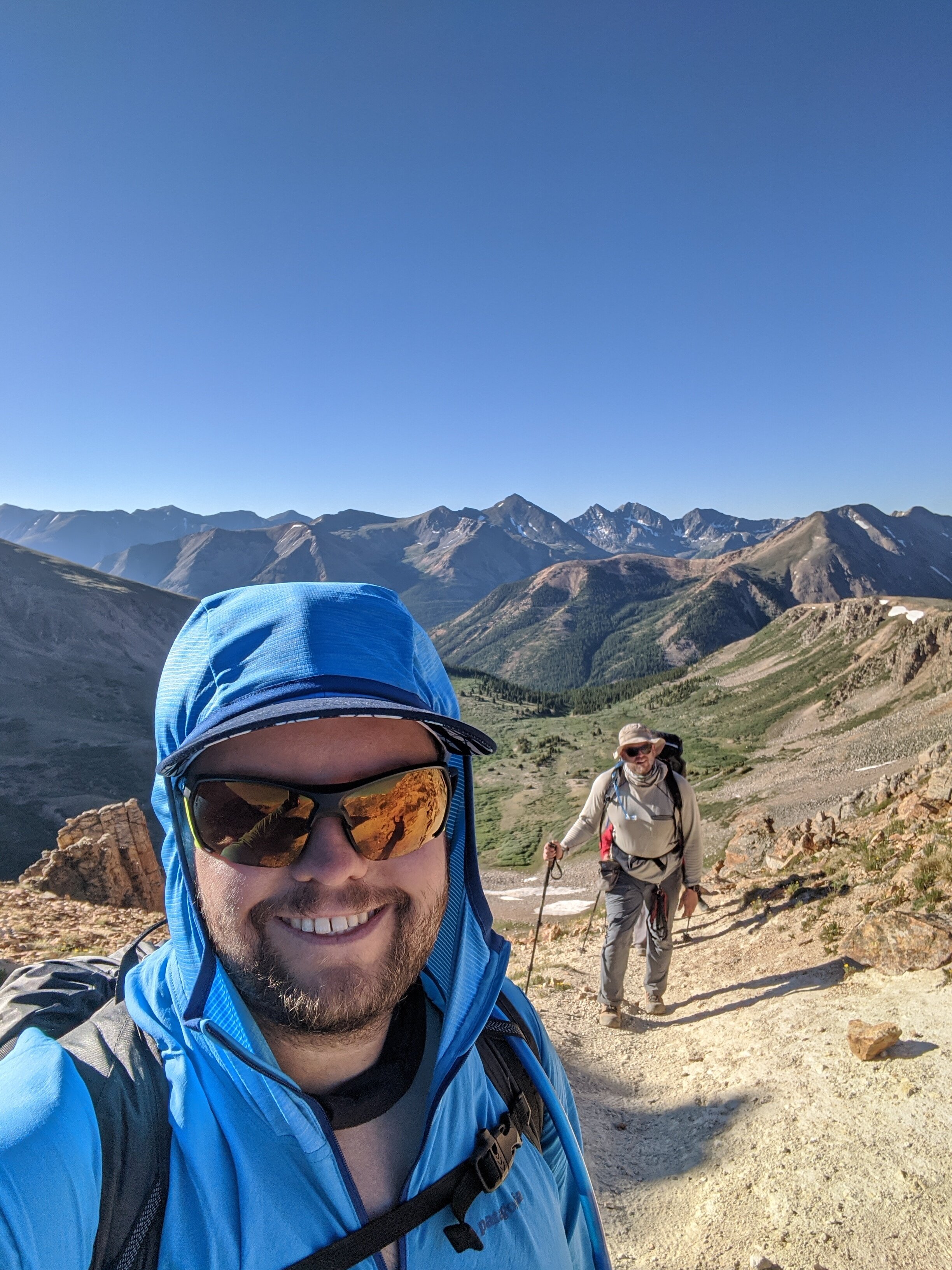
Friday, July 10th - La Plata Peak (14,360’)
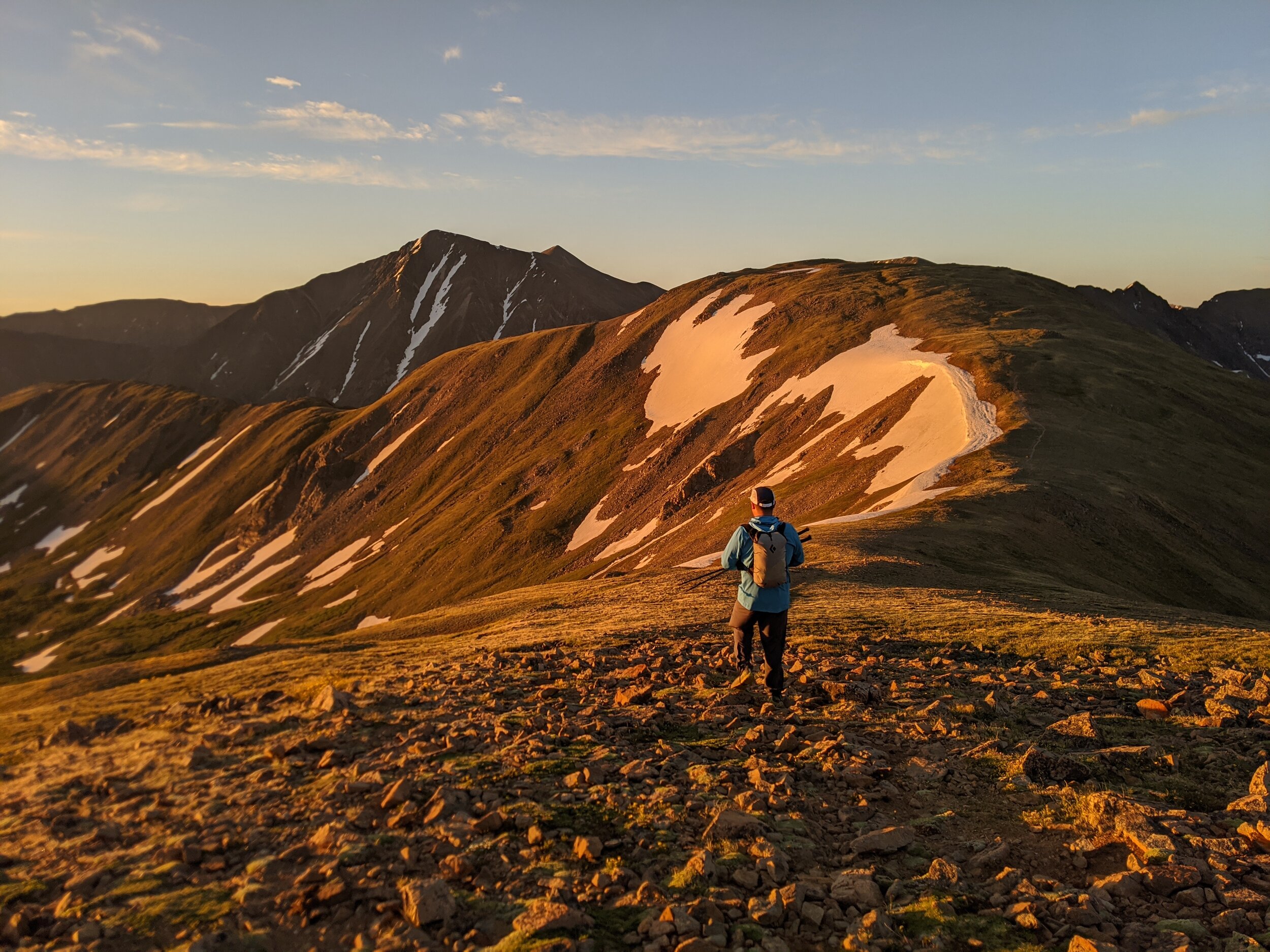
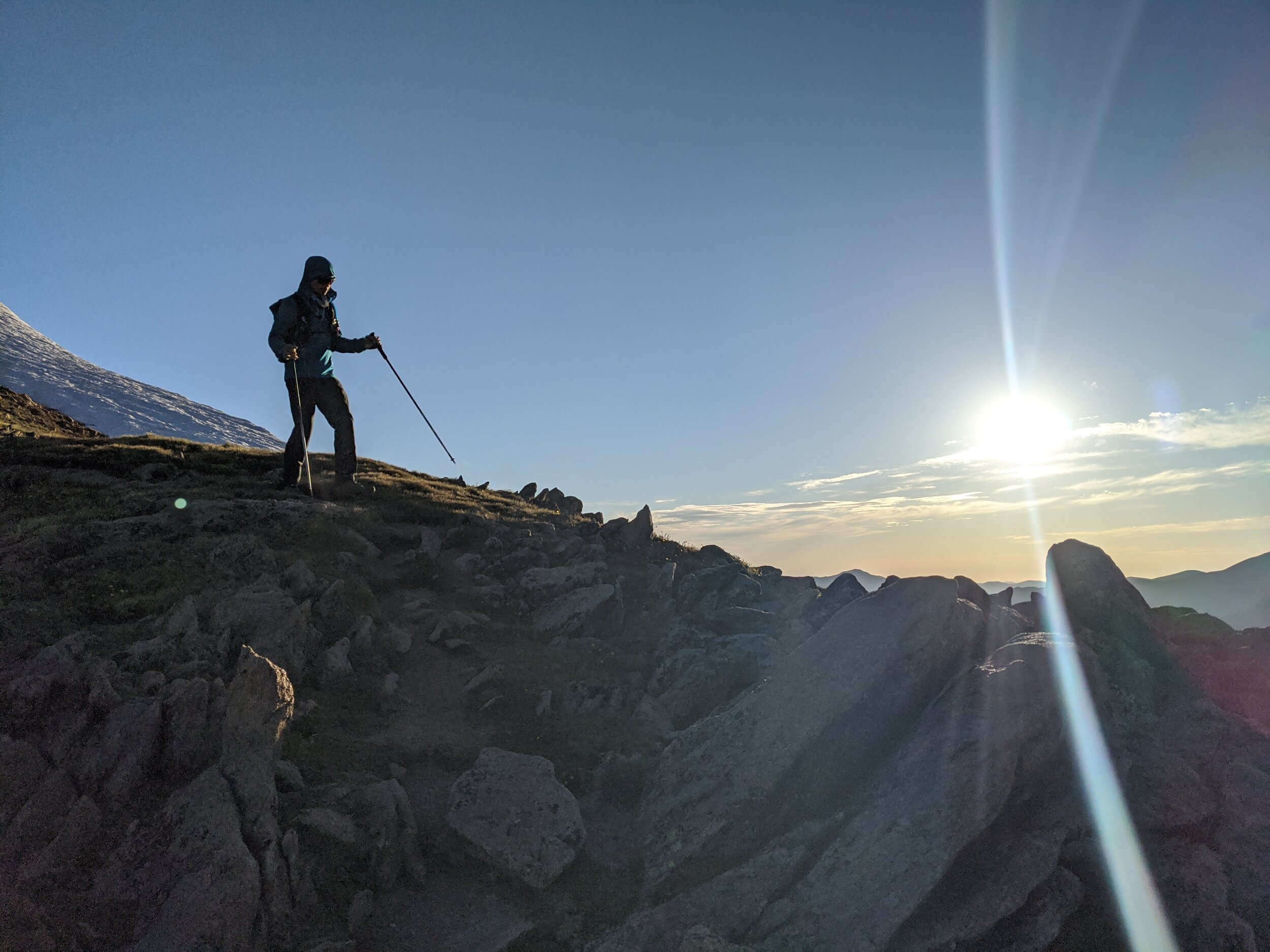
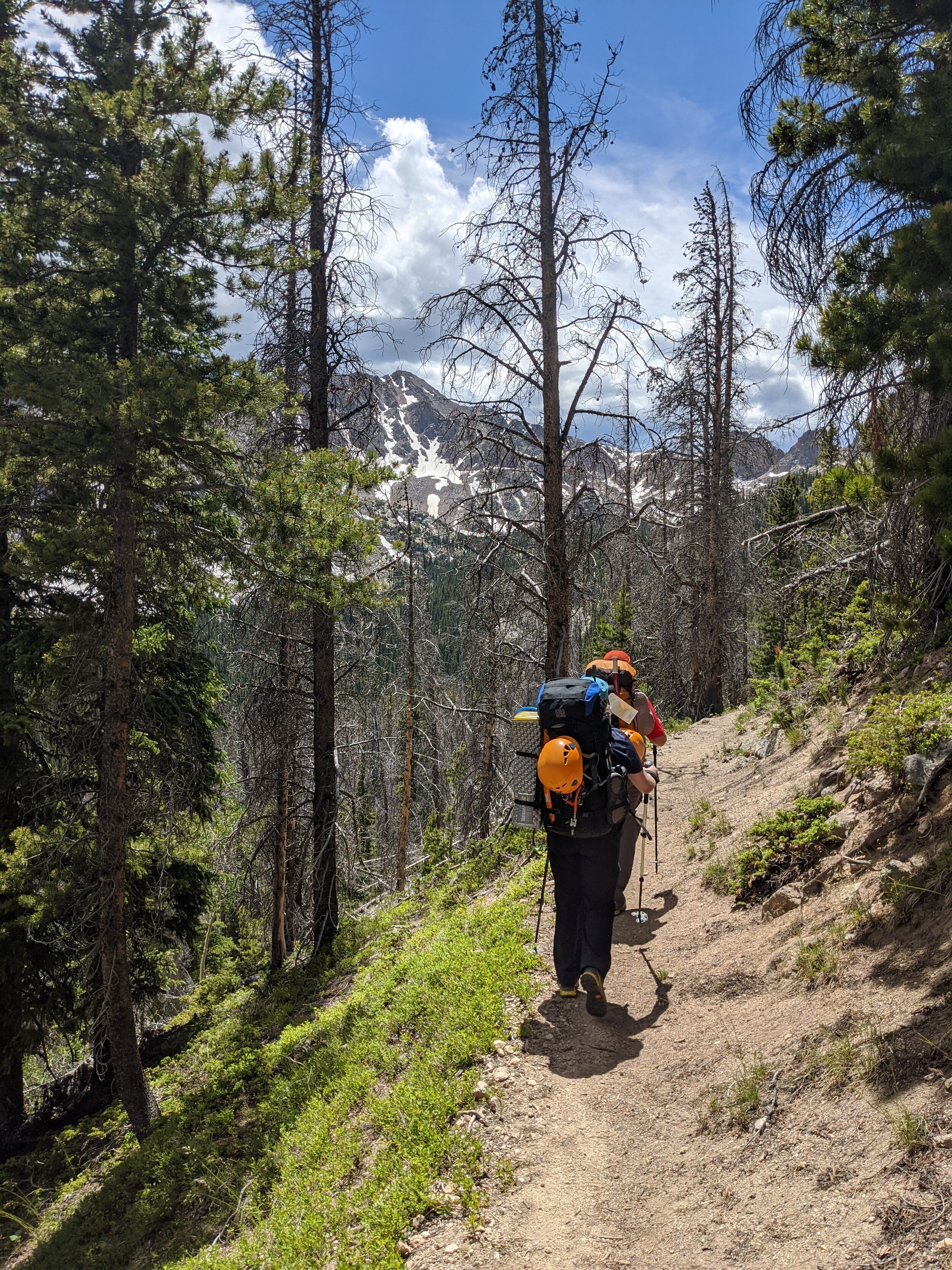
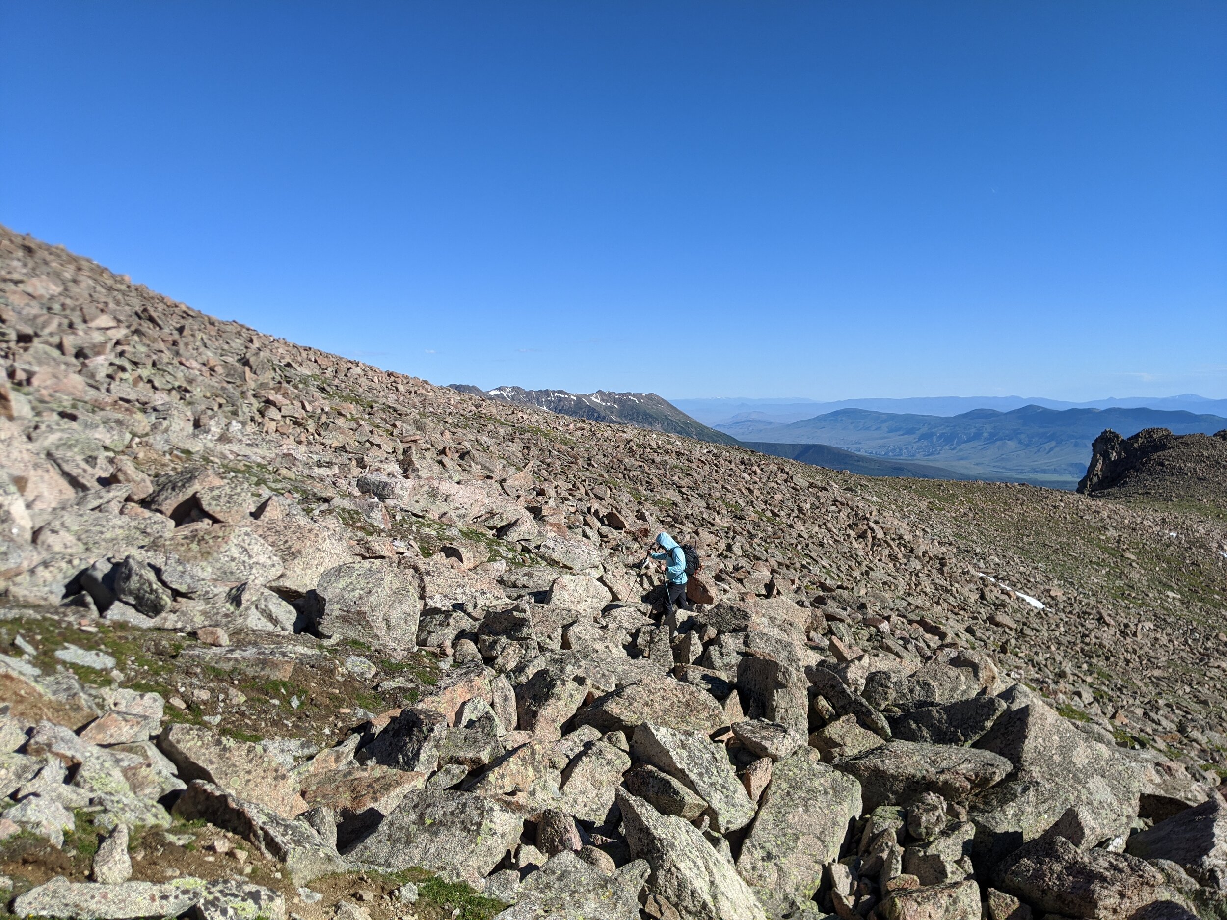
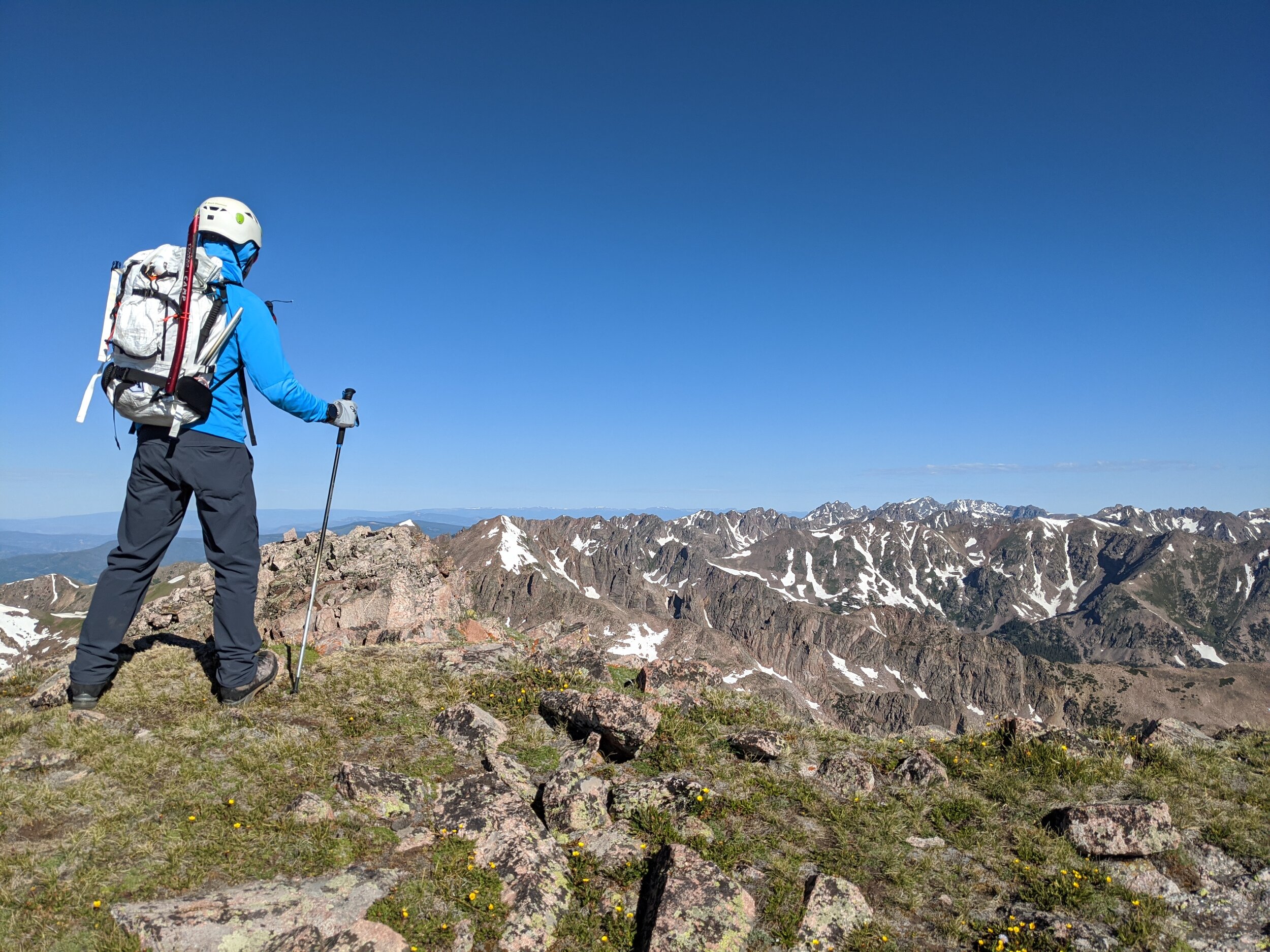
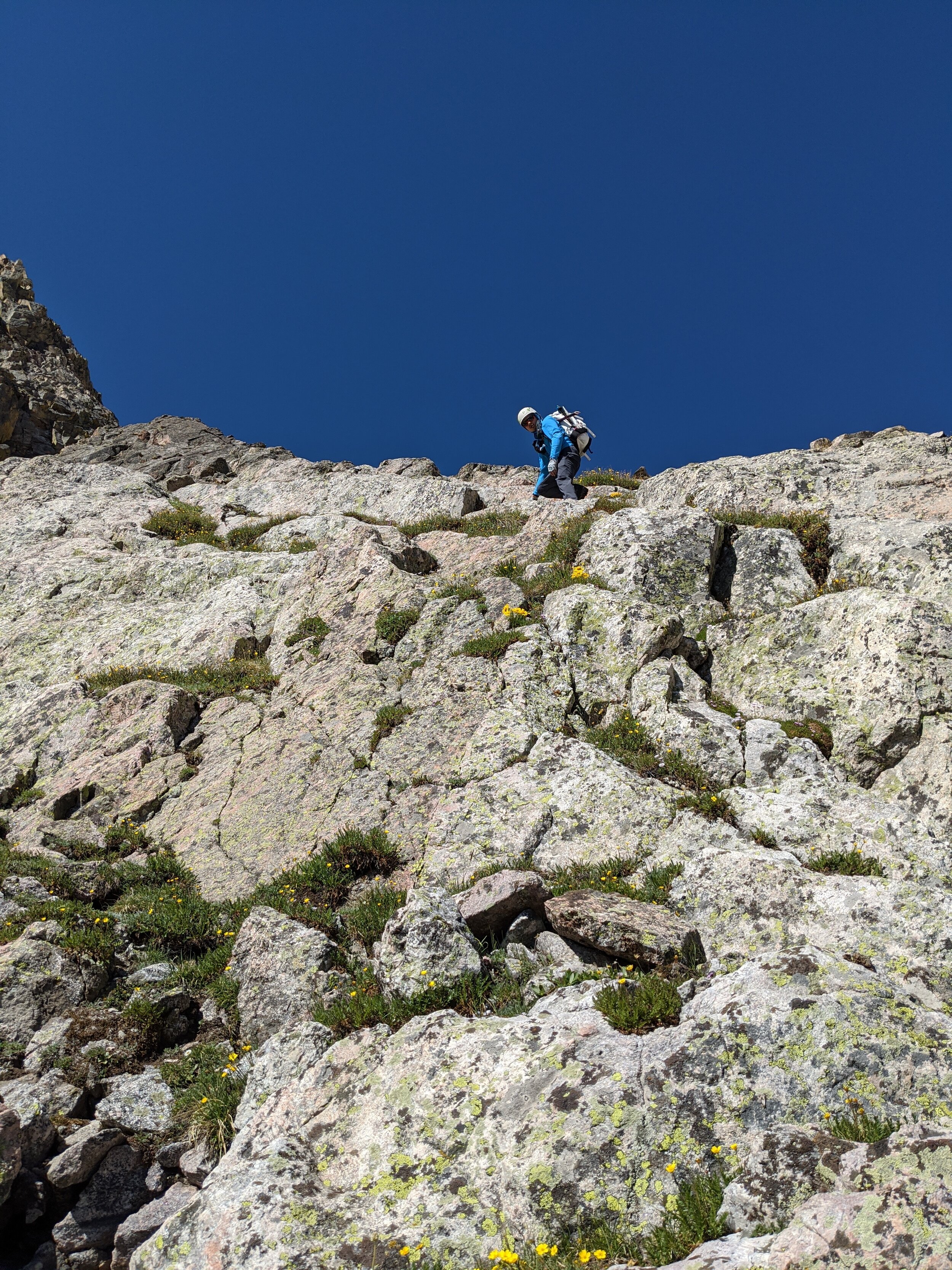
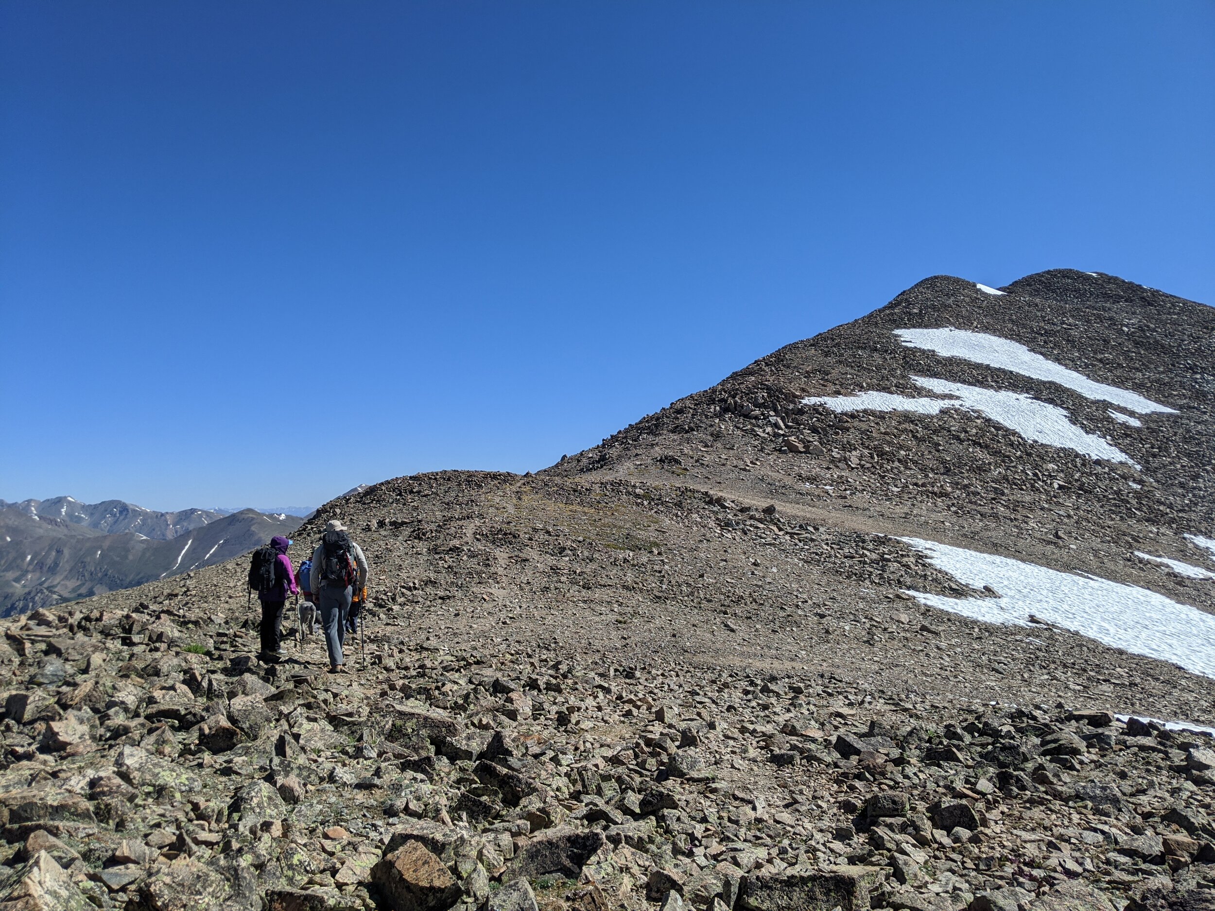
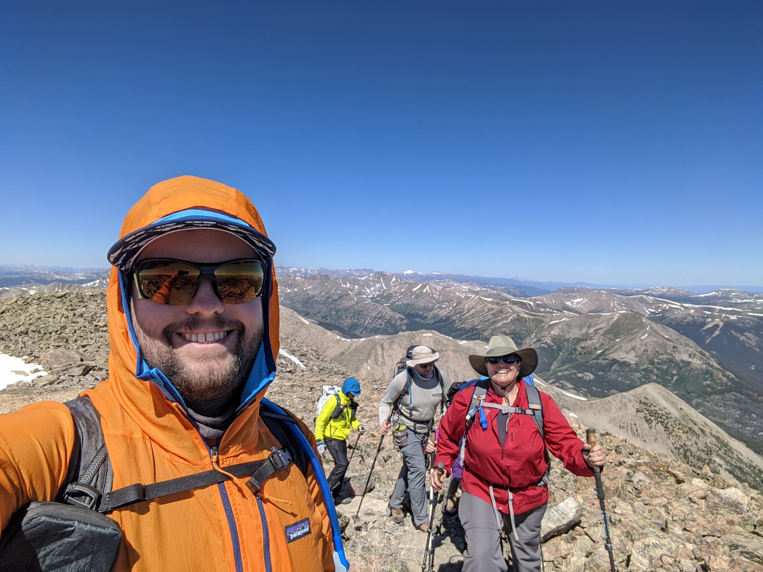
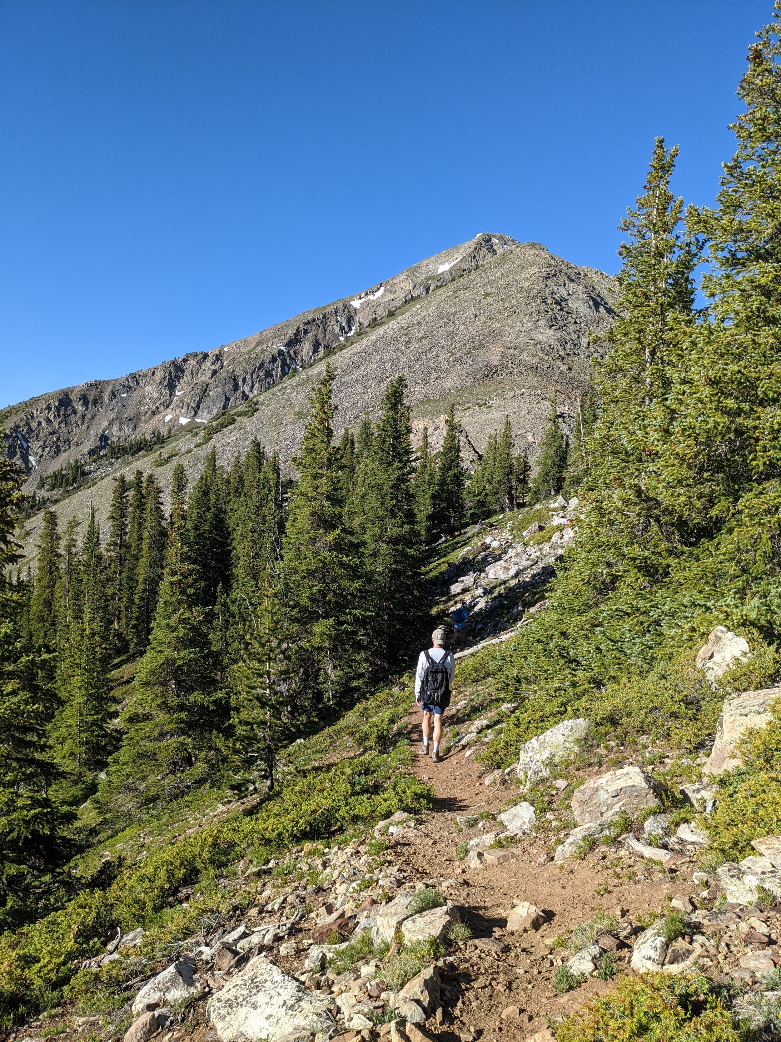
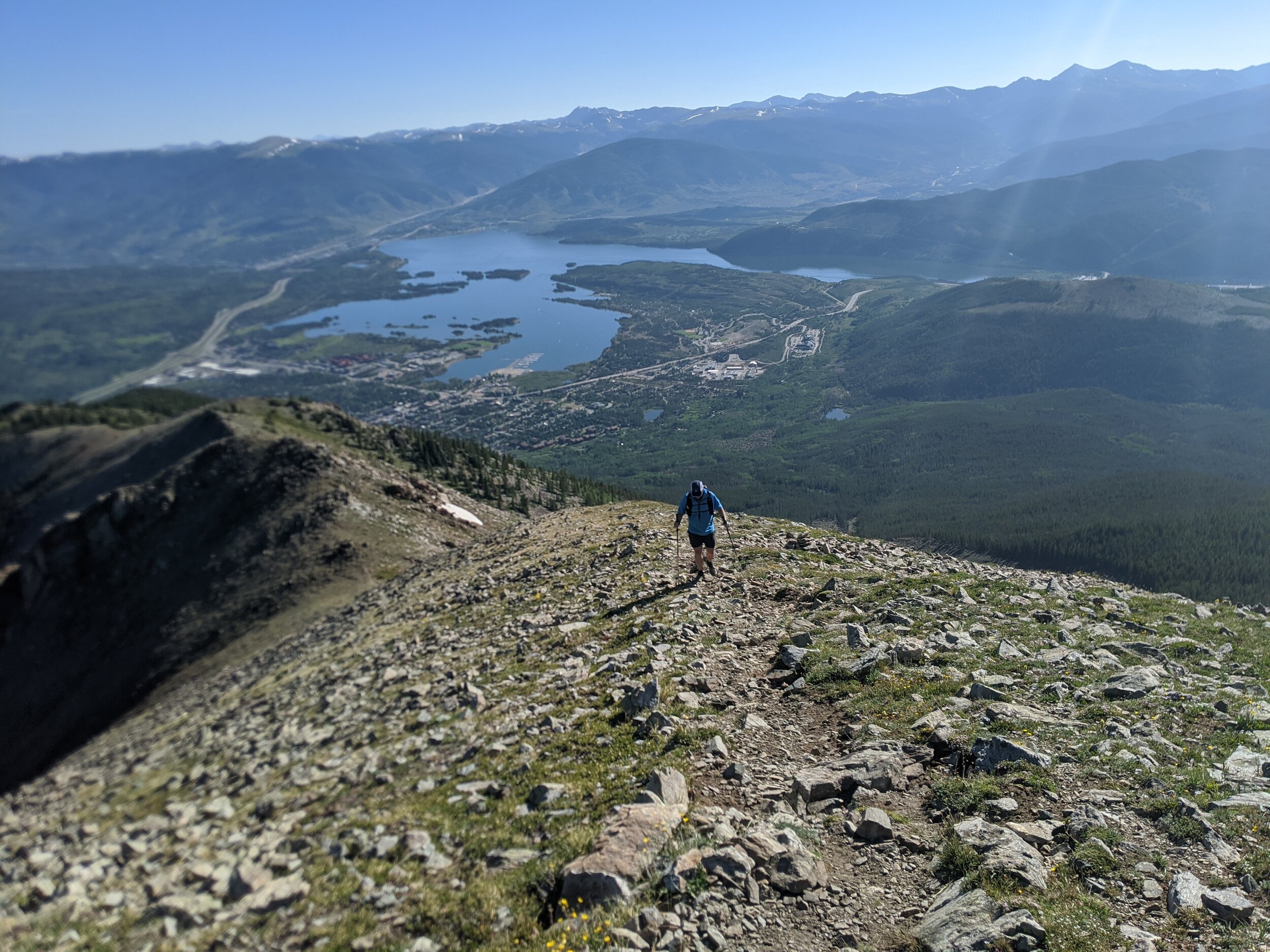
We awoke pre-dawn and piled into Paul’s truck for the final approach to the trailhead. We chose to hike the Southwest Ridge Route on La Plata because it’s shorter, and you can start higher with a capable 4 wheel drive vehicle. No matter which direction you climb it from though, La Plata is a big mountain. The Southwest Ridge route is a little over 7 miles with 3400’ of elevation gain. The route climbs steeply through coniferous forest beside a creek, then mellows out in a high alpine meadow at about 11,000’. The meadow is an exercise in willow-whacking, and at the other end the route climbs a steep, loose pass. From there, another long, steep talus climb awaits. The ridge goes over several false summits before finally running out of mountain.
Thankfully, we had perfect weather the entire day and were able to take our time. We finished in 11 hours, and drove home after eating some well-deserved tex-mex.
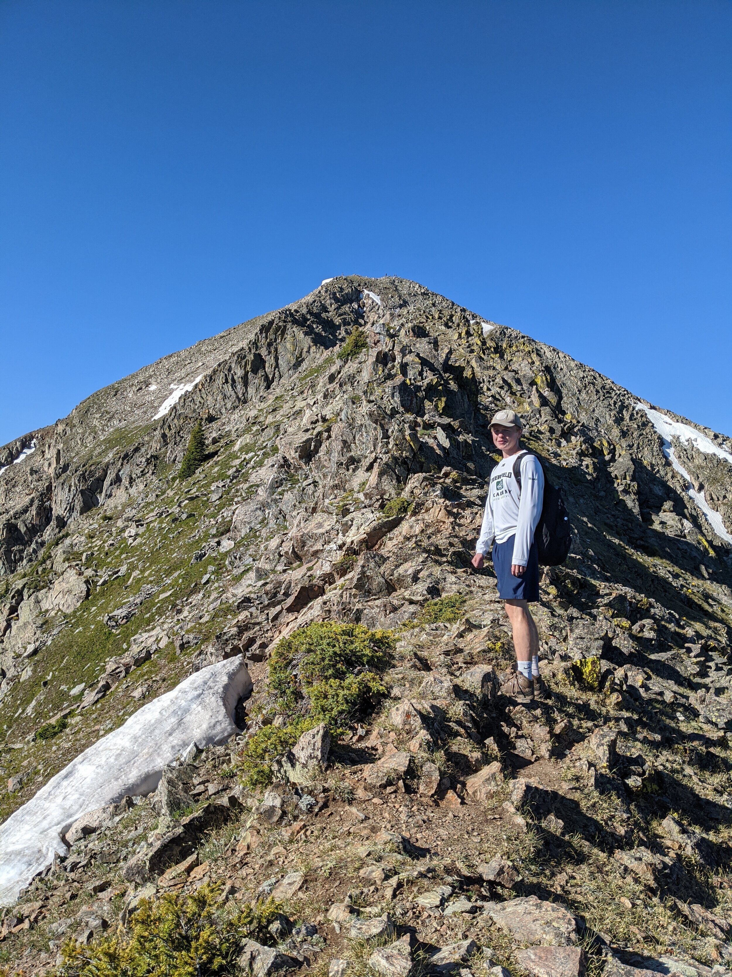
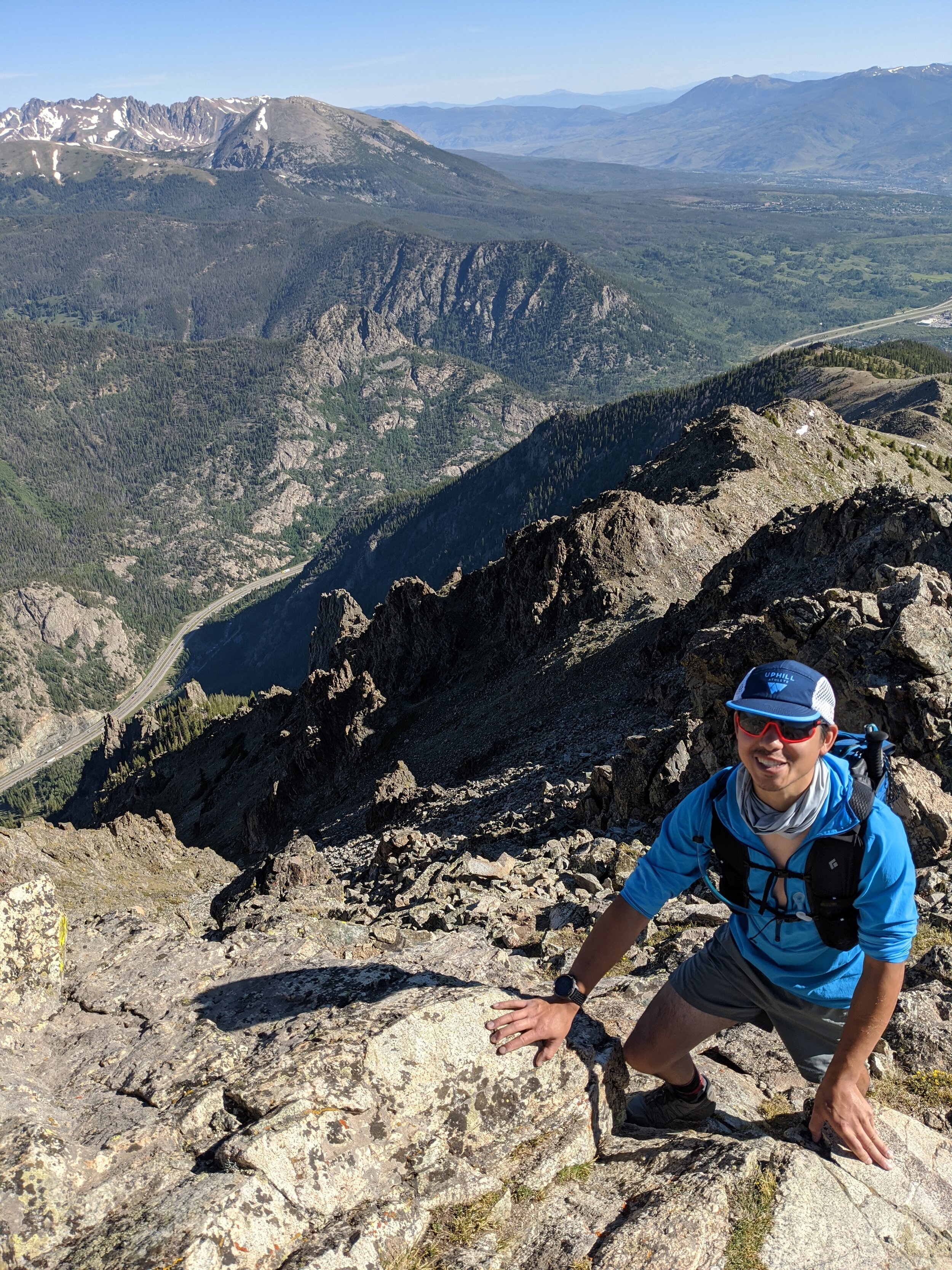
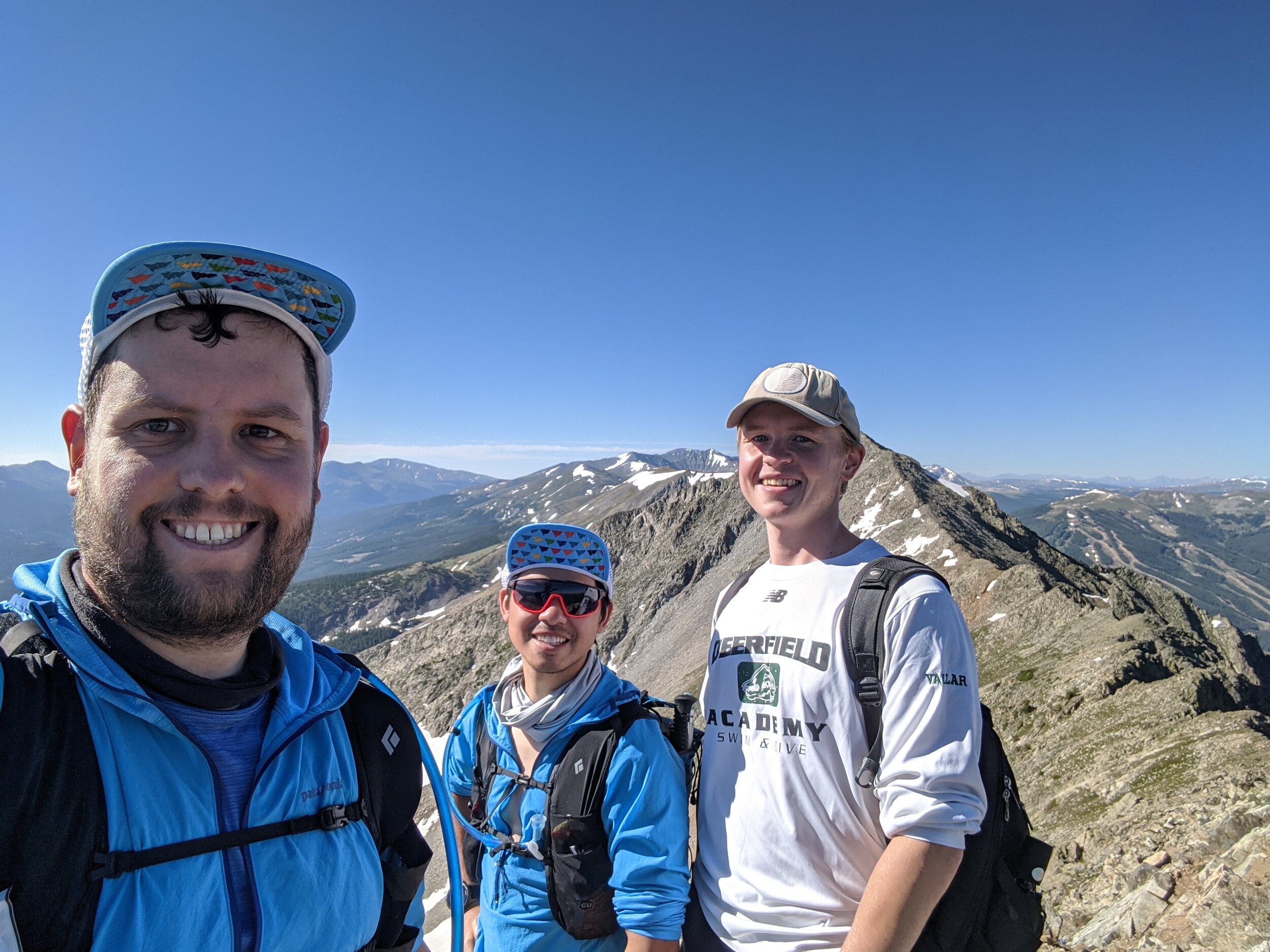
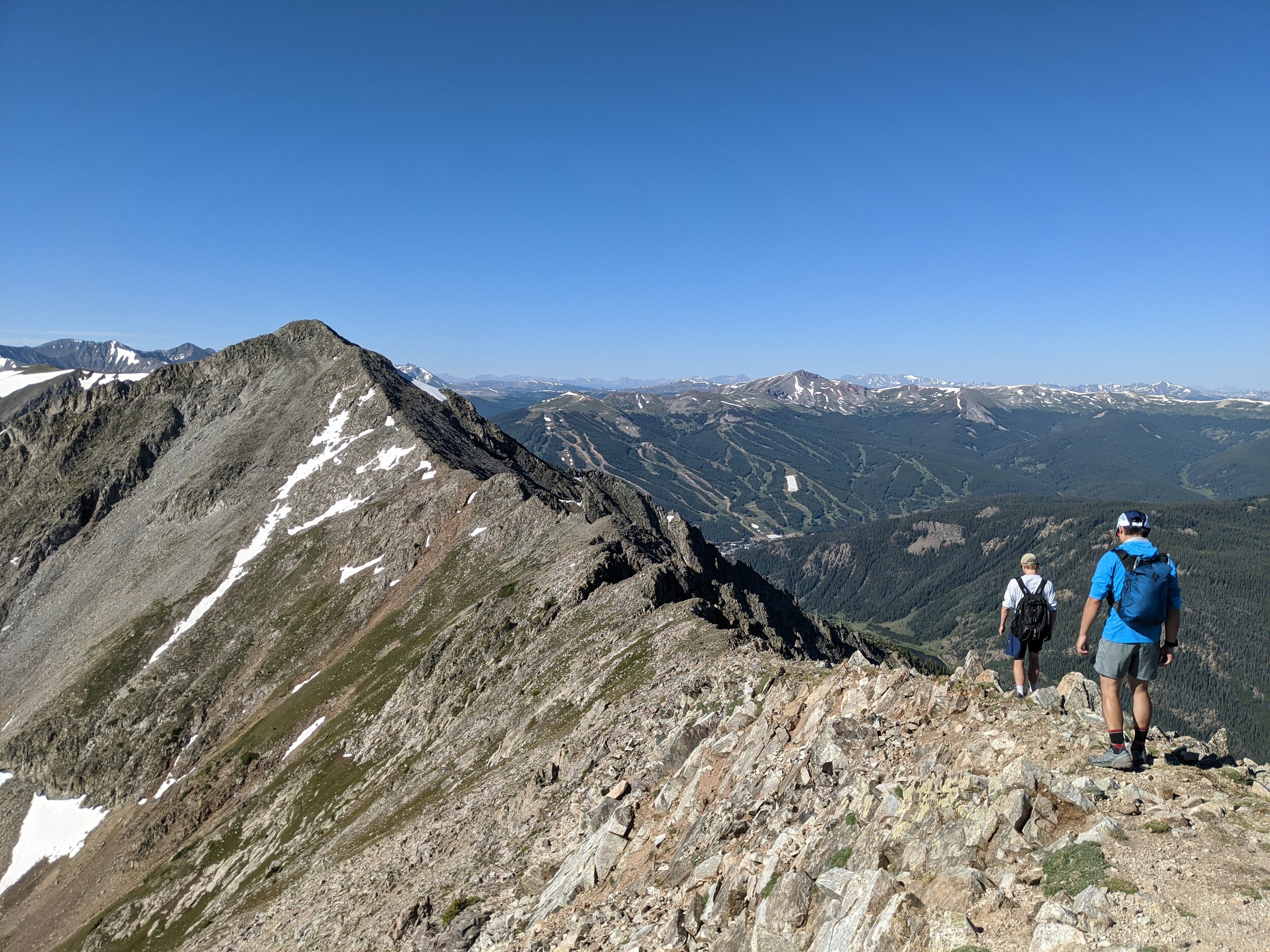
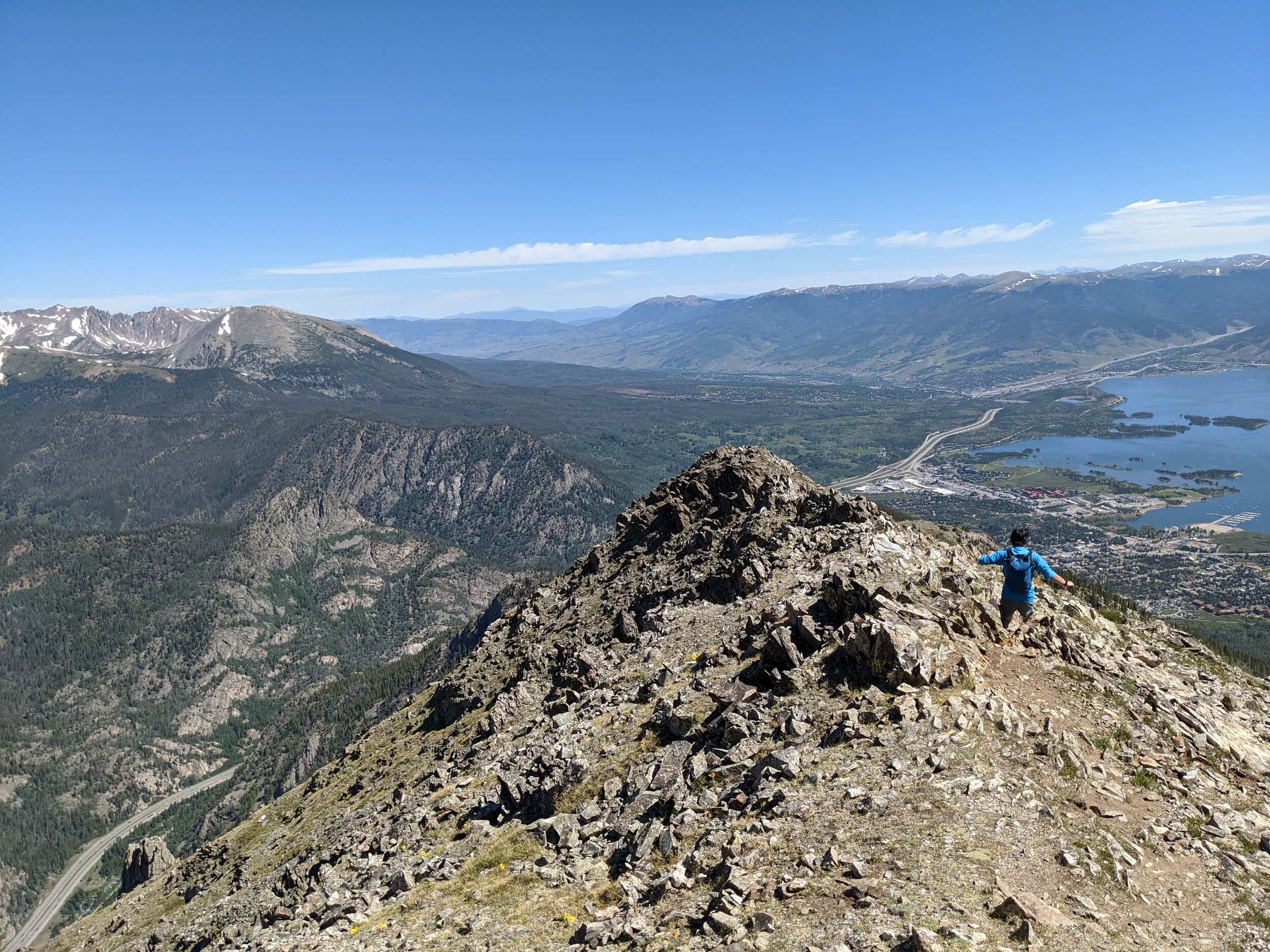
Saturday, July 11th - Peak One (12,795’) & Tenmile Peak (12,894’)
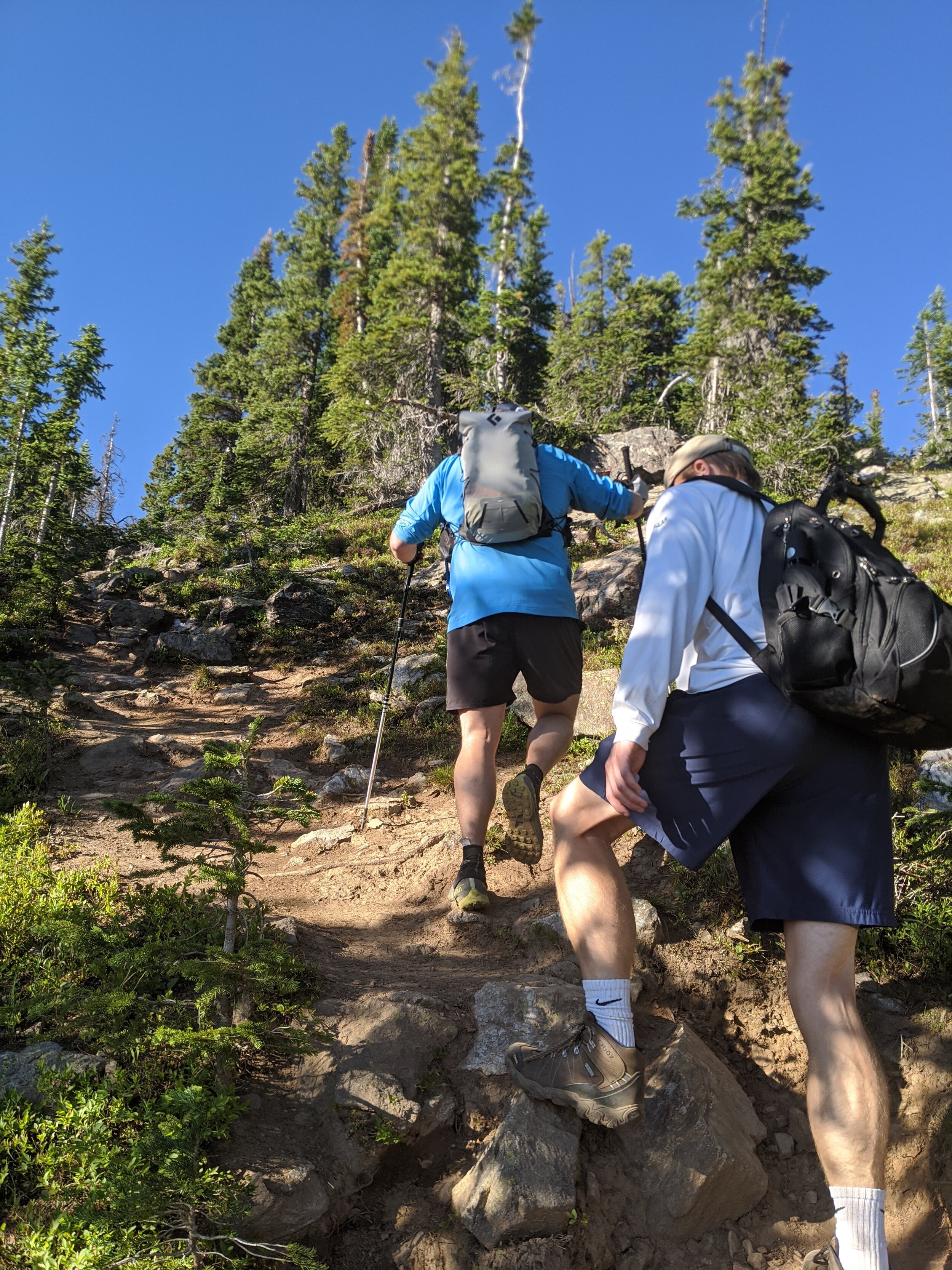
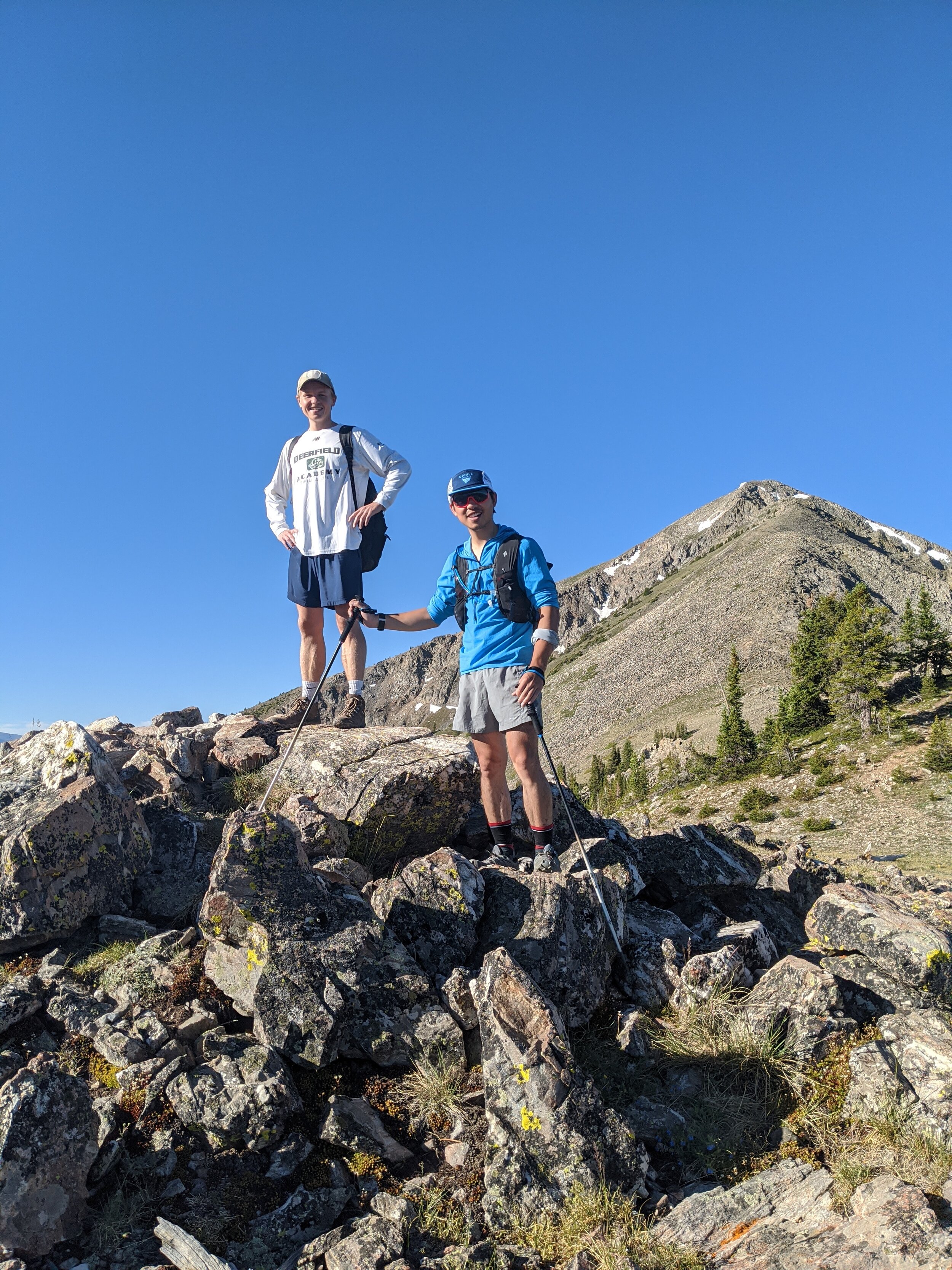
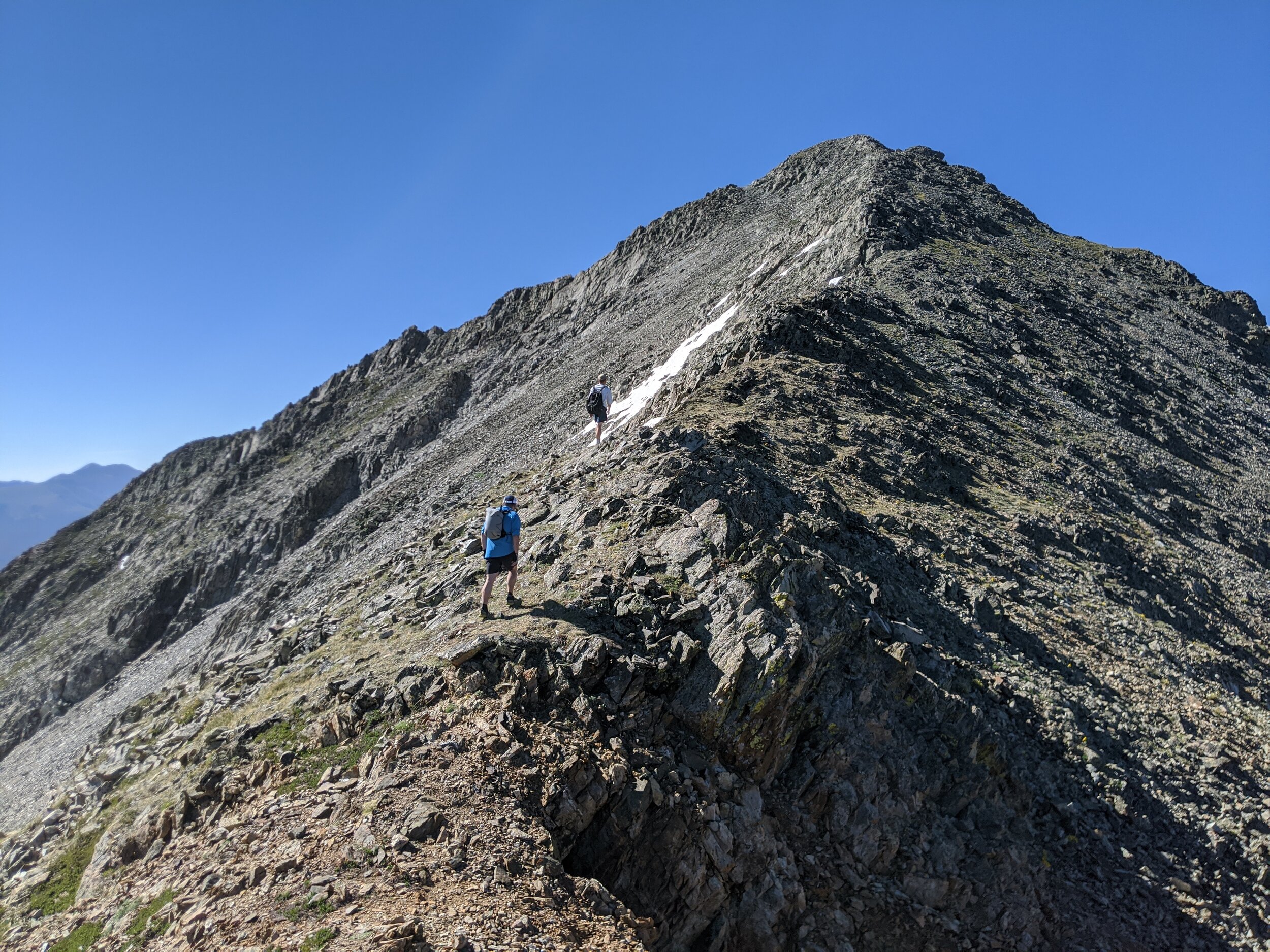
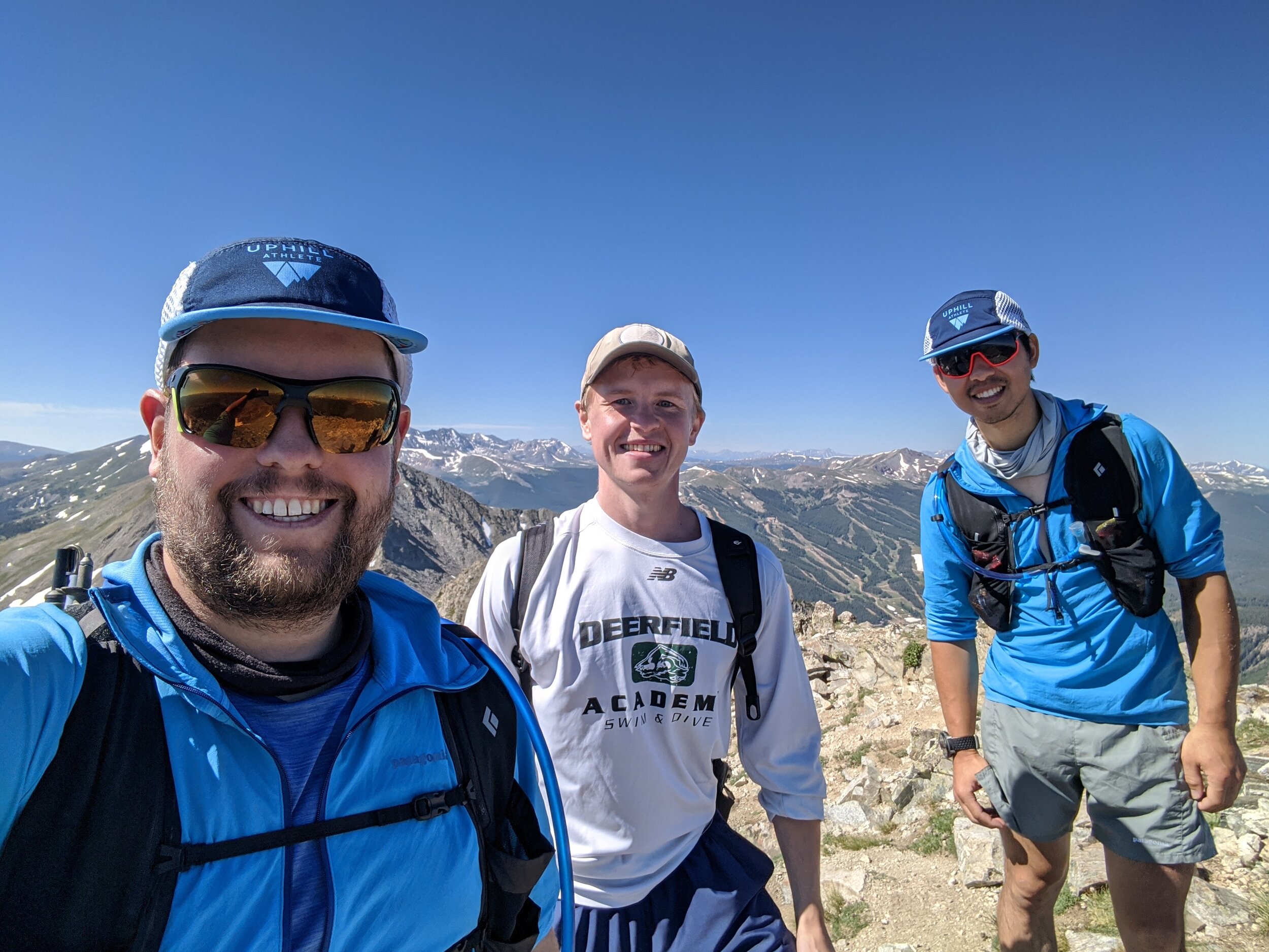
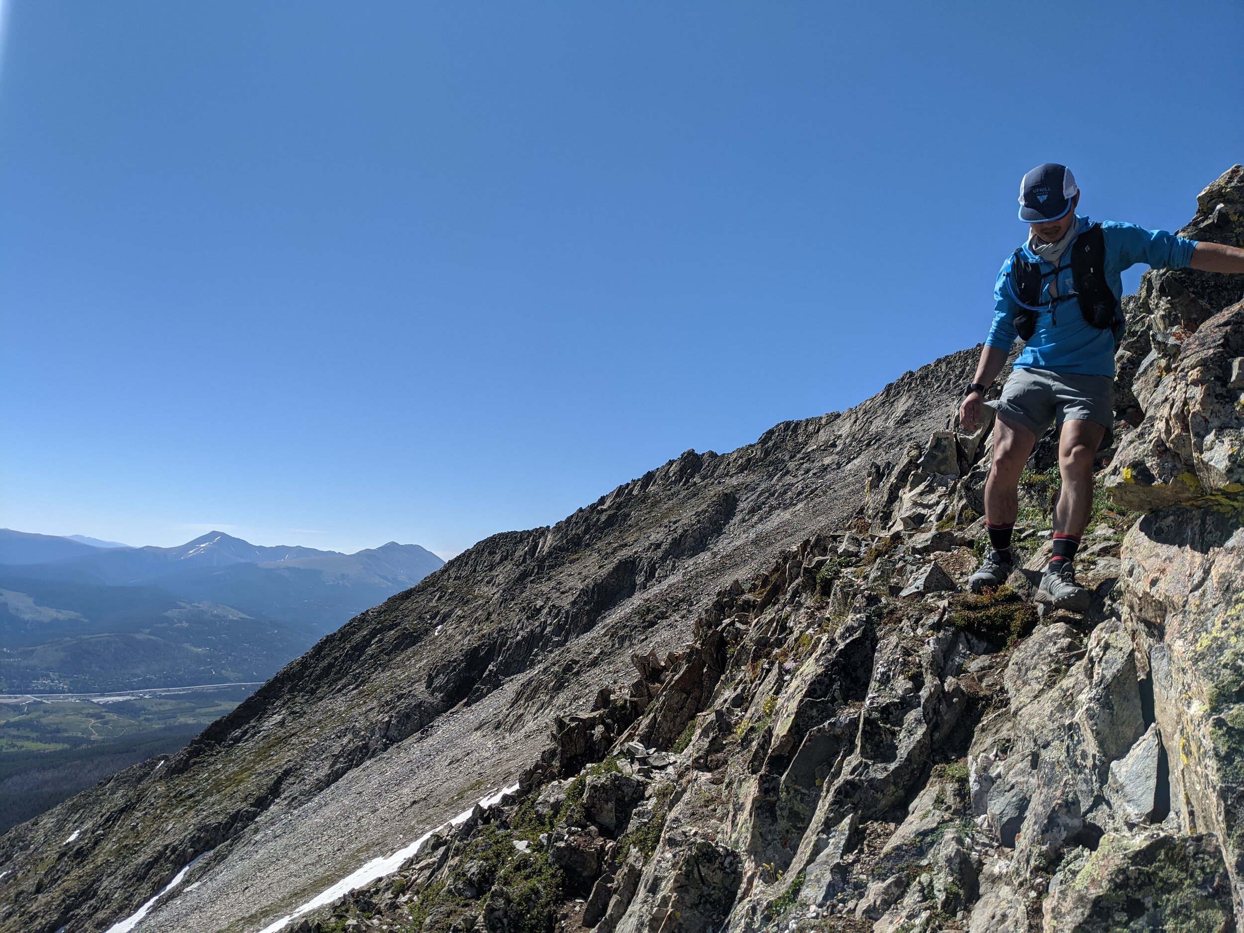
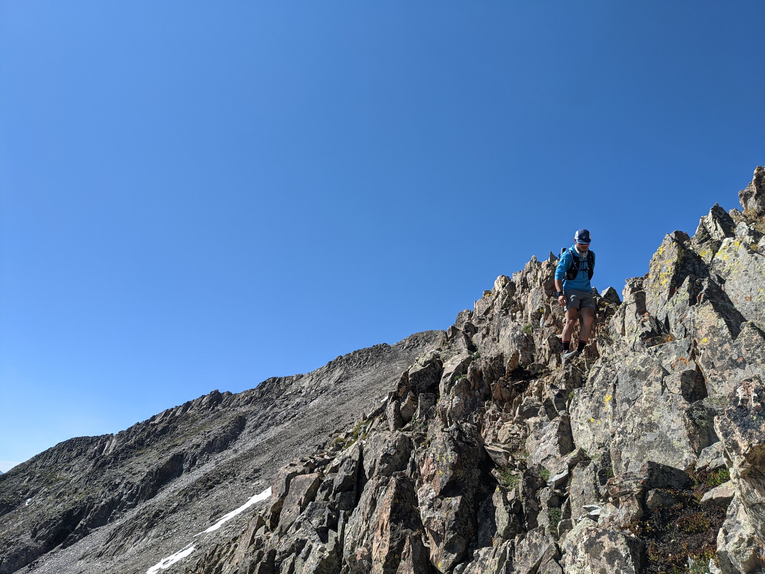
Matt and I weren’t completely exhausted yet, so we went for one last hurrah on Saturday before flying home. We met my cousin Jack Vallar, who was working remotely from CO, at the Mount Royal TH in Frisco in order to climb Peak 1 and Tenmile Peak. These two peaks are iconic in Summit County. They dominate the view from Lake Dillon and are incredibly easy to access from town. Despite that, I had never climbed them. What a mistake! Tenmile Peak and Peak 1 are incredible mountains. The standard approach is to climb the long North Ridge of Peak 1, passing Mt Royal and Mt Victoria on your way. Once past Mt Victoria, the terrain becomes more difficult. Some steep talus slopes lead to 3rd class scrambling until reaching the summit of Peak 1. From there, roughly 30 minutes of additional class 3 scrambling leads to the summit of Tenmile Peak. One could continue from Tenmile Peak down to Peak 3 on exposed 4th class ridge, and all the way to Peak 10 in Breckenridge. Indeed, this “Tenmile Traverse” is a favorite of Summit County mountain runners. I can see why.
We reached the summit of Tenmile Peak a little over 3 hours after leaving the trailhead, and opted to reverse our steps and descend. I will definitely be back to complete the full Tenmile Traverse, and possibly more.
Given the pandemic, I don’t know if this trip was responsible, but I do know that it was sorely needed. It was very nice to be able to all be together on the 10th, and to summit a mountain together. I’m hoping to make this an annual tradition. I’m happy to have knocked off another of the Gore 13ers. I’m also thankful that none of us got sick. All in all, it was a fantastic trip at a time when we all needed a distraction.


