Winter Presidential Traverse in a Day: March 5th, 2016
The Presidential Traverse is the name given to the hike that hits every major summit along New Hampshire's Presidential Range. It's a long, continuous ridge about 19 miles and ~9000' of elevation gain from end to end, hitting seven NH 4000' peaks. Five of those peaks are above 5000', and one, Mt Washington, is the monarch of New England at 6288'. Hiking the whole ridge in a day is the crown jewel of New England hiking. In the winter, the game changes.
Arctic cold and hurricane winds are the winter norm in the Presidentials during the winter, making the winter Presidential Traverse one of the most serious mountaineering endeavors New England has to offer. It's usually done in 2-3 days, carrying the clothing, food, and gear one might bring on an expedition to the North Pole. Since I'm enamored with fast and light travel in the mountains, we decided we could attempt a winter traverse in a day.
On March 5th we had a perfect forecast with lots of sun and manageable wind, so Matt, Jake, Owen, and I set off from Appalachia trailhead at 3am with light packs (mine weighed 17.8 lbs with all my clothes, food, and water) and made it to Crawford Notch at the southern end of the range at 5:20pm, making for a trip that was about 14 hours. Wind and cold were our primary enemies, in addition to the grueling distance.
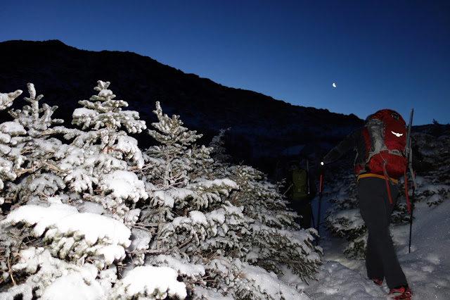
Breaking treeline on Mt Madison before dawn
Matt near the summit of Mt Madison with Alpenglow on Mt Adams (right) and Mt Washington (back, left)
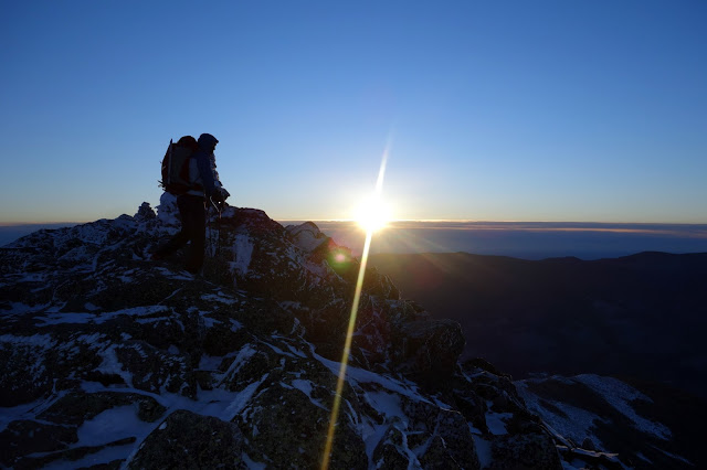
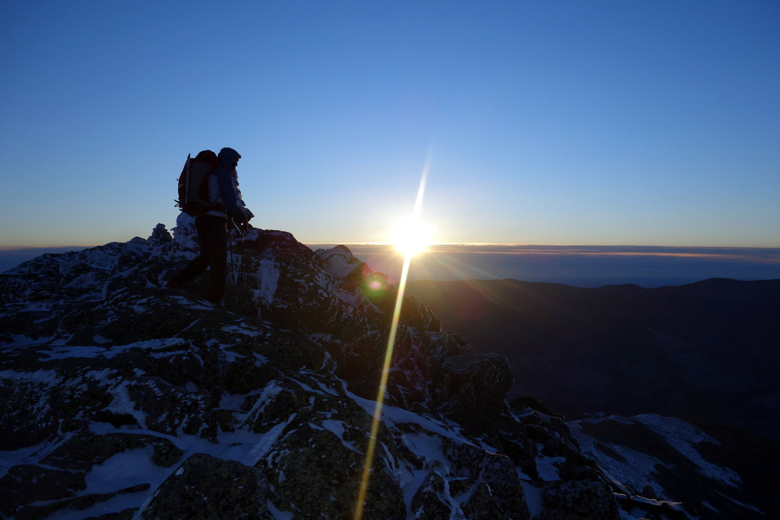
Owen reaches the summit of Mt Madison just as the sun breaks above the clouds
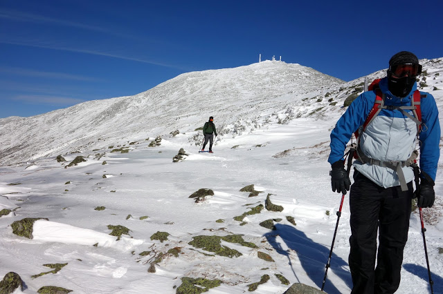
The hike to the summit of Mt Madison was so cold I almost turned the group around then. The sun hadn't risen yet and so the air temps were still below zero from the night before. Winds were forecasted to be about 30mph with a wind chill down in the -40 range. I believe it. We were dressed too lightly to be out above treeline in conditions like that. We brought light, single boots for speed and mobility, but they were not adequate in those temperatures. Luckily, things warmed up significantly as the sun rose.
Initial climb toward Mt Adams from the Madison Spring Hut (closed in winter, of course)
Reaching the summit of Mt Adams (photo by Matt Tse)
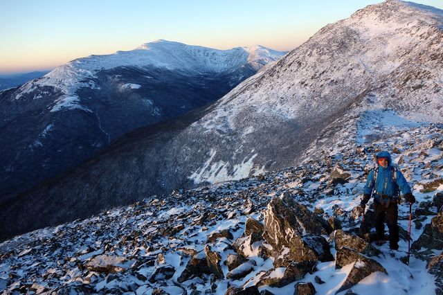
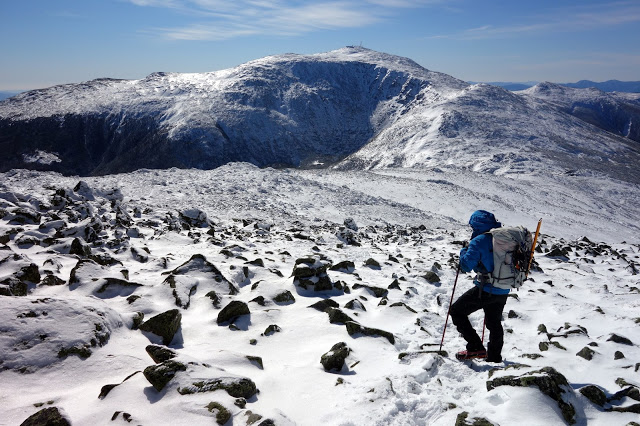
Descending from Mt Adams, toward Mt Jefferson (right) and Mt Washington (left)
Crossing a potential avalanche slope one at a time on Mt Jefferson
Matt descending the summit of Mt Jefferson en route to Mt Washington
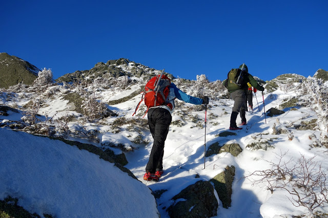
It was around this time one of my ski poles broke. That was a bit of a pain since we were not carrying real crampons (only microspikes) and the lack of additional stability was difficult at some spots along the trail.
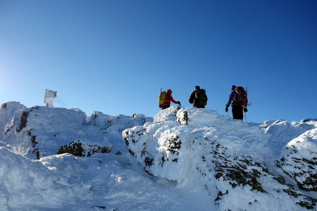
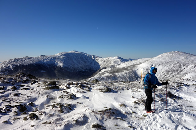
Not psyched about the climb up to Mt Washington, the second largest elevation gain of the day
Summit of Mt Washington
At this point in a Presidential Traverse, you've gone a little over half the total distance but gained at least 80% of the total elevation. We knew we weren't done yet, but our chances of success from the top of Mt Washington are exponentially larger, if only because it's much easier to descend to our end point than retrace our steps. Also in a bizarre turn of events, the wind on the summit of Mt Washington was quite low, making it the warmest single spot of our whole traverse.
Looking at the Southern Presidentials from the summit of Mt Washington
Matt descending from Mt Washington while eating a chest-thawed sandwich
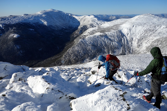
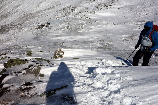
The only point on our traverse where crampons would have been good. We crossed a slightly steep, refrozen slope near Lakes of the Clouds Hut.
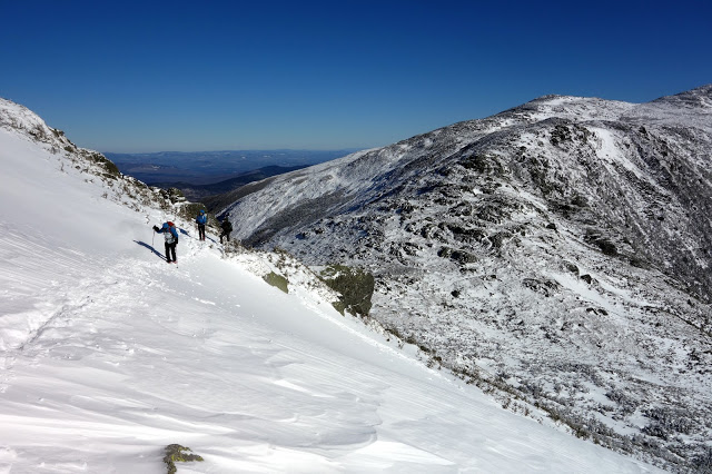
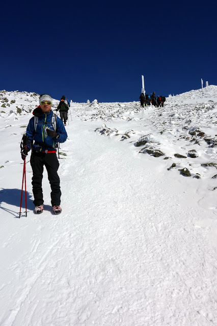
Looking back at Owen and Jake and Mt Washington as they near Lakes of the Clouds Hut
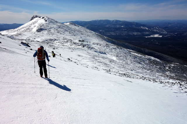
When we reached Lakes of the Clouds Hut, we made an extended stop to eat and drink. We'd been moving for the last three hours without a stop, eating only what we could keep in our pockets. Most of us were digging deep at this point. After refueling at Lakes of the Clouds Hut, we began the immediate ascent of Mt Monroe.
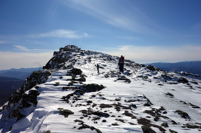
Owen crosses a cornice near the summit of Mt Monroe. Lakes of the Clouds Hut can be seen below.
Summit of Mt Monroe
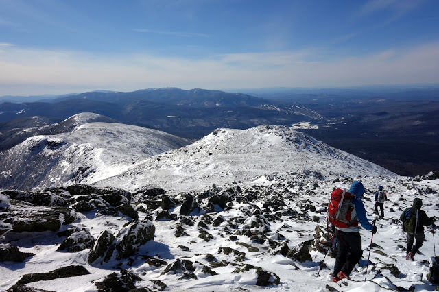
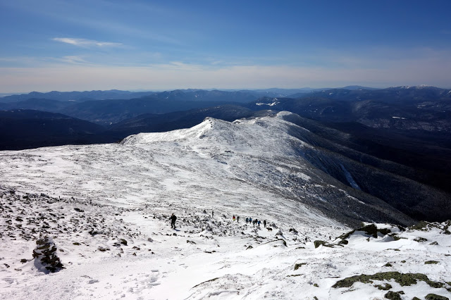
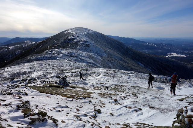
Looking at the long stretch of ridge between Mt Monroe and Mt Eisenhower (the far bump)

Looking back at Mt Monroe and Mt Washington
Finally approaching Mt Eisenhower, or Heartbreak Hill as I kept calling it.
Pretty tanked on the summit of Mt Eisenhower. in the background from left to right: Mt Jefferson, Mt Washington, and the little bump on the right skyline of Mt Washington is Mt Monroe.
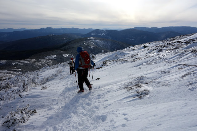
Descending Mt Eisenhower toward Mt Pierce as afternoon descends on us
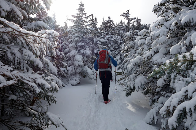
A nice respite from the wind below treeline for a while
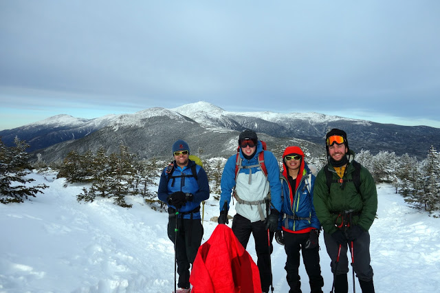
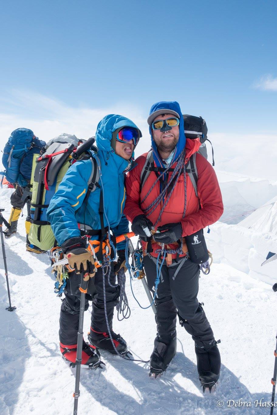
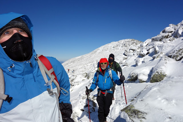
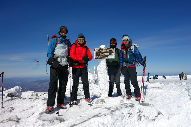
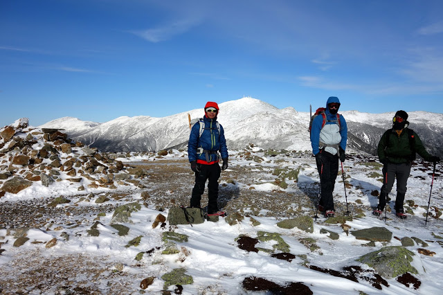
The four of us on the summit of Mt Pierce, the last summit of our trip. In the back are Mt Jefferson, Mt Washington, Mt Monroe, and Mt Eisenhower.
We didn't linger on the summit of Mt Pierce longer than it took to get our picture taken. We reversed our tracks down to the Crawford Path. From there it was 3.1 miles and about 2500' of elevation loss to reach our car, which we did in about an hour and a half.
Honestly, there isn't a lot to discuss with this trip. The fantastic weather really simplified things, and since all of us had done the Traverse in a day before in the summer, route-finding wasn't an issue. I think everyone got a better appreciation for the seriousness of winter mountaineering, as well as the importance of constant eating on a long, arduous day. There are things you can get away with in the summer that simply won't cut it in the winter. We carried ice axes but never used them. If we were to use them, the short steep slope we encountered just before Lakes of the Clouds would have been the place. There were decent enough steps cut in that snowfield and we had ski poles to help with balance so I didn't think it was necessary to kill the group's momentum to get out ice axes. We didn't carry crampons (Matt did), that was a decision I made before we started. I correctly predicted what conditions would be like, and despite recommendations from EMS and IME in North Conway that crampons are required, I thought we could get away without the extra weight.
I absolutely do not recommend you doing the same thing unless you're very familiar with the range and the current conditions.
Some Stats:
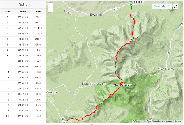
Courtesy of Strava, tracked on my GPS watch

